Estimated Value: $307,000 - $384,000
1
Bed
1
Bath
887
Sq Ft
$390/Sq Ft
Est. Value
About This Home
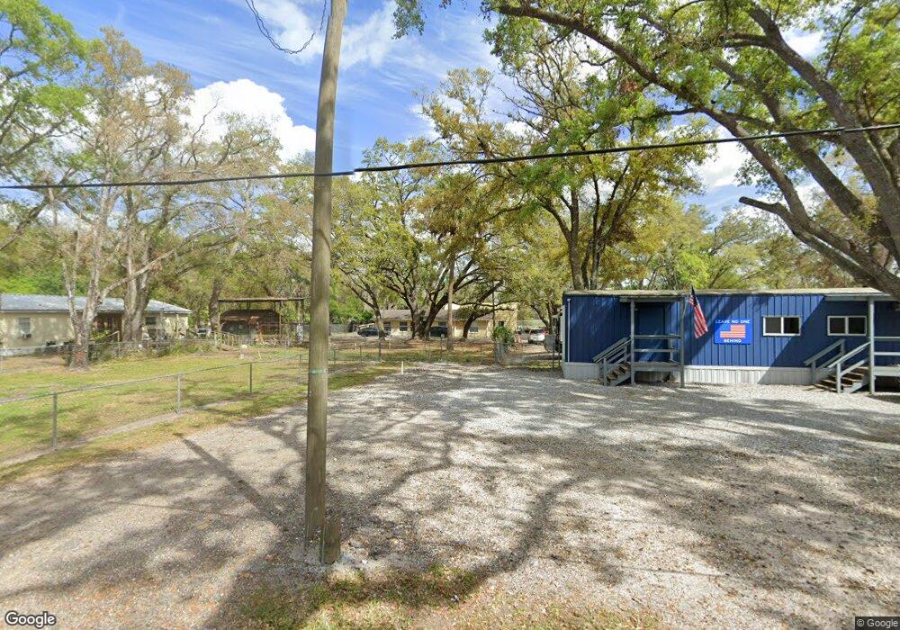
This home is located at 2765 Jason St, Tampa, FL 33619 and is currently estimated at $345,500, approximately $389 per square foot. 2765 Jason St is a home located in Hillsborough County with nearby schools including Kenly Elementary School, Pioneer Elementary School, and Mclane Middle School.
Ownership History
Date
Name
Owned For
Owner Type
Purchase Details
Closed on
Jun 6, 2007
Sold by
Megamar Llc
Bought by
Carino Robert F and Carino Maria Louisa
Current Estimated Value
Purchase Details
Closed on
Jun 5, 2007
Sold by
Carino Robert F and Carino Marie Louise A
Bought by
Franklin Office Suites Llc
Purchase Details
Closed on
Jul 21, 2006
Sold by
Green Naoma and Spencer Naoma
Bought by
Megamar Llc
Purchase Details
Closed on
Feb 6, 2006
Sold by
County Of Hillsborough
Bought by
Carino Robert F and Carino Marie Louise A
Purchase Details
Closed on
Apr 4, 2003
Sold by
Fahising John A and Spencer Naoma
Bought by
Spencer Naoma
Create a Home Valuation Report for This Property
The Home Valuation Report is an in-depth analysis detailing your home's value as well as a comparison with similar homes in the area
Home Values in the Area
Average Home Value in this Area
Purchase History
| Date | Buyer | Sale Price | Title Company |
|---|---|---|---|
| Carino Robert F | -- | Alday Donalson Title Agency | |
| Franklin Office Suites Llc | $45,000 | Alday Donalson Title Agency | |
| Megamar Llc | -- | None Available | |
| Carino Robert F | $59,500 | None Available | |
| Spencer Naoma | $6,000 | -- |
Source: Public Records
Tax History Compared to Growth
Tax History
| Year | Tax Paid | Tax Assessment Tax Assessment Total Assessment is a certain percentage of the fair market value that is determined by local assessors to be the total taxable value of land and additions on the property. | Land | Improvement |
|---|---|---|---|---|
| 2024 | $539 | $57,024 | $57,024 | -- |
| 2023 | $519 | $57,024 | $57,024 | $0 |
| 2022 | $380 | $34,214 | $34,214 | $0 |
| 2021 | $375 | $34,214 | $34,214 | $0 |
| 2020 | $364 | $34,214 | $34,214 | $0 |
| 2019 | $418 | $44,479 | $44,479 | $0 |
| 2018 | $247 | $17,791 | $0 | $0 |
| 2017 | $216 | $14,370 | $0 | $0 |
| 2016 | $209 | $9,032 | $0 | $0 |
| 2015 | $160 | $8,211 | $0 | $0 |
| 2014 | $293 | $13,147 | $0 | $0 |
| 2013 | -- | $11,952 | $0 | $0 |
Source: Public Records
Map
Nearby Homes
- 0 Reeves Rd
- 2208 Laceflower Dr
- 2129 Lennox Dale Ln
- 2153 Broadway View Ave
- 2138 Broadway View Ave
- 2206 Wallwood Place
- 2130 Broadway View Ave
- 1206 Fisher Ln
- 2110 Laceflower Dr
- 2445 Earlswood Ct
- 9552 Princess Palm Ave
- 3102 Williams Rd
- 2523 Earlswood Ct
- 2714 Chestnut Creek Place
- 9450 E Columbus Dr
- 1911 Rambling Ln
- 9802 Blue Palm Way
- 2760 Emory Sound Place
- 4121 Key Thatch Dr
- 3506 High Hampton Cir
- 10113 Lake Ave
- 10109 Lake Ave
- 10112 Lake Ave
- 10108 Lake Ave
- 10105 Oak Ave Unit 198
- 10105 Oak Ave Unit 197
- 10105 Oak Ave Unit 181
- 10201 Oak Ave
- 10118 E Columbus Dr
- 0 Lake Ave
- 00 Lake Ave
- 10108 E Columbus Dr
- 10114 E Columbus Dr
- 0 00 Lake Ave
- 0 0 Lake Ave
- 10124 E Columbus Dr
- 10119 Leroy Ave
- 10126 Oak Ave
- 10216 Lake Ave
- 10220 Lake Ave