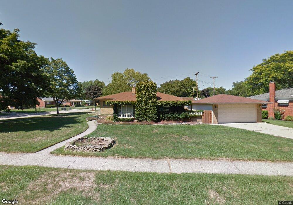
27652 Perth St Livonia, MI 48154
Estimated Value: $292,454 - $314,000
3
Beds
2
Baths
1,246
Sq Ft
$242/Sq Ft
Est. Value
About This Home
This home is located at 27652 Perth St, Livonia, MI 48154 and is currently estimated at $301,864, approximately $242 per square foot. 27652 Perth St is a home located in Wayne County with nearby schools including Roosevelt Elementary School, Emerson Middle School, and Cooper Upper Elementary School.
Ownership History
Date
Name
Owned For
Owner Type
Purchase Details
Closed on
Dec 30, 2019
Sold by
Haynes John A and Haynes Kelley
Bought by
Haynes Robert and Haynes Joann
Current Estimated Value
Home Financials for this Owner
Home Financials are based on the most recent Mortgage that was taken out on this home.
Original Mortgage
$200,877
Interest Rate
3.5%
Mortgage Type
VA
Purchase Details
Closed on
Dec 23, 2002
Sold by
Sarkisian Christopher and Sarkisian Pamela
Bought by
Haynes John A
Purchase Details
Closed on
Oct 3, 1997
Sold by
Wy Catherine A and Wy Larry G
Bought by
Sarkisian Christopher
Create a Home Valuation Report for This Property
The Home Valuation Report is an in-depth analysis detailing your home's value as well as a comparison with similar homes in the area
Home Values in the Area
Average Home Value in this Area
Purchase History
| Date | Buyer | Sale Price | Title Company |
|---|---|---|---|
| Haynes Robert | $196,650 | None Available | |
| Haynes John A | $184,600 | Capital Title Ins Agency | |
| Sarkisian Christopher | $148,000 | -- |
Source: Public Records
Mortgage History
| Date | Status | Borrower | Loan Amount |
|---|---|---|---|
| Previous Owner | Haynes Robert | $200,877 |
Source: Public Records
Tax History Compared to Growth
Tax History
| Year | Tax Paid | Tax Assessment Tax Assessment Total Assessment is a certain percentage of the fair market value that is determined by local assessors to be the total taxable value of land and additions on the property. | Land | Improvement |
|---|---|---|---|---|
| 2025 | $1,650 | $140,100 | $0 | $0 |
| 2024 | $1,650 | $134,700 | $0 | $0 |
| 2023 | $1,574 | $121,400 | $0 | $0 |
| 2022 | $2,765 | $108,300 | $0 | $0 |
| 2021 | $2,685 | $97,900 | $0 | $0 |
| 2019 | $3,718 | $82,000 | $0 | $0 |
| 2018 | $1,889 | $72,900 | $0 | $0 |
| 2017 | $3,448 | $69,700 | $0 | $0 |
| 2016 | $3,559 | $69,700 | $0 | $0 |
| 2015 | $5,687 | $63,460 | $0 | $0 |
| 2012 | -- | $56,220 | $18,350 | $37,870 |
Source: Public Records
Map
Nearby Homes
- 27407 Buckingham St
- 13968 Inkster Rd
- LOT 149 Seminole
- LOT 147 Seminole
- 14068 Mercedes
- 14008 Mercedes
- 27674 Western Golf Dr
- 14174 San Jose
- 13111 Sioux
- 13985 Breakfast Dr
- 14334 Sunbury St
- 14243 Mason Dr
- 29109 Perth St
- 14907 Taylor Blvd
- 14844 Inkster Rd
- 14041 Minock Dr
- 26914 Glendale
- 14483 Garden St
- 14920 Taylor Blvd
- 14488 Summerside St