2766 High Tide Dr Atlanta, GA 30349
Estimated Value: $221,000 - $263,000
3
Beds
2
Baths
1,721
Sq Ft
$139/Sq Ft
Est. Value
About This Home
This home is located at 2766 High Tide Dr, Atlanta, GA 30349 and is currently estimated at $238,827, approximately $138 per square foot. 2766 High Tide Dr is a home located in Fulton County with nearby schools including Heritage Elementary School, Woodland Middle School, and Banneker High School.
Ownership History
Date
Name
Owned For
Owner Type
Purchase Details
Closed on
Aug 16, 2021
Sold by
Arjun Borrower Llc
Bought by
Rs Rental I Llc
Current Estimated Value
Purchase Details
Closed on
Nov 23, 2020
Sold by
Nazar Holdings 13 Llc
Bought by
Arjun Borrower Llc
Purchase Details
Closed on
Aug 3, 2012
Sold by
St Redevelopment Grp Inc
Bought by
Nazar Holdings 13 Llc
Purchase Details
Closed on
Oct 7, 2011
Sold by
Homesales Inc
Bought by
St Redevelopment Grp Inc
Create a Home Valuation Report for This Property
The Home Valuation Report is an in-depth analysis detailing your home's value as well as a comparison with similar homes in the area
Home Values in the Area
Average Home Value in this Area
Purchase History
| Date | Buyer | Sale Price | Title Company |
|---|---|---|---|
| Rs Rental I Llc | $600,000 | -- | |
| Arjun Borrower Llc | -- | -- | |
| Nazar Holdings 13 Llc | $57,000 | -- | |
| St Redevelopment Grp Inc | $28,000 | -- |
Source: Public Records
Tax History Compared to Growth
Tax History
| Year | Tax Paid | Tax Assessment Tax Assessment Total Assessment is a certain percentage of the fair market value that is determined by local assessors to be the total taxable value of land and additions on the property. | Land | Improvement |
|---|---|---|---|---|
| 2025 | $2,473 | $101,560 | $25,440 | $76,120 |
| 2023 | $1,812 | $64,200 | $14,720 | $49,480 |
| 2022 | $2,517 | $64,200 | $14,720 | $49,480 |
| 2021 | $2,495 | $62,320 | $14,280 | $48,040 |
| 2020 | $2,160 | $53,080 | $7,240 | $45,840 |
| 2019 | $1,923 | $48,680 | $6,760 | $41,920 |
| 2018 | $809 | $39,760 | $5,880 | $33,880 |
| 2017 | $828 | $20,320 | $4,920 | $15,400 |
| 2016 | $828 | $20,320 | $4,920 | $15,400 |
| 2015 | $831 | $20,320 | $4,920 | $15,400 |
| 2014 | $745 | $20,320 | $4,920 | $15,400 |
Source: Public Records
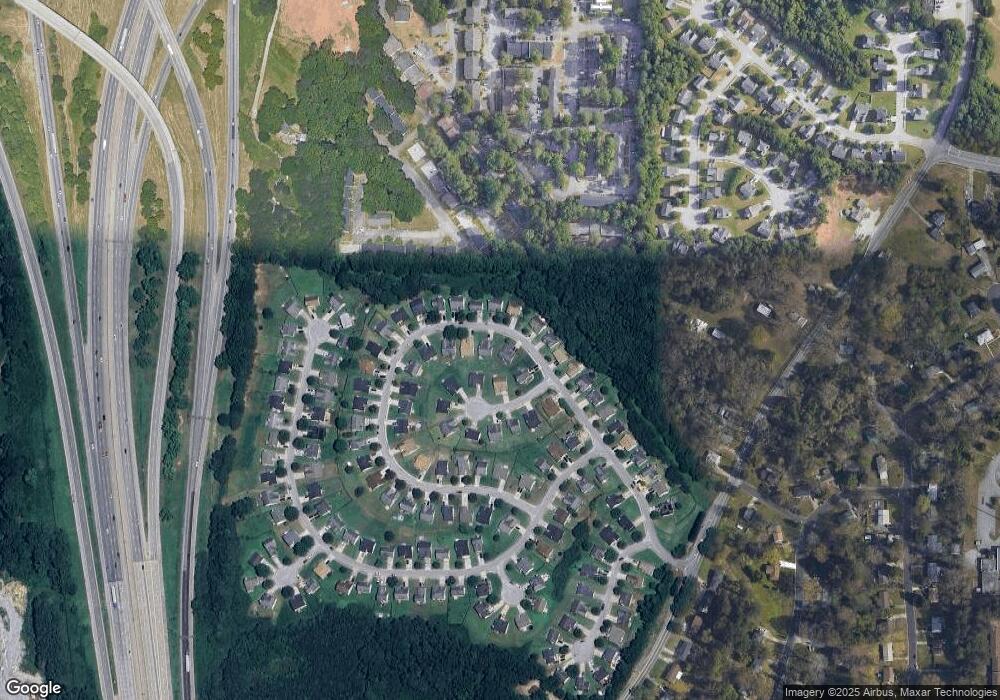
Map
Nearby Homes
- 5342 Sand Bar Ln
- 3120 Godby Rd Unit 1132
- 3120 Godby Rd
- 5312 Westford Cir
- 2765 Live Oak Trail
- 5425 Westford Cir
- 5157 Seashell Ln
- 2849 Windsor Forrest Ct
- 5149 Seashell Ln
- 5337 Jerome Rd
- 5074 Windsor Forrest Ln
- 5072 Windsor Forrest Ln
- 5057 Windsor Forrest Ln
- 5430 Old Bill Cook Rd
- 2760 Swansea Ct
- 2595 Northfield Ct
- 2910 Jerome Rd
- 5439 Baybrook Cir
- 5441 Baybrook Cir
- 5443 Baybrook Cir
- 2770 High Tide Dr
- 2762 High Tide Dr
- 5277 High Tide Ct Unit 2
- 5275 High Tide Ct
- 2778 High Tide Dr
- 2778 High Tide Dr Unit 2
- 2771 High Tide Dr
- 2767 High Tide Dr Unit 2
- 2763 High Tide Dr Unit 2
- 5279 High Tide Ct
- 2759 High Tide Dr
- 2775 High Tide Dr
- 2786 High Tide Dr
- 0 High Tide Ct Unit 7393596
- 0 High Tide Ct Unit 7422912
- 0 High Tide Ct Unit 3167343
- 0 High Tide Ct Unit 8305078
- 0 High Tide Ct Unit 8263677
- 0 High Tide Ct
- 2779 High Tide Dr