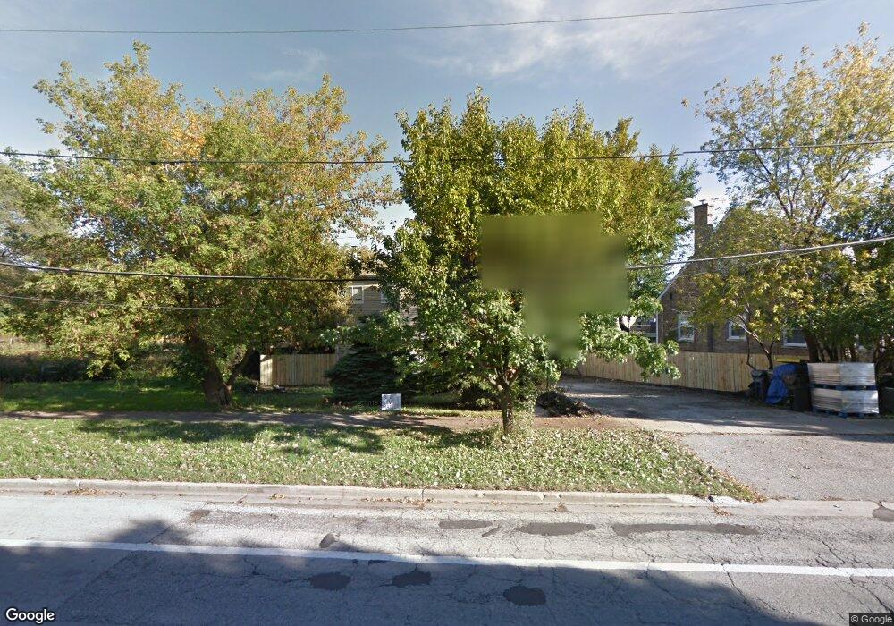
2767 Gross Point Rd Evanston, IL 60201
Central Street NeighborhoodEstimated Value: $826,000 - $921,222
3
Beds
2
Baths
1,867
Sq Ft
$470/Sq Ft
Est. Value
About This Home
This home is located at 2767 Gross Point Rd, Evanston, IL 60201 and is currently estimated at $877,556, approximately $470 per square foot. 2767 Gross Point Rd is a home located in Cook County with nearby schools including Willard Elementary School, Haven Middle School, and Evanston Township High School.
Ownership History
Date
Name
Owned For
Owner Type
Purchase Details
Closed on
May 27, 1997
Sold by
Limanowski Maxwell
Bought by
Malewicka Jadwiga
Current Estimated Value
Home Financials for this Owner
Home Financials are based on the most recent Mortgage that was taken out on this home.
Original Mortgage
$123,750
Outstanding Balance
$20,450
Interest Rate
9.75%
Estimated Equity
$857,106
Purchase Details
Closed on
Nov 5, 1993
Sold by
Vocate Unus and Vocate Charlotte
Bought by
Limanowski Maxwell
Home Financials for this Owner
Home Financials are based on the most recent Mortgage that was taken out on this home.
Original Mortgage
$142,200
Interest Rate
6.96%
Create a Home Valuation Report for This Property
The Home Valuation Report is an in-depth analysis detailing your home's value as well as a comparison with similar homes in the area
Home Values in the Area
Average Home Value in this Area
Purchase History
| Date | Buyer | Sale Price | Title Company |
|---|---|---|---|
| Malewicka Jadwiga | $167,000 | Rei Title | |
| Limanowski Maxwell | $105,333 | -- |
Source: Public Records
Mortgage History
| Date | Status | Borrower | Loan Amount |
|---|---|---|---|
| Open | Malewicka Jadwiga | $123,750 | |
| Previous Owner | Limanowski Maxwell | $142,200 |
Source: Public Records
Tax History Compared to Growth
Tax History
| Year | Tax Paid | Tax Assessment Tax Assessment Total Assessment is a certain percentage of the fair market value that is determined by local assessors to be the total taxable value of land and additions on the property. | Land | Improvement |
|---|---|---|---|---|
| 2024 | $15,493 | $64,000 | $24,509 | $39,491 |
| 2023 | $14,866 | $64,000 | $24,509 | $39,491 |
| 2022 | $14,866 | $64,000 | $24,509 | $39,491 |
| 2021 | $16,393 | $61,772 | $15,984 | $45,788 |
| 2020 | $16,174 | $61,772 | $15,984 | $45,788 |
| 2019 | $15,783 | $67,364 | $15,984 | $51,380 |
| 2018 | $15,043 | $54,908 | $13,320 | $41,588 |
| 2017 | $14,651 | $54,908 | $13,320 | $41,588 |
| 2016 | $13,896 | $54,908 | $13,320 | $41,588 |
| 2015 | $11,196 | $41,757 | $11,188 | $30,569 |
| 2014 | $11,090 | $41,757 | $11,188 | $30,569 |
| 2013 | $11,995 | $46,228 | $11,188 | $35,040 |
Source: Public Records
Map
Nearby Homes
- 146 Sterling Ln
- 2131 Parkview Ct
- 3233 Central St
- 115 16th St
- 2518 Ridgeway Ave
- 2539 Marcy Ave
- 2040 Central Ave
- 2719 Princeton Ave
- 1517 Gregory Ave
- 1531 Wilmette Ave
- 2705 Lincolnwood Dr
- 2951 Colfax St
- 9833 Keystone Ave
- 1320 Maple Ave
- 2730 Central St Unit 3A
- 2726 Central St Unit 3D
- 801 Harvard St
- 1303 Maple Ave
- 2720 Central St Unit 4C
- 1925 Lake Ave Unit 318