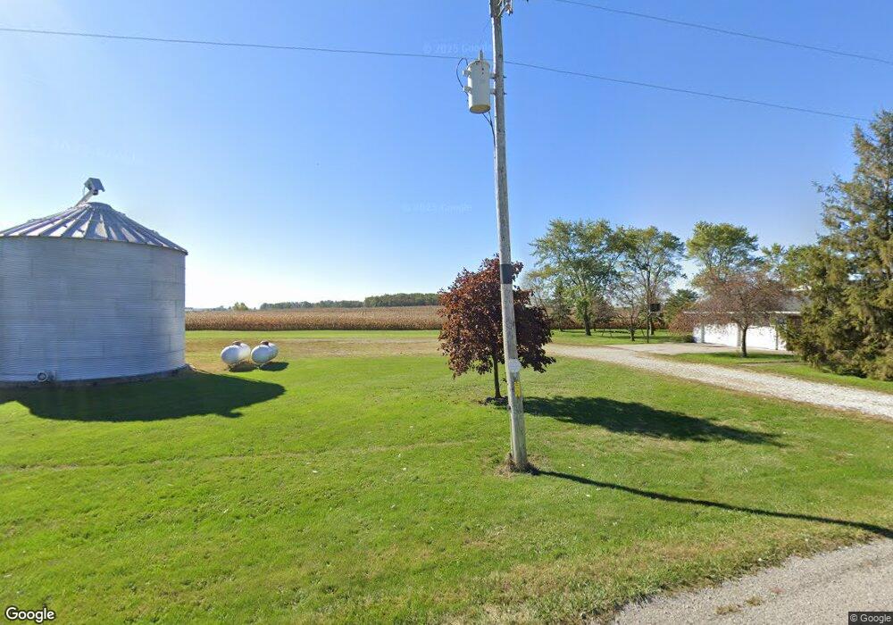
2767 State Route 705 New Weston, OH 45348
Estimated Value: $241,000 - $363,000
3
Beds
2
Baths
2,085
Sq Ft
$148/Sq Ft
Est. Value
About This Home
This home is located at 2767 State Route 705, New Weston, OH 45348 and is currently estimated at $308,280, approximately $147 per square foot. 2767 State Route 705 is a home with nearby schools including Mississinawa Valley Elementary School and Mississinawa Valley Junior/Senior High School.
Ownership History
Date
Name
Owned For
Owner Type
Purchase Details
Closed on
Jul 8, 2010
Sold by
Hein Cheryl L and Kunkler Cheryl L
Bought by
Hein Cheryl L and Cheryl L Hein Trust
Current Estimated Value
Purchase Details
Closed on
Dec 22, 2008
Sold by
Estate Of David A Hein
Bought by
Hein Cheryl L
Purchase Details
Closed on
Jun 14, 1995
Sold by
Kunkler Fredrick J
Bought by
Hein David A and Hein Cheryl L
Home Financials for this Owner
Home Financials are based on the most recent Mortgage that was taken out on this home.
Original Mortgage
$72,258
Interest Rate
8.27%
Mortgage Type
New Conventional
Create a Home Valuation Report for This Property
The Home Valuation Report is an in-depth analysis detailing your home's value as well as a comparison with similar homes in the area
Home Values in the Area
Average Home Value in this Area
Purchase History
| Date | Buyer | Sale Price | Title Company |
|---|---|---|---|
| Hein Cheryl L | -- | Attorney | |
| Hein Cheryl L | -- | None Available | |
| Hein David A | $35,250 | -- |
Source: Public Records
Mortgage History
| Date | Status | Borrower | Loan Amount |
|---|---|---|---|
| Previous Owner | Hein David A | $72,258 |
Source: Public Records
Tax History Compared to Growth
Tax History
| Year | Tax Paid | Tax Assessment Tax Assessment Total Assessment is a certain percentage of the fair market value that is determined by local assessors to be the total taxable value of land and additions on the property. | Land | Improvement |
|---|---|---|---|---|
| 2024 | $2,266 | $80,290 | $13,010 | $67,280 |
| 2023 | $2,283 | $80,290 | $13,010 | $67,280 |
| 2022 | $2,352 | $75,650 | $11,310 | $64,340 |
| 2021 | $2,288 | $75,650 | $11,310 | $64,340 |
| 2020 | $2,298 | $75,650 | $11,310 | $64,340 |
| 2019 | $2,073 | $67,260 | $11,310 | $55,950 |
| 2018 | $2,183 | $67,260 | $11,310 | $55,950 |
| 2017 | $1,801 | $67,260 | $11,310 | $55,950 |
| 2016 | $1,748 | $57,080 | $9,700 | $47,380 |
| 2015 | $1,748 | $57,080 | $9,700 | $47,380 |
| 2014 | $1,844 | $59,140 | $9,700 | $49,440 |
| 2013 | $1,948 | $58,860 | $9,420 | $49,440 |
Source: Public Records
Map
Nearby Homes
- 4475 Ohio 705
- 3709 Rossburg-Lightsville Rd
- 4543 Lange Rd
- 201 W Wiggs St
- 304 S Wayne St
- 0 Ohio 118
- 21 E Star Rd
- 45 Cassella Montezuma Rd
- 63 Cassella-Montezuma Rd
- 3052 State Route 47
- 211 Pearl St
- 309 Smith St
- 5226 Riffle Rd
- 0 County Road 400 N
- 159 Mendenhall Rd
- 158 Mendenhall Rd
- 157 Mendenhall Rd
- 420 S 1st St
- 1291 State Route 219
- 140 Liberty Dr
- 2688 State Route 705
- 2983 Ohio 705
- 14609 Cochran Rd
- 2795 Kuhl Rd
- 14605 Lightsville Northern Rd
- 2585 Kuhl Rd
- 3126 State Route 705
- 14788 Cochran Rd
- 14830 Cochran Rd
- 3197 State Route 705
- 14240 Lightsville Northern Rd
- 14143 Cochran Rd
- 14830 Lightsville Northern Rd
- 14873 Lightsville Northern Rd
- 14938 Cochran Rd
- 2877 Mercer Darke Co Line Rd
- 2715 Mercer Darke Co Line Rd