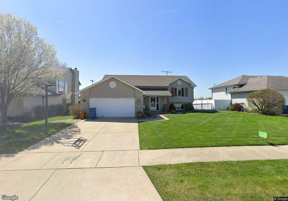
2768 Autumn Dr Crown Point, IN 46307
Estimated Value: $384,603 - $431,000
3
Beds
3
Baths
2,770
Sq Ft
$149/Sq Ft
Est. Value
About This Home
This home is located at 2768 Autumn Dr, Crown Point, IN 46307 and is currently estimated at $411,401, approximately $148 per square foot. 2768 Autumn Dr is a home located in Lake County with nearby schools including Homan Elementary School, Michael Grimmer Middle School, and Lake Central High School.
Ownership History
Date
Name
Owned For
Owner Type
Purchase Details
Closed on
Aug 28, 2014
Sold by
Wilkins Michael Z and Wilkins Amy L
Bought by
Wilkins Michael Z
Current Estimated Value
Home Financials for this Owner
Home Financials are based on the most recent Mortgage that was taken out on this home.
Original Mortgage
$204,250
Outstanding Balance
$154,312
Interest Rate
4.1%
Mortgage Type
New Conventional
Estimated Equity
$257,089
Purchase Details
Closed on
Jun 11, 2007
Sold by
Bauner Michael and Bauner Tricia
Bought by
Wilkins Michael Z and Wilkins Amy L
Home Financials for this Owner
Home Financials are based on the most recent Mortgage that was taken out on this home.
Original Mortgage
$184,000
Interest Rate
6.2%
Mortgage Type
Purchase Money Mortgage
Create a Home Valuation Report for This Property
The Home Valuation Report is an in-depth analysis detailing your home's value as well as a comparison with similar homes in the area
Home Values in the Area
Average Home Value in this Area
Purchase History
| Date | Buyer | Sale Price | Title Company |
|---|---|---|---|
| Wilkins Michael Z | -- | Multiple | |
| Wilkins Michael Z | -- | Ticor Schererville |
Source: Public Records
Mortgage History
| Date | Status | Borrower | Loan Amount |
|---|---|---|---|
| Open | Wilkins Michael Z | $204,250 | |
| Previous Owner | Wilkins Michael Z | $184,000 |
Source: Public Records
Tax History
| Year | Tax Paid | Tax Assessment Tax Assessment Total Assessment is a certain percentage of the fair market value that is determined by local assessors to be the total taxable value of land and additions on the property. | Land | Improvement |
|---|---|---|---|---|
| 2025 | $2,992 | $380,200 | $54,100 | $326,100 |
| 2024 | $2,992 | $366,500 | $54,100 | $312,400 |
| 2023 | $2,740 | $327,600 | $54,100 | $273,500 |
| 2022 | $2,740 | $278,200 | $54,100 | $224,100 |
| 2021 | $2,576 | $267,500 | $54,100 | $213,400 |
| 2020 | $2,451 | $251,600 | $42,600 | $209,000 |
| 2019 | $2,582 | $242,900 | $39,700 | $203,200 |
| 2018 | $2,453 | $230,700 | $39,700 | $191,000 |
| 2017 | $2,243 | $224,500 | $39,700 | $184,800 |
| 2016 | $2,177 | $219,200 | $39,700 | $179,500 |
| 2014 | $2,149 | $225,900 | $39,700 | $186,200 |
| 2013 | $2,166 | $222,400 | $39,700 | $182,700 |
Source: Public Records
Map
Nearby Homes
- 2756 Autumn Dr
- 1444 Woodview Dr Unit 7
- 2914 Morningside Dr
- 8323 Fairbanks St Unit 3E
- 7552 W 82nd Ct
- 2952 Freedom Cir
- 1795 Wedgewood Ct
- 1874 Springvale Dr
- 7521 Kil Ct
- 8676 Fulton Place
- 5547 Victoria Place
- 5536 Cedar Point Dr Unit A16
- 6076 Wexford Way
- 5980 Wexford Way
- 6440 W 89th Ave
- 8049 W 85th Ct
- 7383 Emerson Ct
- 10920 Missouri Place
- 7506 Fawn Valley Dr
- 7216 Fawn Valley Dr
Your Personal Tour Guide
Ask me questions while you tour the home.