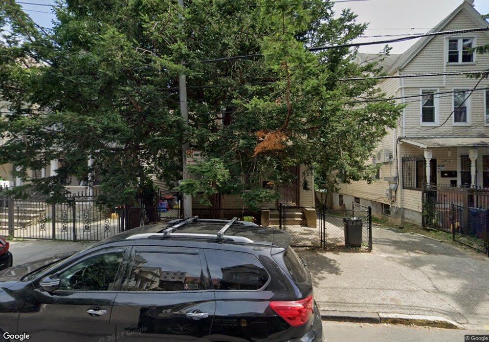
2768 Decatur Ave Bronx, NY 10458
Fordham Manor NeighborhoodEstimated Value: $824,000 - $1,147,209
5
Beds
2
Baths
2,108
Sq Ft
$461/Sq Ft
Est. Value
About This Home
This home is located at 2768 Decatur Ave, Bronx, NY 10458 and is currently estimated at $971,302, approximately $460 per square foot. 2768 Decatur Ave is a home located in Bronx County with nearby schools including Ps 20 George J Werdan Iii, Thomas C Giordano Middleschool 45, and Our Lady of Refuge School.
Ownership History
Date
Name
Owned For
Owner Type
Purchase Details
Closed on
Sep 27, 2016
Sold by
Woli Hope W
Bought by
Tayo S Woli Trustee and The Hope W Woli Irrevocable Trust
Current Estimated Value
Purchase Details
Closed on
Jun 30, 1994
Sold by
Woli Wahab Kayode and Woli Hope W
Bought by
Woli Hope W
Home Financials for this Owner
Home Financials are based on the most recent Mortgage that was taken out on this home.
Original Mortgage
$110,000
Interest Rate
8.5%
Create a Home Valuation Report for This Property
The Home Valuation Report is an in-depth analysis detailing your home's value as well as a comparison with similar homes in the area
Home Values in the Area
Average Home Value in this Area
Purchase History
| Date | Buyer | Sale Price | Title Company |
|---|---|---|---|
| Tayo S Woli Trustee | -- | -- | |
| Tayo S Woli Trustee | -- | -- | |
| Woli Hope W | -- | -- | |
| Woli Hope W | -- | -- |
Source: Public Records
Mortgage History
| Date | Status | Borrower | Loan Amount |
|---|---|---|---|
| Previous Owner | Woli Hope W | $110,000 |
Source: Public Records
Tax History Compared to Growth
Tax History
| Year | Tax Paid | Tax Assessment Tax Assessment Total Assessment is a certain percentage of the fair market value that is determined by local assessors to be the total taxable value of land and additions on the property. | Land | Improvement |
|---|---|---|---|---|
| 2025 | $4,339 | $21,785 | $4,958 | $16,827 |
| 2024 | $4,339 | $21,602 | $5,088 | $16,514 |
| 2023 | $4,140 | $20,384 | $4,158 | $16,226 |
| 2022 | $3,840 | $43,260 | $10,500 | $32,760 |
| 2021 | $3,822 | $38,100 | $10,500 | $27,600 |
| 2020 | $3,843 | $42,060 | $10,500 | $31,560 |
| 2019 | $3,766 | $35,100 | $10,500 | $24,600 |
| 2018 | $3,463 | $16,987 | $5,405 | $11,582 |
| 2017 | $3,268 | $16,030 | $6,165 | $9,865 |
| 2016 | $3,026 | $15,136 | $4,951 | $10,185 |
| 2015 | $1,824 | $15,128 | $5,977 | $9,151 |
| 2014 | $1,824 | $15,002 | $6,706 | $8,296 |
Source: Public Records
Map
Nearby Homes
- 2779 Marion Ave
- 2798 Pond Place
- 398 Oliver Place Unit 6G
- 398 Oliver Place Unit 1A
- 2696 Marion Ave
- 2866 Marion Ave Unit 6J
- 2866 Marion Ave Unit 4D
- 2866 Marion Ave Unit 4C
- 2830 Briggs Ave Unit WIA
- 2830 Briggs Ave Unit 5B
- 2830 Briggs Ave Unit 4-H
- 2830 Briggs Ave Unit 4F
- 2830 Briggs Ave Unit 3F
- 2830 Briggs Ave Unit 5-C
- 2670 Marion Ave
- 2677 Marion Ave
- 2675 Marion Ave
- 2856 Briggs Ave
- 2862 Briggs Ave
- 2661 Marion Ave Unit 1H
- 2770 Decatur Ave
- 2766 Decatur Ave
- 2772 Decatur Ave
- 2764 Decatur Ave
- 2774 Decatur Ave
- 388-390 E 198th St
- 2776 Decatur Ave
- 2765 Webster Ave
- 2763 Webster Ave
- 2778 Decatur Ave
- 2761 Webster Ave
- 2769 Webster Ave
- 2767 Webster Ave
- 2767 Decatur Ave
- 2771 Webster Ave
- 2755 Webster Ave
- 2771 Decatur Ave
- 366 E 198th St
- 2761 Decatur Ave
- 2761 Decatur Ave Unit 3B