2769 Rivers Edge Dr Bogart, GA 30622
Estimated Value: $1,335,000 - $2,058,025
--
Bed
--
Bath
5,224
Sq Ft
$327/Sq Ft
Est. Value
About This Home
This home is located at 2769 Rivers Edge Dr, Bogart, GA 30622 and is currently estimated at $1,709,256, approximately $327 per square foot. 2769 Rivers Edge Dr is a home with nearby schools including Rocky Branch Elementary School, Malcom Bridge Middle School, and North Oconee High School.
Ownership History
Date
Name
Owned For
Owner Type
Purchase Details
Closed on
Feb 26, 2021
Sold by
Bulldog Estates Llc
Bought by
General Construction Svcs Of Georgia Inc
Current Estimated Value
Purchase Details
Closed on
Jan 29, 2021
Sold by
Rocky Branch Builders Llc
Bought by
Bulldog Estates Llc
Purchase Details
Closed on
Feb 7, 2019
Sold by
Britt Rivers Edge Llc
Bought by
Rocky Branch Builders Llc
Home Financials for this Owner
Home Financials are based on the most recent Mortgage that was taken out on this home.
Original Mortgage
$154,000
Interest Rate
4.4%
Mortgage Type
New Conventional
Purchase Details
Closed on
Apr 17, 2017
Sold by
Paulette B
Bought by
Britt Rivers Edge Llc
Create a Home Valuation Report for This Property
The Home Valuation Report is an in-depth analysis detailing your home's value as well as a comparison with similar homes in the area
Home Values in the Area
Average Home Value in this Area
Purchase History
| Date | Buyer | Sale Price | Title Company |
|---|---|---|---|
| General Construction Svcs Of Georgia Inc | $299,000 | -- | |
| Schmidt Jeremiah S | -- | -- | |
| Bulldog Estates Llc | -- | -- | |
| Rocky Branch Builders Llc | $179,000 | -- | |
| Britt Rivers Edge Llc | -- | -- |
Source: Public Records
Mortgage History
| Date | Status | Borrower | Loan Amount |
|---|---|---|---|
| Previous Owner | Rocky Branch Builders Llc | $154,000 |
Source: Public Records
Tax History Compared to Growth
Tax History
| Year | Tax Paid | Tax Assessment Tax Assessment Total Assessment is a certain percentage of the fair market value that is determined by local assessors to be the total taxable value of land and additions on the property. | Land | Improvement |
|---|---|---|---|---|
| 2024 | $12,509 | $645,420 | $66,000 | $579,420 |
| 2023 | $12,060 | $583,590 | $80,600 | $502,990 |
| 2022 | $6,511 | $303,464 | $80,600 | $222,864 |
| 2021 | $1,579 | $68,200 | $68,200 | $0 |
| 2020 | $1,502 | $64,790 | $64,790 | $0 |
| 2019 | $1,211 | $52,250 | $52,250 | $0 |
| 2018 | $802 | $33,880 | $33,880 | $0 |
| 2017 | $503 | $21,252 | $21,252 | $0 |
| 2016 | $467 | $19,712 | $19,712 | $0 |
| 2015 | $368 | $15,523 | $15,523 | $0 |
| 2014 | $303 | $12,474 | $12,474 | $0 |
| 2013 | -- | $9,424 | $9,424 | $0 |
Source: Public Records
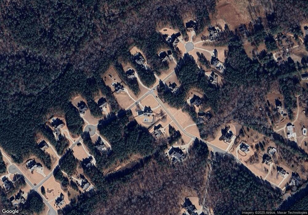
Map
Nearby Homes
- 1299 McLeod Estates Dr
- 1650 & 1620 Locklin Cemetery Rd
- 1650 Locklin Cemetery Rd
- 1691 Snows Mill Rd
- 0 Monroe Hwy Unit 1025333
- 1621 Westland Ct
- 1621 Westland Ct Unit 2014 B
- 1547 Westland Ct
- 1383 Westland Ct
- 1383 Westland Ct Unit 17D
- 1383 Westland Ct
- 1111 Brookside Terrace Unit 2011D
- 1111 Brookside Terrace
- 1111 Brookside Terrace
- 6441 Hog Mountain Rd
- 1462 Brookstone Crossing
- 1311 Riverhill Dr
- 1301 Riverhill Dr
- 2499 Rivers Edge Dr
- 0 Rivers Edge Dr Unit 8397890
- 0 Rivers Edge Dr Unit 8322470
- 2572 Rivers Edge Dr
- 0 Edge Water Dr Unit 8477256
- 1744 Edge Water Dr
- 1441 Edge Water Dr
- 1946 Edge Water Dr
- 1544 Edge Water Dr
- 2247 Rivers Edge Dr
- 2288 Rivers Edge Dr
- 2154 Edge Water Dr
- 1340 Edge Water Dr
- 1165 Edge Water Dr
- 2489 Edge Water Dr
- 1990 Rivers Edge Dr
- 2364 Edge Water Dr
- 1116 Edge Water Dr
- 2001 Rivers Edge Dr
- 2691 Edge Water Dr