2769 Smoketown Rd Lewisburg, PA 17837
East Buffalo Township NeighborhoodEstimated Value: $291,000 - $342,000
5
Beds
2
Baths
1,428
Sq Ft
$219/Sq Ft
Est. Value
About This Home
This home is located at 2769 Smoketown Rd, Lewisburg, PA 17837 and is currently estimated at $312,654, approximately $218 per square foot. 2769 Smoketown Rd is a home located in Union County with nearby schools including Kelly Elementary School, Linntown Elementary School, and Donald H. Eichhorn Middle School.
Ownership History
Date
Name
Owned For
Owner Type
Purchase Details
Closed on
Jun 10, 2014
Sold by
Shellenberger Aaron M and Shellenberger Megan M
Bought by
Gorgy Robert A and Gorby Molly E
Current Estimated Value
Home Financials for this Owner
Home Financials are based on the most recent Mortgage that was taken out on this home.
Original Mortgage
$187,625
Outstanding Balance
$142,281
Interest Rate
4.12%
Mortgage Type
New Conventional
Estimated Equity
$170,373
Purchase Details
Closed on
Jun 21, 2010
Sold by
Diehl David E and Diehl Vicki L
Bought by
Shellenberger Aaron M and Shellenberger Megan M
Home Financials for this Owner
Home Financials are based on the most recent Mortgage that was taken out on this home.
Original Mortgage
$183,767
Interest Rate
4.82%
Mortgage Type
VA
Create a Home Valuation Report for This Property
The Home Valuation Report is an in-depth analysis detailing your home's value as well as a comparison with similar homes in the area
Home Values in the Area
Average Home Value in this Area
Purchase History
| Date | Buyer | Sale Price | Title Company |
|---|---|---|---|
| Gorgy Robert A | $197,500 | None Available | |
| Shellenberger Aaron M | $179,900 | None Available |
Source: Public Records
Mortgage History
| Date | Status | Borrower | Loan Amount |
|---|---|---|---|
| Open | Gorgy Robert A | $187,625 | |
| Previous Owner | Shellenberger Aaron M | $183,767 |
Source: Public Records
Tax History Compared to Growth
Tax History
| Year | Tax Paid | Tax Assessment Tax Assessment Total Assessment is a certain percentage of the fair market value that is determined by local assessors to be the total taxable value of land and additions on the property. | Land | Improvement |
|---|---|---|---|---|
| 2025 | $3,654 | $124,500 | $30,800 | $93,700 |
| 2024 | $3,556 | $124,500 | $30,800 | $93,700 |
| 2023 | $3,449 | $124,500 | $30,800 | $93,700 |
| 2022 | $3,442 | $124,500 | $30,800 | $93,700 |
| 2021 | $3,457 | $124,500 | $30,800 | $93,700 |
| 2020 | $3,460 | $124,500 | $30,800 | $93,700 |
| 2019 | $34,860 | $124,500 | $30,800 | $93,700 |
| 2018 | $3,439 | $124,500 | $30,800 | $93,700 |
| 2017 | $3,439 | $124,500 | $30,800 | $93,700 |
| 2016 | $3,308 | $124,500 | $30,800 | $93,700 |
| 2015 | -- | $124,500 | $30,800 | $93,700 |
| 2014 | -- | $124,500 | $30,800 | $93,700 |
Source: Public Records
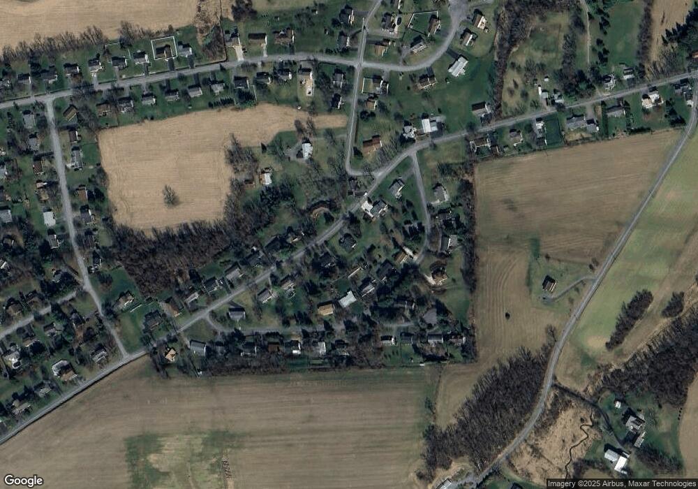
Map
Nearby Homes
- LOT 3 Smoketown Rd
- 2935 Smoketown Rd
- 15 Primavera Cir
- 137 Valley View Rd
- 85 Poplar Rd
- 332 Fairview Dr
- 300 Sunnyside Dr
- 70 Lowe St
- 520 S 22nd St
- 0 Bull Run Crossing
- 2111 Madison Ave
- 96 Dogwood Ln
- 407 S 20th St
- 1500 Smoketown Rd
- 211 James Rd
- 14 Edward Cir
- 183 Pheasant Ridge Rd
- 55 Bel Air Dr
- 0 Reitz Blvd
- 351 Pheasant Ridge Rd
- 2791 Smoketown Rd
- 118 Hilltop Rd
- 138 Hilltop Rd
- LOT 54 Smoketown Rd
- 160 Hilltop Rd
- 100 Hilltop Rd
- 2737 Smoketown Rd
- 2772 Smoketown Rd
- 2823 Smoketown Rd
- 2800 Smoketown Rd
- 2732 Smoketown Rd
- 182 Hilltop Rd
- 62 Hilltop Rd
- 2816 Smoketown Rd
- 2705 Smoketown Rd
- 129 Hilltop Rd
- 2836 Smoketown Rd
- 2845 Smoketown Rd
- 10 Valley Circle Dr
- 95 Hilltop Rd