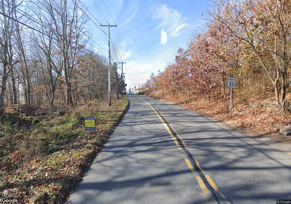
276C Rock St Hughestown, PA 18640
Estimated Value: $245,000 - $322,270
--
Bed
--
Bath
--
Sq Ft
1.6
Acres
About This Home
This home is located at 276C Rock St, Hughestown, PA 18640 and is currently estimated at $294,818. 276C Rock St is a home located in Luzerne County with nearby schools including Wyoming Area Secondary Center.
Ownership History
Date
Name
Owned For
Owner Type
Purchase Details
Closed on
Oct 30, 2019
Sold by
Gunshore Laurie
Bought by
Mchale John Anthony
Current Estimated Value
Home Financials for this Owner
Home Financials are based on the most recent Mortgage that was taken out on this home.
Original Mortgage
$200,000
Outstanding Balance
$156,018
Interest Rate
3.7%
Mortgage Type
New Conventional
Estimated Equity
$138,800
Create a Home Valuation Report for This Property
The Home Valuation Report is an in-depth analysis detailing your home's value as well as a comparison with similar homes in the area
Home Values in the Area
Average Home Value in this Area
Purchase History
| Date | Buyer | Sale Price | Title Company |
|---|---|---|---|
| Mchale John Anthony | $320,000 | Bilbow Abstract Llc |
Source: Public Records
Mortgage History
| Date | Status | Borrower | Loan Amount |
|---|---|---|---|
| Open | Mchale John Anthony | $200,000 |
Source: Public Records
Tax History Compared to Growth
Tax History
| Year | Tax Paid | Tax Assessment Tax Assessment Total Assessment is a certain percentage of the fair market value that is determined by local assessors to be the total taxable value of land and additions on the property. | Land | Improvement |
|---|---|---|---|---|
| 2025 | $5,394 | $185,900 | $40,300 | $145,600 |
| 2024 | $5,156 | $185,900 | $40,300 | $145,600 |
| 2023 | $4,811 | $185,900 | $40,300 | $145,600 |
| 2022 | $4,777 | $185,900 | $40,300 | $145,600 |
| 2021 | $4,710 | $185,900 | $40,300 | $145,600 |
| 2020 | $4,599 | $185,900 | $40,300 | $145,600 |
| 2019 | $4,468 | $185,900 | $40,300 | $145,600 |
| 2018 | $4,317 | $185,900 | $40,300 | $145,600 |
| 2017 | $4,220 | $185,900 | $40,300 | $145,600 |
| 2016 | -- | $185,900 | $40,300 | $145,600 |
| 2015 | -- | $40,300 | $40,300 | $0 |
| 2014 | -- | $183,000 | $40,300 | $142,700 |
Source: Public Records
Map
Nearby Homes
- 278 Cider Run Rd
- 0 Lockville Rd Church Rd Unit 25-1114
- 456 Village Rd
- 9 Circle Dr
- 314 Terrace Ave
- 522 Sutton Creek Rd
- 3061 Main St
- 675 Apple Tree Rd
- 3018 Main St
- 750 Slocum Ave
- 2356 Newton Ransom Blvd
- 2352 Newton Ransom Blvd
- 507 Butternut Ln
- 1212 Keelersburg Rd
- 765 Demunds Rd
- 22 Creamery Rd
- 1523 W 8th St
- 633 Campground Rd
- 745 Demunds Rd
- 2619 Sullivan Trail
- 274D Rock St
- 274A Rock St
- 275A Rock St
- 274E Rock St
- 273D Rock St
- 274 Po Box
- 274 Po Box
- 162 Sweitzer Rd
- 696 Culver Hill Rd
- 691 Culver Hill Rd
- 30 Ninotti Ln
- 112 Sweitzer Rd
- 19 Crystal Creek Rd
- 867 Marcy Rd
- 155 Sweitzer Rd
- 690 Culver Hill Rd
- 111 Crystal Creek Rd
- 141 Crystal Creek Rd
- 679 Culver Hill Rd
- 143 Crystal Creek Rd
