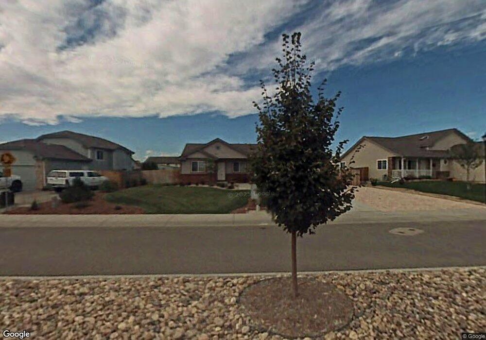
277 Audubon Blvd Severance, CO 80550
Severance AreaEstimated Value: $416,000 - $440,000
About This Home
This home is located at 277 Audubon Blvd, Severance, CO 80550 and is currently estimated at $428,547, approximately $393 per square foot. 277 Audubon Blvd is a home located in Weld County with nearby schools including Range View Elementary School, Severance Middle School, and Windsor High School.
Ownership History
We collect this data history from publicly available records. To have your information removed, we recommend requesting removal directly through your county’s website.
Purchase Details
Home Financials for this Owner
Home Financials are based on the most recent Mortgage that was taken out on this home.Home Values in the Area
Average Home Value in this Area
Purchase History
We collect this data history from publicly available records. To have your information removed, we recommend requesting removal directly through your county’s website.
| Date | Buyer | Sale Price | Title Company |
|---|---|---|---|
| $41,000 | Land Title Guarantee Company |
Mortgage History
We collect this data history from publicly available records. To have your information removed, we recommend requesting removal directly through your county’s website.
| Date | Status | Borrower | Loan Amount |
|---|---|---|---|
| Closed | -- | ||
| Open | $179,000 | ||
| Closed | $27,600 | ||
| Closed | $154,400 | ||
| Closed | $152,000 | ||
| Closed | $28,500 | ||
| Closed | $151,000 |
Tax History
We collect this data history from publicly available records. To have your information removed, we recommend requesting removal directly through your county’s website.
| Year | Tax Paid | Tax Assessment Tax Assessment Total Assessment is a certain percentage of the fair market value that is determined by local assessors to be the total taxable value of land and additions on the property. | Land | Improvement |
|---|---|---|---|---|
| 2026 | $2,419 | $23,440 | $5,260 | $18,180 |
| 2025 | $2,274 | $23,950 | $5,380 | $18,570 |
| 2024 | $2,274 | $23,950 | $5,380 | $18,570 |
| 2023 | $2,089 | $27,540 | $5,890 | $21,650 |
| 2022 | $2,015 | $20,550 | $4,660 | $15,890 |
| 2021 | $1,880 | $21,140 | $4,790 | $16,350 |
| 2020 | $1,761 | $20,180 | $4,290 | $15,890 |
| 2019 | $1,745 | $20,180 | $4,290 | $15,890 |
| 2018 | $1,574 | $17,230 | $2,810 | $14,420 |
| 2017 | $1,665 | $17,230 | $2,810 | $14,420 |
| 2016 | $1,404 | $14,670 | $1,750 | $12,920 |
| 2015 | $1,307 | $14,670 | $1,750 | $12,920 |
| 2014 | $1,270 | $13,380 | $2,070 | $11,310 |
Map
- 813 Audubon Blvd
- 822 Finch Dr
- 106 Summit View Rd
- 616 Keystone Dr
- 95 Pike Ln
- 703 Cavern St
- 520 Lowland St
- 92 Summit View Rd
- 938 Scotch Pine Dr
- 84 Pike Ln
- 987 Axis Dr
- 933 Ponderosa Dr
- 1106 Ibex Dr
- 259 Castle Dr
- 323 Torreys Dr
- 331 Torreys Dr
- 404 Prairie Clover Way
- 615 Foxtail Way
- 438 Ptarmigan St
- 1019 Mount Oxford Ave
- 279 Audubon Blvd
- 281 Audubon Blvd
- 802 Cameron Dr
- 275 Audubon Blvd
- 800 Cameron Dr
- 804 Cameron Dr
- 278 Audubon Blvd
- 707 Summit View Rd
- 280 Audubon Blvd
- 806 Cameron Dr
- 801 Scotch Pine Dr
- 273 Audubon Blvd
- 803 Scotch Pine Dr
- 805 Scotch Pine Dr
- 705 Summit View Rd
- 630 Scotch Pine Dr
- 633 Scotch Pine Dr
- 810 Scotch Pine Dr
- 807 Scotch Pine Dr
- 271 Audubon Blvd
Ask me questions while you tour the home.