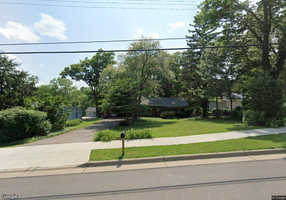
277 Compton Rd Cincinnati, OH 45215
Estimated Value: $351,000 - $615,000
3
Beds
2
Baths
1,619
Sq Ft
$269/Sq Ft
Est. Value
About This Home
This home is located at 277 Compton Rd, Cincinnati, OH 45215 and is currently estimated at $435,169, approximately $268 per square foot. 277 Compton Rd is a home located in Hamilton County with nearby schools including Wyoming High School.
Ownership History
Date
Name
Owned For
Owner Type
Purchase Details
Closed on
Jan 3, 2014
Sold by
Vane Leland M and Acheson Carolyn M
Bought by
Vane Acheson Family Trust
Current Estimated Value
Purchase Details
Closed on
Aug 24, 1994
Sold by
Madalon John F and Madalon Dana M
Bought by
Vane Leland M and Acheson Carolyn M
Home Financials for this Owner
Home Financials are based on the most recent Mortgage that was taken out on this home.
Original Mortgage
$115,900
Interest Rate
8.6%
Create a Home Valuation Report for This Property
The Home Valuation Report is an in-depth analysis detailing your home's value as well as a comparison with similar homes in the area
Home Values in the Area
Average Home Value in this Area
Purchase History
| Date | Buyer | Sale Price | Title Company |
|---|---|---|---|
| Vane Acheson Family Trust | -- | Attorney | |
| Vane Leland M | -- | -- |
Source: Public Records
Mortgage History
| Date | Status | Borrower | Loan Amount |
|---|---|---|---|
| Closed | Vane Leland M | $115,900 |
Source: Public Records
Tax History
| Year | Tax Paid | Tax Assessment Tax Assessment Total Assessment is a certain percentage of the fair market value that is determined by local assessors to be the total taxable value of land and additions on the property. | Land | Improvement |
|---|---|---|---|---|
| 2025 | $7,030 | $115,507 | $47,992 | $67,515 |
| 2023 | $6,328 | $115,507 | $47,992 | $67,515 |
| 2022 | $6,761 | $99,786 | $50,607 | $49,179 |
| 2021 | $6,589 | $99,786 | $50,607 | $49,179 |
| 2020 | $6,738 | $99,786 | $50,607 | $49,179 |
| 2019 | $6,285 | $86,024 | $43,628 | $42,396 |
| 2018 | $6,288 | $86,024 | $43,628 | $42,396 |
| 2017 | $6,022 | $86,024 | $43,628 | $42,396 |
| 2016 | $5,436 | $89,723 | $42,483 | $47,240 |
| 2015 | $5,499 | $89,723 | $42,483 | $47,240 |
| 2014 | $5,513 | $89,723 | $42,483 | $47,240 |
| 2013 | $5,333 | $83,077 | $39,337 | $43,740 |
Source: Public Records
Map
Nearby Homes
- 350 Pleasant Hill Dr
- 204 Brocdorf Dr
- 377 Compton Rd
- 320 Reily Rd
- 513 Chisholm Trail
- 8415 Mayfair St
- 206 Hilltop Ln
- 399 W Galbraith Rd
- 1012 Mary Ln
- 324 Beech Ave
- 26 W Mills Ave
- 429 Mccreary Ct
- 177 Burns Ave
- 8318 Marley St
- 8674 Hollyhock Dr
- 311 Ritchie Ave
- 9441 Wyoming Point Place
- 357 Meadowcrest Rd
- 29 Forest Ave
- 332 Lux Ave
- 275 Compton Rd
- 289 Compton Rd
- 286 Compton Rd
- 280 Compton Rd
- 283 Compton Rd
- 272 Compton Rd
- 290 Compton Rd
- 265 Compton Rd
- 303 Compton Rd
- 285 Compton Rd
- 339 Ardon Ln
- 261 Compton Rd
- 313 Compton Rd
- 343 Ardon Ln
- 306 Compton Rd
- 335 Ardon Ln
- 297 Mt Pleasant Ave
- 297 Mount Pleasant Ave
- 259 Compton Rd
- 266 Compton Ridge Dr
Your Personal Tour Guide
Ask me questions while you tour the home.