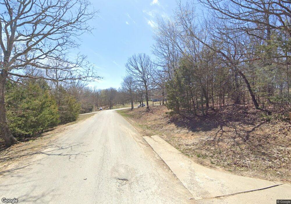
277 N Canvas Rd Fayetteville, AR 72701
Hyland Park NeighborhoodEstimated Value: $859,000 - $1,119,000
--
Bed
4
Baths
3,878
Sq Ft
$262/Sq Ft
Est. Value
About This Home
This home is located at 277 N Canvas Rd, Fayetteville, AR 72701 and is currently estimated at $1,014,656, approximately $261 per square foot. 277 N Canvas Rd is a home located in Washington County with nearby schools including Happy Hollow Elementary School, McNair Middle School, and Ramay Junior High School.
Ownership History
Date
Name
Owned For
Owner Type
Purchase Details
Closed on
Oct 8, 2021
Sold by
Jones Kenneth and Workman Ladena
Bought by
Homestead Inc
Current Estimated Value
Home Financials for this Owner
Home Financials are based on the most recent Mortgage that was taken out on this home.
Original Mortgage
$250,000
Outstanding Balance
$221,273
Interest Rate
2.8%
Mortgage Type
Credit Line Revolving
Estimated Equity
$793,384
Purchase Details
Closed on
Oct 13, 2011
Sold by
Nelms Dennis
Bought by
Nelms Carrie
Purchase Details
Closed on
Aug 22, 2005
Sold by
Anderson Gregory R and Anderson Laura
Bought by
Nelms Dennis and Nelms Carrie
Purchase Details
Closed on
Mar 16, 1995
Bought by
Anderson Gregory G and Anderson Laura K
Purchase Details
Closed on
Jan 1, 1985
Bought by
Lindsey, James E Family Trust
Create a Home Valuation Report for This Property
The Home Valuation Report is an in-depth analysis detailing your home's value as well as a comparison with similar homes in the area
Home Values in the Area
Average Home Value in this Area
Purchase History
| Date | Buyer | Sale Price | Title Company |
|---|---|---|---|
| Homestead Inc | $105,000 | Realty Title & Closing Svcs | |
| Nelms Carrie | -- | Waco Title Company | |
| Nelms Dennis | $635,000 | -- | |
| Anderson Gregory G | $65,000 | -- | |
| Lindsey, J E Family Ltd Prtnshp | -- | -- | |
| Lindsey, James E Family Trust | -- | -- |
Source: Public Records
Mortgage History
| Date | Status | Borrower | Loan Amount |
|---|---|---|---|
| Open | Homestead Inc | $250,000 |
Source: Public Records
Tax History Compared to Growth
Tax History
| Year | Tax Paid | Tax Assessment Tax Assessment Total Assessment is a certain percentage of the fair market value that is determined by local assessors to be the total taxable value of land and additions on the property. | Land | Improvement |
|---|---|---|---|---|
| 2024 | $6,294 | $186,200 | $52,500 | $133,700 |
| 2023 | $6,168 | $186,200 | $52,500 | $133,700 |
| 2022 | $5,984 | $125,400 | $52,000 | $73,400 |
| 2021 | $5,711 | $125,400 | $52,000 | $73,400 |
| 2020 | $5,418 | $125,400 | $52,000 | $73,400 |
| 2019 | $5,145 | $104,690 | $26,000 | $78,690 |
| 2018 | $5,170 | $104,690 | $26,000 | $78,690 |
| 2017 | $5,057 | $104,690 | $26,000 | $78,690 |
| 2016 | $5,117 | $104,690 | $26,000 | $78,690 |
| 2015 | $5,117 | $104,690 | $26,000 | $78,690 |
| 2014 | $5,308 | $108,380 | $18,200 | $90,180 |
Source: Public Records
Map
Nearby Homes
- 4201 E Canvas Rd
- 4920 E Wyman Rd
- 4060 E Huntsville Rd
- 936 S Liberty Dr
- 981 S Liberty Dr
- 1066 E Huntsville Rd
- 2178 & 2220 E Huntsville Rd
- 1078 E Huntsville Rd
- 5339 E Wyman Rd
- 3775 E Captain Way
- 677 Cliffside Dr
- 3061 E Stone Mountain Dr
- 1321 S Saint Andrews Cir
- 679 N Cliffside Dr
- 3321 E Cadberry Terrace
- 687 N Cliffside Dr
- 1625 S Laurel Landing
- 1500 N Canterbury Rd
- 1353 S Blue Willow Ave
- 1653 S Laurel Landing
- 273 N Canvas Rd
- 4185 E Brushstroke Ln
- 4380 E Wyman Rd
- 4184 E Brushstroke Ln
- 4201 & 4199 Canvas Rd
- 4185 E Canvas Rd
- 4139 E Canvas Rd
- 4109 E Brushstroke Ln
- 4106 E Brushstroke Ln
- 4423 E Wyman Rd
- 189 N Canvas Rd
- 0 Canvas Mountain Unit 675562
- 0 Canvas Mountain Unit 700980
- 4140 E Wyman Rd
- 4125 E Canvas Rd
- 350 Canvas Rd
- 4190 E Canvas Rd
- 4229 E Wyman Rd
- 4251 E Wyman Rd
- 4155 E Wyman Rd
