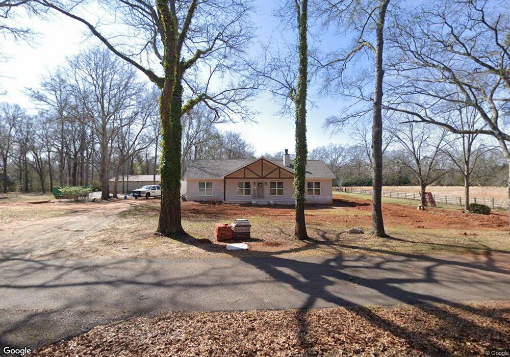
277 N Main St Cuthbert, GA 39840
Estimated Value: $66,433 - $208,000
3
Beds
2
Baths
2,176
Sq Ft
$65/Sq Ft
Est. Value
About This Home
This home is located at 277 N Main St, Cuthbert, GA 39840 and is currently estimated at $141,478, approximately $65 per square foot. 277 N Main St is a home with nearby schools including Randolph County Elementary School, Randolph Clay Middle School, and Randolph Clay High School.
Ownership History
Date
Name
Owned For
Owner Type
Purchase Details
Closed on
Oct 7, 2005
Sold by
Chapman Russell S
Bought by
Pittman M Peavy and Pittman Karen B
Current Estimated Value
Purchase Details
Closed on
Aug 22, 2003
Sold by
Chapman Russell S
Bought by
Chapman Russell S and Chapman Hannon P
Purchase Details
Closed on
May 23, 2002
Sold by
Pittman Joe
Bought by
Chapman Russell S
Create a Home Valuation Report for This Property
The Home Valuation Report is an in-depth analysis detailing your home's value as well as a comparison with similar homes in the area
Purchase History
| Date | Buyer | Sale Price | Title Company |
|---|---|---|---|
| Pittman M Peavy | $64,304 | -- | |
| Pittman M Peavy | $64,304 | -- | |
| Chapman Russell S | -- | -- | |
| Chapman Russell S | -- | -- | |
| Chapman Russell S | -- | -- | |
| Chapman Russell S | -- | -- |
Source: Public Records
Tax History
| Year | Tax Paid | Tax Assessment Tax Assessment Total Assessment is a certain percentage of the fair market value that is determined by local assessors to be the total taxable value of land and additions on the property. | Land | Improvement |
|---|---|---|---|---|
| 2024 | $334 | $4,880 | $1,480 | $3,400 |
| 2023 | $173 | $4,880 | $1,480 | $3,400 |
| 2022 | $443 | $14,519 | $1,480 | $13,039 |
| 2021 | $491 | $13,653 | $1,346 | $12,307 |
| 2020 | $475 | $12,860 | $1,346 | $11,514 |
| 2019 | $837 | $22,723 | $1,346 | $21,377 |
| 2018 | $802 | $22,723 | $1,346 | $21,377 |
| 2017 | $821 | $23,154 | $1,346 | $21,808 |
| 2016 | $782 | $21,988 | $1,346 | $20,641 |
| 2015 | -- | $21,560 | $1,346 | $20,214 |
| 2014 | -- | $25,926 | $1,346 | $24,580 |
| 2013 | -- | $25,926 | $1,346 | $24,579 |
Source: Public Records
Map
Nearby Homes
- 0 Benevolence Hwy Unit 26314983
- 886 Mound Rd
- 109 Cattle Gap Rd
- 0 Cattle Gap Rd
- XX2 Us-27
- XX1 US 27
- Old Spring Rd
- Mattox Rd
- 42 W Harris St
- 365 Highland Ave
- 349 Highland Ave
- Pierce Rd
- 0 District Line Rd Unit 10518137
- 140 College St
- 2055 Payne Pond Rd
- Sam Bentley Rd
- 396 Hood St
- 298 Nelson Coffin Dr
- 0 County Line Rd
- 48 Cheney St
- 211 N Main St
- 203 N Main St
- 465 Gibson St
- 267 Gibson St
- 109 N Main St
- 315 Gibson St
- 39 Depot St
- 362 Gibson St
- 62 Church St
- 2491 Benevolence Hwy
- 11 Wards Mill Rd
- 462 Gibson St
- 2395 Benevolence Hwy
- 16 Wards Mill Rd
- 62 Knight St
- 2402 Benevolence Hwy
- 4 Knight St
- 30 Wards Mill Rd
- 114 Knight St
- 90 Knight St
Your Personal Tour Guide
Ask me questions while you tour the home.