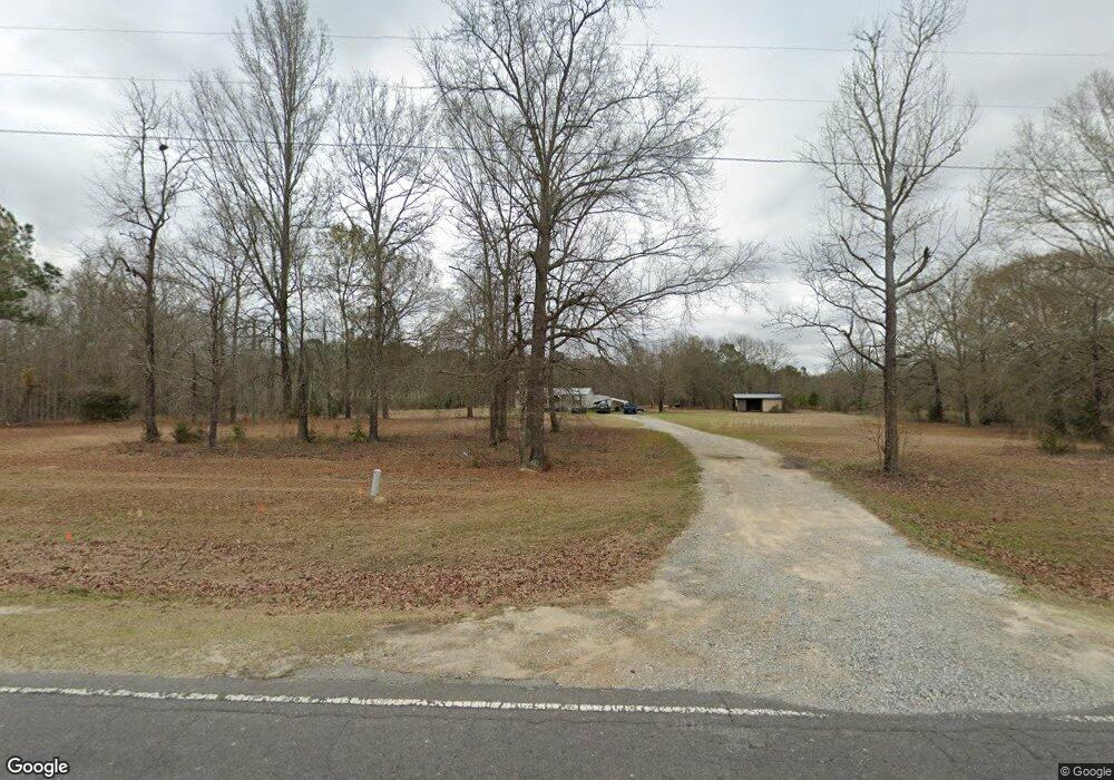
277 Roddy Rd Cochran, GA 31014
Estimated Value: $65,326 - $117,000
--
Bed
--
Bath
1,152
Sq Ft
$81/Sq Ft
Est. Value
About This Home
This home is located at 277 Roddy Rd, Cochran, GA 31014 and is currently estimated at $93,775, approximately $81 per square foot. 277 Roddy Rd is a home located in Bleckley County with nearby schools including Bleckley County Primary School, Bleckley County Elementary School, and Bleckley Middle School.
Ownership History
Date
Name
Owned For
Owner Type
Purchase Details
Closed on
Sep 21, 2020
Sold by
Cannon Rene W
Bought by
Mullis Ronnie
Current Estimated Value
Purchase Details
Closed on
Jul 9, 2020
Sold by
Cannon Rene W
Bought by
Cannon Rental Properties Llc
Purchase Details
Closed on
Nov 15, 2017
Sold by
Cannon Rene W
Bought by
Wallace Tiffany Amy and Wallace Kristopher
Home Financials for this Owner
Home Financials are based on the most recent Mortgage that was taken out on this home.
Original Mortgage
$128,357
Interest Rate
3.88%
Mortgage Type
New Conventional
Purchase Details
Closed on
Jan 31, 2007
Sold by
Thrower Jon K
Bought by
Cannon Ranny L and Cannon Rene W
Purchase Details
Closed on
May 24, 2000
Sold by
Old South Land & Tim
Bought by
Thrower Jon K
Create a Home Valuation Report for This Property
The Home Valuation Report is an in-depth analysis detailing your home's value as well as a comparison with similar homes in the area
Home Values in the Area
Average Home Value in this Area
Purchase History
| Date | Buyer | Sale Price | Title Company |
|---|---|---|---|
| Mullis Ronnie | -- | -- | |
| Cannon Rental Properties Llc | -- | -- | |
| Wallace Tiffany Amy | -- | -- | |
| Cannon Ranny L | $52,494 | -- | |
| Thrower Jon K | $30,100 | -- |
Source: Public Records
Mortgage History
| Date | Status | Borrower | Loan Amount |
|---|---|---|---|
| Previous Owner | Wallace Tiffany Amy | $128,357 |
Source: Public Records
Tax History Compared to Growth
Tax History
| Year | Tax Paid | Tax Assessment Tax Assessment Total Assessment is a certain percentage of the fair market value that is determined by local assessors to be the total taxable value of land and additions on the property. | Land | Improvement |
|---|---|---|---|---|
| 2024 | $335 | $12,524 | $10,880 | $1,644 |
| 2023 | $335 | $12,524 | $10,880 | $1,644 |
| 2022 | $345 | $12,688 | $10,880 | $1,808 |
| 2021 | $307 | $10,528 | $8,720 | $1,808 |
| 2020 | $392 | $13,448 | $11,640 | $1,808 |
| 2019 | $527 | $18,053 | $15,975 | $2,078 |
| 2018 | $531 | $18,053 | $15,975 | $2,078 |
| 2017 | $597 | $20,300 | $18,222 | $2,078 |
| 2016 | $597 | $20,300 | $18,222 | $2,078 |
| 2015 | -- | $20,300 | $18,222 | $2,078 |
| 2014 | -- | $20,300 | $18,222 | $2,078 |
| 2013 | -- | $0 | $0 | $0 |
Source: Public Records
Map
Nearby Homes
- 205 Smith Sapp Rd
- 0 Cheek Rd
- 191 Cheek Rd
- 0 Rock Hill Rd
- 176 Pineland Estates Rd
- 166 Pebble Hills Rd
- 319 Country Club Rd
- 178 Country Club Cir
- 187 Osprey Rd
- 0 Jones Rd
- 238 Wood Oak Cir
- 288 Frank Cook Rd
- 0 Jordan Place
- 0 Wood Oak Cir Unit 233873
- 0 Wood Oak Cir Unit 9278951
- LOT 46 Woodland Trail Rd
- LOT 47 Woodland Trail Rd
- LOT 24 Woodland Trail Rd
- 0 Woodland Trail Rd Unit 12994880
- 150 Wood Oak Cir
- 299 Roddy Rd
- 253 Roddy Rd
- 283 Roddy Rd
- 276 Roddy Rd
- 1010 Frank Cook Rd
- 3856 Roddy Hwy
- 161 Roddy Rd
- 965 Frank Cook Rd
- 3810 Roddy Hwy
- 1042 Frank Cook Rd
- 377 Floyd Nesmith Rd
- 3760 Roddy Hwy
- 343 Floyd Nesmith Rd
- 162 Roddy Rd
- 315 Floyd Nesmith Rd
- 923 Frank Cook Rd
- 156 Conrad Sanders Rd
- 331 Floyd Nesmith Rd
- 1067 Frank Cook Rd
- 372 Floyd Nesmith Rd