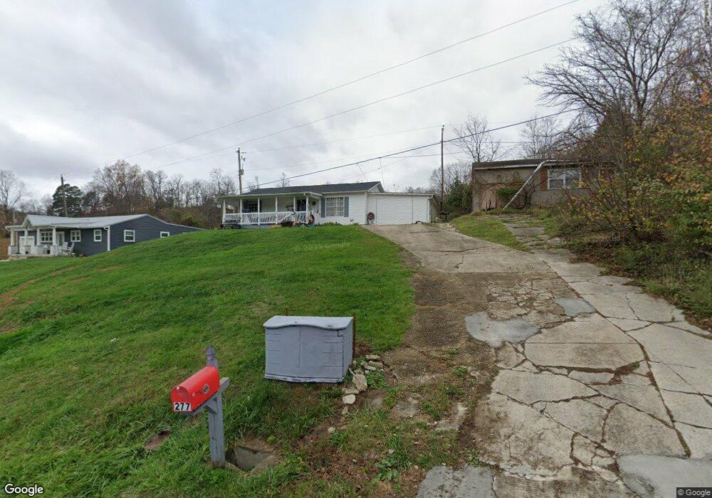
277 Township Road 253 E Ironton, OH 45638
Estimated Value: $146,200 - $194,000
3
Beds
2
Baths
1,256
Sq Ft
$131/Sq Ft
Est. Value
About This Home
This home is located at 277 Township Road 253 E, Ironton, OH 45638 and is currently estimated at $165,050, approximately $131 per square foot. 277 Township Road 253 E is a home located in Lawrence County with nearby schools including Dawson-Bryant Elementary School, Dawson-Bryant Middle School, and Dawson-Bryant High School.
Ownership History
Date
Name
Owned For
Owner Type
Purchase Details
Closed on
Mar 16, 2016
Sold by
Meadows Jennifer
Bought by
Meadows Ronald R
Current Estimated Value
Purchase Details
Closed on
May 14, 2003
Sold by
Vansant Jennifer Ronal
Bought by
Meadows Ronald R and Meadows Jenn
Purchase Details
Closed on
May 11, 1999
Sold by
Bills John William
Bought by
Vansant Jennifer Ronal
Purchase Details
Closed on
Jul 14, 1994
Sold by
Webb Juanita Jane
Bought by
Bills John William
Create a Home Valuation Report for This Property
The Home Valuation Report is an in-depth analysis detailing your home's value as well as a comparison with similar homes in the area
Home Values in the Area
Average Home Value in this Area
Purchase History
| Date | Buyer | Sale Price | Title Company |
|---|---|---|---|
| Meadows Ronald R | -- | None Available | |
| Meadows Ronald R | -- | -- | |
| Vansant Jennifer Ronal | $35,000 | -- | |
| Bills John William | $3,800 | -- |
Source: Public Records
Tax History Compared to Growth
Tax History
| Year | Tax Paid | Tax Assessment Tax Assessment Total Assessment is a certain percentage of the fair market value that is determined by local assessors to be the total taxable value of land and additions on the property. | Land | Improvement |
|---|---|---|---|---|
| 2024 | -- | $40,140 | $2,410 | $37,730 |
| 2023 | $1,133 | $40,140 | $2,410 | $37,730 |
| 2022 | $1,130 | $40,140 | $2,410 | $37,730 |
| 2021 | $1,046 | $37,110 | $1,920 | $35,190 |
| 2020 | $1,062 | $37,110 | $1,920 | $35,190 |
| 2019 | $1,057 | $37,110 | $1,920 | $35,190 |
| 2018 | $1,069 | $37,110 | $1,920 | $35,190 |
| 2017 | $1,067 | $37,110 | $1,920 | $35,190 |
| 2016 | $684 | $24,920 | $1,920 | $23,000 |
| 2015 | $546 | $18,260 | $1,930 | $16,330 |
| 2014 | $539 | $18,260 | $1,930 | $16,330 |
| 2013 | $538 | $18,260 | $1,930 | $16,330 |
Source: Public Records
Map
Nearby Homes
- 571 County Road 52
- 156 Township Road 181
- 2088 State Route 243
- 572 Township Road 145
- 572 Township Road 145 Unit KO-4
- 1122 Township Road 266
- 1122 Township Road 266
- 342 Township Road 296
- 103 Carrico Dr
- 119 Remy St
- 2480 County Road 181
- 859 County Road 53
- 885 County Road 53
- 0 County Road 181 Unit 24215136
- 0 County Road 181 Unit 11540303
- 135 Lane St
- 6881 State Route 243
- 309 High St
- 309 High St Unit LAO-5
- 519 Lane St
- 287 Township Road 253 E
- 301 Township Road 253 E
- 317 Township Road 253 E
- 233 Township Road 253 E
- 233 Township Road 253 E
- 327 Township Road 253 E
- 339 Township Road 253 E
- 213 Township Road 253 E
- 353 Township Road 253 E
- 201 Township Road 253 E
- 365 Township Road 253 W
- 179 Township Road 253 E
- 377 Township Road 253 E
- 157 Township Road 253 E
- 182 Township Road 253 E
- 386 Township Road 253 E
- 411 Township Road 253 E
- 330 Township Road 372
- 156 Township Road 253 E
- 141 Township Road 253 E