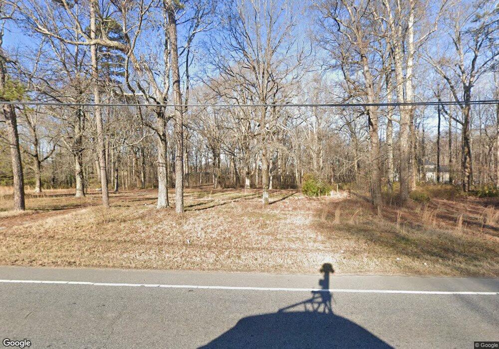
2770 Nc Highway 66 S Kernersville, NC 27284
Yorktown NeighborhoodEstimated Value: $257,352 - $309,000
2
Beds
1
Bath
1,268
Sq Ft
$230/Sq Ft
Est. Value
About This Home
This home is located at 2770 Nc Highway 66 S, Kernersville, NC 27284 and is currently estimated at $291,838, approximately $230 per square foot. 2770 Nc Highway 66 S is a home with nearby schools including Union Cross Elementary School, Southeast Middle School, and R.B. Glenn High School.
Ownership History
Date
Name
Owned For
Owner Type
Purchase Details
Closed on
Oct 11, 2016
Sold by
Edwards Ray W and Edwards Sallie A
Bought by
Ray And Sallie Edwards Investments Llc
Current Estimated Value
Purchase Details
Closed on
Oct 29, 2001
Sold by
Idol Eva C and Idol James W
Bought by
Ray & Sallie Edwards Real Estate Ltd Par
Create a Home Valuation Report for This Property
The Home Valuation Report is an in-depth analysis detailing your home's value as well as a comparison with similar homes in the area
Home Values in the Area
Average Home Value in this Area
Purchase History
| Date | Buyer | Sale Price | Title Company |
|---|---|---|---|
| Ray And Sallie Edwards Investments Llc | -- | None Available | |
| Edwards Ray W | -- | None Available | |
| Ray & Sallie Edwards Real Estate Ltd Par | $130,000 | -- |
Source: Public Records
Tax History Compared to Growth
Tax History
| Year | Tax Paid | Tax Assessment Tax Assessment Total Assessment is a certain percentage of the fair market value that is determined by local assessors to be the total taxable value of land and additions on the property. | Land | Improvement |
|---|---|---|---|---|
| 2025 | $1,157 | $116,300 | $116,300 | -- |
| 2024 | $1,157 | $139,100 | $74,900 | $64,200 |
| 2023 | $1,157 | $139,100 | $74,900 | $64,200 |
| 2022 | $1,157 | $139,100 | $74,900 | $64,200 |
| 2021 | $1,157 | $166,800 | $102,600 | $64,200 |
| 2020 | $1,184 | $131,400 | $74,700 | $56,700 |
| 2019 | $1,197 | $131,400 | $74,700 | $56,700 |
| 2018 | $1,126 | $131,400 | $74,700 | $56,700 |
| 2016 | $1,048 | $124,563 | $83,260 | $41,303 |
| 2015 | $1,048 | $124,563 | $83,260 | $41,303 |
| 2014 | $1,030 | $124,563 | $83,260 | $41,303 |
Source: Public Records
Map
Nearby Homes
- 737 Joyce Cir
- 4038 Monteray Cir
- 2527 Nc Highway 66 S
- 3910 Angel Hill Ln
- 2477 Pine Meadow Dr
- 2410 Cedar Ln
- 200 Cedarwood Trail
- 5045 Rocky Springs Ct
- 230, 240 Dilworth Rd
- 6714 Planters Dr
- 2413 Sandy Ct
- 4021 Brayden Dr
- 0 High Point Rd Unit 1189493
- 4010 Brayden Dr
- 4000 Brayden Dr
- 159 Old Mill Rd
- 4139 Saint Johns St
- 222 Bear Run Ln
- 452 Dunwood Dr
- 2740 Wiley Farm Rd
- 2766 Nc Highway 66 S
- 2775 Nc Highway 66 S
- Hwy 66 S. Highway 66 S
- 00 Highway 66 S
- 9765 Woodruff Rd
- 9771 Woodruff Rd
- 9785 Woodruff Rd
- 2815 Nc Highway 66 S
- 9745 Woodruff Rd
- 9760 Creekwood Forest Dr
- 2823 Nc Highway 66 S
- 9766 Creekwood Forest Dr
- 2817 Nc Highway 66 S
- 2817 Nc Highway 66 S
- 9790 Woodruff Rd
- 9772 Creekwood Forest Dr
- 9796 Woodruff Rd
- 9764 Woodruff Rd
- 2711 Nc Highway 66 S
- 9792 Woodruff Rd
