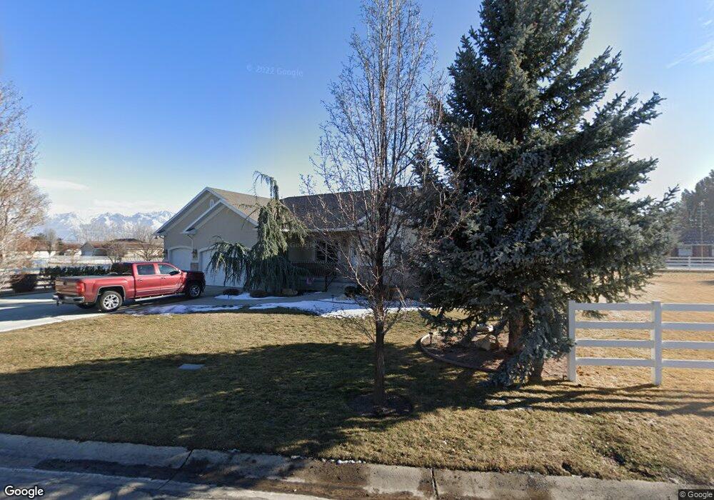
2771 W 6870 S West Jordan, UT 84084
Estimated Value: $638,000 - $782,000
3
Beds
3
Baths
3,905
Sq Ft
$186/Sq Ft
Est. Value
About This Home
This home is located at 2771 W 6870 S, West Jordan, UT 84084 and is currently estimated at $726,029, approximately $185 per square foot. 2771 W 6870 S is a home located in Salt Lake County with nearby schools including West Jordan Middle School, West Jordan High School, and Learning Tree School - Southwest.
Ownership History
Date
Name
Owned For
Owner Type
Purchase Details
Closed on
Oct 14, 2004
Sold by
Baker Michael K and Baker Janice W
Bought by
Duncan Michael W and Duncan Eileen S
Current Estimated Value
Purchase Details
Closed on
Mar 7, 2002
Sold by
Baker Michael Kelly and Baker Janice W
Bought by
Baker Michael Kelly
Home Financials for this Owner
Home Financials are based on the most recent Mortgage that was taken out on this home.
Original Mortgage
$27,500
Interest Rate
6.94%
Mortgage Type
Balloon
Create a Home Valuation Report for This Property
The Home Valuation Report is an in-depth analysis detailing your home's value as well as a comparison with similar homes in the area
Home Values in the Area
Average Home Value in this Area
Purchase History
| Date | Buyer | Sale Price | Title Company |
|---|---|---|---|
| Duncan Michael W | -- | Integrated Title Ins Svcs | |
| Baker Michael Kelly | -- | Meridian Title |
Source: Public Records
Mortgage History
| Date | Status | Borrower | Loan Amount |
|---|---|---|---|
| Previous Owner | Baker Michael Kelly | $27,500 |
Source: Public Records
Tax History Compared to Growth
Tax History
| Year | Tax Paid | Tax Assessment Tax Assessment Total Assessment is a certain percentage of the fair market value that is determined by local assessors to be the total taxable value of land and additions on the property. | Land | Improvement |
|---|---|---|---|---|
| 2025 | $3,605 | $744,300 | $201,000 | $543,300 |
| 2024 | $3,605 | $693,600 | $193,300 | $500,300 |
| 2023 | $3,732 | $676,800 | $191,400 | $485,400 |
| 2022 | $3,802 | $678,300 | $187,700 | $490,600 |
| 2021 | $3,081 | $500,300 | $156,400 | $343,900 |
| 2020 | $3,121 | $475,600 | $156,400 | $319,200 |
| 2019 | $3,051 | $456,000 | $131,400 | $324,600 |
| 2018 | $2,825 | $418,700 | $122,300 | $296,400 |
| 2017 | $2,661 | $392,700 | $122,300 | $270,400 |
| 2016 | $2,798 | $388,000 | $122,300 | $265,700 |
| 2015 | $2,550 | $344,700 | $124,600 | $220,100 |
| 2014 | $2,323 | $309,200 | $113,000 | $196,200 |
Source: Public Records
Map
Nearby Homes
- 6918 S Harvest Cir
- 2683 W Carson Ln
- 8524 S Michele River Ave W Unit 109
- 2421 W 6900 S
- 6893 S 3200 W
- 2312 W Hidden Bend Cove Unit 107
- 6512 Timpanogos Way
- 7361 S 2700 W
- 6924 S 2160 W
- 6453 Fremont Peak Cir
- 3383 W 6880 S
- 2333 W Ledgewood Dr
- 6672 S 3335 W
- 2510 W Jordan Meadows Ln
- 2573 Jordan Meadows Ln
- 2332 Broderick Dr
- 3052 W Matterhorn Dr
- 6925 S Lexington Dr
- 3226 Tysonbrook Ct
- 1951 W 7125 S