27715 N 2950 East Rd Chenoa, IL 61726
Estimated Value: $113,000 - $150,000
--
Bed
1
Bath
1,024
Sq Ft
$129/Sq Ft
Est. Value
About This Home
This home is located at 27715 N 2950 East Rd, Chenoa, IL 61726 and is currently estimated at $131,814, approximately $128 per square foot. 27715 N 2950 East Rd is a home located in McLean County with nearby schools including Prairie Central High School.
Ownership History
Date
Name
Owned For
Owner Type
Purchase Details
Closed on
Jan 31, 2024
Sold by
Nye Michael D
Bought by
Michael D Nye Illinois Farm Trust and Nye
Current Estimated Value
Purchase Details
Closed on
May 17, 2023
Sold by
Harms Louann E
Bought by
Klh Family Farms Llc
Purchase Details
Closed on
Jun 10, 2022
Sold by
Ehrhardt Roger H
Bought by
Harms Louann E and Nye Michael D
Create a Home Valuation Report for This Property
The Home Valuation Report is an in-depth analysis detailing your home's value as well as a comparison with similar homes in the area
Home Values in the Area
Average Home Value in this Area
Purchase History
| Date | Buyer | Sale Price | Title Company |
|---|---|---|---|
| Michael D Nye Illinois Farm Trust | -- | None Listed On Document | |
| Klh Family Farms Llc | -- | None Listed On Document | |
| Harms Louann E | $80,000 | Mclean County Title |
Source: Public Records
Tax History Compared to Growth
Tax History
| Year | Tax Paid | Tax Assessment Tax Assessment Total Assessment is a certain percentage of the fair market value that is determined by local assessors to be the total taxable value of land and additions on the property. | Land | Improvement |
|---|---|---|---|---|
| 2024 | $1,122 | $6,442 | $1,172 | $5,270 |
| 2022 | $1,122 | $37,729 | $8,976 | $28,753 |
| 2021 | $1,138 | $36,552 | $8,696 | $27,856 |
| 2020 | $1,145 | $36,044 | $8,575 | $27,469 |
| 2019 | $1,923 | $36,044 | $8,575 | $27,469 |
| 2018 | $2,102 | $36,044 | $8,575 | $27,469 |
| 2017 | $1,895 | $35,666 | $8,485 | $27,181 |
| 2016 | $1,763 | $35,666 | $8,485 | $27,181 |
| 2015 | $1,647 | $35,007 | $8,328 | $26,679 |
| 2014 | $1,650 | $35,007 | $8,328 | $26,679 |
| 2013 | -- | $35,007 | $8,328 | $26,679 |
Source: Public Records
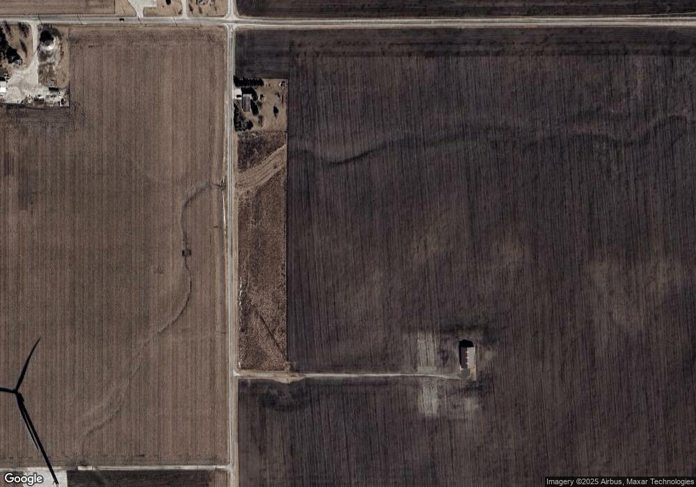
Map
Nearby Homes
- 29758 N 2850 East Rd
- 725 Sheridan St
- 605 Morningside Dr
- 503 N Commercial St
- 301 N 2nd Ave
- 319 N Letcher St
- 602 N 4th Ave
- 11 Block
- 31439 2nd St
- 706 W Wall St
- 10788 N 1000 Rd E
- 112 Gregory Ln
- 77 Acre Plot Off E 2150 Rd N
- 9898 E 1200 North Rd
- Lots 3&4 Allison Rd
- 128 Allison Rd
- 21671 Clarksville Rd
- 32892 Mcclure Rd
- 210 W North St
- 302 S Walnut St