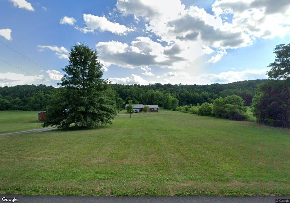
2772 Mingo Rd Chillicothe, OH 45601
Estimated Value: $226,000 - $379,000
2
Beds
2
Baths
1,066
Sq Ft
$256/Sq Ft
Est. Value
About This Home
This home is located at 2772 Mingo Rd, Chillicothe, OH 45601 and is currently estimated at $272,848, approximately $255 per square foot. 2772 Mingo Rd is a home located in Ross County with nearby schools including Paint Valley Elementary School, Paint Valley Middle School, and Paint Valley High School.
Ownership History
Date
Name
Owned For
Owner Type
Purchase Details
Closed on
Jul 20, 2012
Sold by
Cottrill Caleb M and Cottrill William C
Bought by
Cottrill Caleb M and Cottrill William C
Current Estimated Value
Home Financials for this Owner
Home Financials are based on the most recent Mortgage that was taken out on this home.
Original Mortgage
$80,000
Interest Rate
3.73%
Mortgage Type
Purchase Money Mortgage
Purchase Details
Closed on
Jul 16, 2012
Sold by
Cottrill Caleb M and Cottrill William C
Bought by
Annon Matthew R and Annon Ashley A
Home Financials for this Owner
Home Financials are based on the most recent Mortgage that was taken out on this home.
Original Mortgage
$80,000
Interest Rate
3.73%
Mortgage Type
Purchase Money Mortgage
Create a Home Valuation Report for This Property
The Home Valuation Report is an in-depth analysis detailing your home's value as well as a comparison with similar homes in the area
Purchase History
| Date | Buyer | Sale Price | Title Company |
|---|---|---|---|
| Cottrill Caleb M | -- | Attorney | |
| Annon Matthew R | $148,000 | Attorney |
Source: Public Records
Mortgage History
| Date | Status | Borrower | Loan Amount |
|---|---|---|---|
| Closed | Annon Matthew R | $80,000 |
Source: Public Records
Tax History
| Year | Tax Paid | Tax Assessment Tax Assessment Total Assessment is a certain percentage of the fair market value that is determined by local assessors to be the total taxable value of land and additions on the property. | Land | Improvement |
|---|---|---|---|---|
| 2024 | $2,084 | $59,690 | $8,370 | $51,320 |
| 2023 | $2,124 | $58,010 | $6,690 | $51,320 |
| 2022 | $2,043 | $58,010 | $6,690 | $51,320 |
| 2021 | $1,914 | $50,850 | $6,080 | $44,770 |
| 2020 | $1,912 | $50,850 | $6,080 | $44,770 |
| 2019 | $1,949 | $50,850 | $6,080 | $44,770 |
| 2018 | $1,865 | $47,340 | $4,600 | $42,740 |
| 2017 | $1,868 | $47,340 | $4,600 | $42,740 |
| 2016 | $1,821 | $47,340 | $4,600 | $42,740 |
| 2015 | $1,823 | $47,340 | $4,600 | $42,740 |
| 2014 | $1,781 | $47,340 | $4,600 | $42,740 |
| 2013 | $1,811 | $47,340 | $4,600 | $42,740 |
Source: Public Records
Map
Nearby Homes
- 1335 Mingo Rd
- 95 Clayton Mills Cir
- 2139 Poplar Ridge Rd
- 11511 Taylor St
- 264 Clayton Mills Cir
- 11524 U S 50
- 14933 US Highway 50
- 3333 Owl Creek Rd
- 16341 W U S Rt 50
- 3272 Black Run Rd
- 2616 Bishop Hill Rd
- 1975 Black Run Rd
- 16673 State Route 28 Unit 9
- 41 Bow Cir
- 18818 U S 50
- 204 Main St
- 313 Goodale Dr
- 250 Easterday Rd
- 736 Easterday Rd
- 320 Summerhill Dr
Your Personal Tour Guide
Ask me questions while you tour the home.