2774 Glenbridge Ct Unit 99 Ann Arbor, MI 48104
Georgetown NeighborhoodEstimated Value: $228,476 - $247,000
2
Beds
1
Bath
882
Sq Ft
$273/Sq Ft
Est. Value
About This Home
This home is located at 2774 Glenbridge Ct Unit 99, Ann Arbor, MI 48104 and is currently estimated at $240,619, approximately $272 per square foot. 2774 Glenbridge Ct Unit 99 is a home located in Washtenaw County with nearby schools including Pattengill Elementary School, Bryant Elementary School, and Tappan Middle School.
Ownership History
Date
Name
Owned For
Owner Type
Purchase Details
Closed on
May 2, 2003
Sold by
Yackish Marcy A and Yackish Marcy
Bought by
Cossman Barbara I
Current Estimated Value
Home Financials for this Owner
Home Financials are based on the most recent Mortgage that was taken out on this home.
Original Mortgage
$128,250
Outstanding Balance
$50,482
Interest Rate
4.5%
Mortgage Type
Purchase Money Mortgage
Estimated Equity
$190,137
Purchase Details
Closed on
Dec 3, 1999
Sold by
Mayer Daniel J
Bought by
Yackish Marcy A
Purchase Details
Closed on
Aug 5, 1996
Sold by
Reid Nancy A
Bought by
Daniel J Mayer
Home Financials for this Owner
Home Financials are based on the most recent Mortgage that was taken out on this home.
Original Mortgage
$63,650
Interest Rate
8.33%
Mortgage Type
Balloon
Create a Home Valuation Report for This Property
The Home Valuation Report is an in-depth analysis detailing your home's value as well as a comparison with similar homes in the area
Home Values in the Area
Average Home Value in this Area
Purchase History
| Date | Buyer | Sale Price | Title Company |
|---|---|---|---|
| Cossman Barbara I | $135,000 | -- | |
| Yackish Marcy A | $92,000 | -- | |
| Daniel J Mayer | $74,900 | -- |
Source: Public Records
Mortgage History
| Date | Status | Borrower | Loan Amount |
|---|---|---|---|
| Open | Cossman Barbara I | $128,250 | |
| Previous Owner | Daniel J Mayer | $63,650 |
Source: Public Records
Tax History Compared to Growth
Tax History
| Year | Tax Paid | Tax Assessment Tax Assessment Total Assessment is a certain percentage of the fair market value that is determined by local assessors to be the total taxable value of land and additions on the property. | Land | Improvement |
|---|---|---|---|---|
| 2025 | $2,420 | $100,100 | $0 | $0 |
| 2024 | $2,360 | $98,300 | $0 | $0 |
| 2023 | $2,176 | $89,200 | $0 | $0 |
| 2022 | $2,371 | $79,400 | $0 | $0 |
| 2021 | $2,316 | $78,800 | $0 | $0 |
| 2020 | $2,269 | $75,000 | $0 | $0 |
| 2019 | $2,159 | $66,500 | $66,500 | $0 |
| 2018 | $2,129 | $62,600 | $0 | $0 |
| 2017 | $2,071 | $59,800 | $0 | $0 |
| 2016 | $1,764 | $41,413 | $0 | $0 |
| 2015 | $1,903 | $41,290 | $0 | $0 |
| 2014 | $1,903 | $40,000 | $0 | $0 |
| 2013 | -- | $40,000 | $0 | $0 |
Source: Public Records
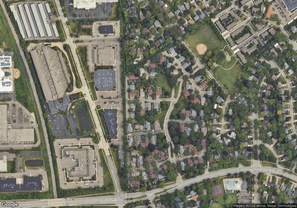
Map
Nearby Homes
- 3230 Alpine Dr Unit 45
- 3212 Lockridge Dr
- 3300 Alpine Dr Unit 10
- 3320 Alpine Dr
- 3322 Alpine Dr
- 2434 Mulberry Ct Unit 22A
- 2411 Packard St Unit 53E
- 3057 Forest Creek Ct Unit 23
- 2106 Camelot Rd
- 275 Briarcrest Dr Unit 185
- 250 Briarcrest Dr Unit 129
- 1709 South Blvd
- 2219 Needham Rd
- 11 Metroview Ct
- 2115 Nature Cove Ct Unit 206
- 2125 Nature Cove Ct Unit 108
- 2120 Stone School Cir Unit 26
- 1704 Shadford Rd
- 12 Trowbridge Ct
- 2385 S Main St
- 2776 Glenbridge Ct Unit 100
- 2778 Glenbridge Ct
- 2778 Glenbridge Ct Unit 98
- 2780 Glenbridge Ct Unit 97
- 2788 Glenbridge Ct
- 0 Glenbridge Ct
- 2786 Glenbridge Ct
- 2772 Glenbridge Ct Unit 87
- 2784 Glenbridge Ct
- 2720 Glenbridge Ct Unit 92
- 2716 Glenbridge Ct Unit 94
- 2770 Glenbridge Ct
- 2782 Glenbridge Ct
- 2722 Glenbridge Ct
- 2714 Glenbridge Ct
- 2768 Glenbridge Ct Unit 86
- 2702 Glenbridge Ct Unit 107
- 2712 Glenbridge Ct
- 2766 Glenbridge Ct
- 2766 Glenbridge Ct Unit 85