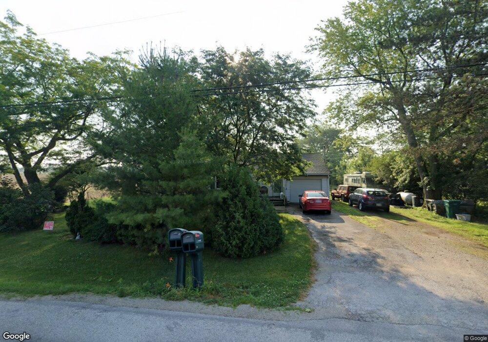
27748 Bradner Rd Millbury, OH 43447
Estimated Value: $178,000 - $219,000
3
Beds
1
Bath
1,351
Sq Ft
$145/Sq Ft
Est. Value
About This Home
This home is located at 27748 Bradner Rd, Millbury, OH 43447 and is currently estimated at $195,621, approximately $144 per square foot. 27748 Bradner Rd is a home located in Wood County with nearby schools including Lake Elementary School, Lake Middle School, and Lake High School.
Ownership History
Date
Name
Owned For
Owner Type
Purchase Details
Closed on
Oct 2, 2012
Sold by
Shupp Daniel Hager
Bought by
Shupp Daniel Hager
Current Estimated Value
Purchase Details
Closed on
Jan 5, 2006
Sold by
Hollanshed Betty and Hollanshed Betty Jo
Bought by
Shupp Daniel H
Home Financials for this Owner
Home Financials are based on the most recent Mortgage that was taken out on this home.
Original Mortgage
$109,800
Outstanding Balance
$59,801
Interest Rate
5.75%
Mortgage Type
Fannie Mae Freddie Mac
Estimated Equity
$135,820
Purchase Details
Closed on
Jan 1, 1990
Bought by
Hollanshed Betty
Create a Home Valuation Report for This Property
The Home Valuation Report is an in-depth analysis detailing your home's value as well as a comparison with similar homes in the area
Home Values in the Area
Average Home Value in this Area
Purchase History
| Date | Buyer | Sale Price | Title Company |
|---|---|---|---|
| Shupp Daniel Hager | -- | None Available | |
| Shupp Daniel H | $122,000 | None Available | |
| Hollanshed Betty | -- | -- |
Source: Public Records
Mortgage History
| Date | Status | Borrower | Loan Amount |
|---|---|---|---|
| Open | Shupp Daniel H | $109,800 |
Source: Public Records
Tax History Compared to Growth
Tax History
| Year | Tax Paid | Tax Assessment Tax Assessment Total Assessment is a certain percentage of the fair market value that is determined by local assessors to be the total taxable value of land and additions on the property. | Land | Improvement |
|---|---|---|---|---|
| 2024 | $1,558 | $40,565 | $11,935 | $28,630 |
| 2023 | $1,558 | $40,570 | $11,940 | $28,630 |
| 2021 | $1,460 | $33,470 | $9,560 | $23,910 |
| 2020 | $1,410 | $33,470 | $9,560 | $23,910 |
| 2019 | $1,216 | $29,160 | $9,560 | $19,600 |
| 2018 | $1,781 | $29,160 | $9,560 | $19,600 |
| 2017 | $1,203 | $29,160 | $9,560 | $19,600 |
| 2016 | $1,137 | $28,250 | $8,860 | $19,390 |
| 2015 | $1,137 | $28,250 | $8,860 | $19,390 |
| 2014 | $1,196 | $28,250 | $8,860 | $19,390 |
| 2013 | $1,255 | $28,250 | $8,860 | $19,390 |
Source: Public Records
Map
Nearby Homes
- 1350 South St
- 0 Circle Dr Unit 6133022
- 1330 Cherry St
- 28650 Cedar Ln
- 29100 Greystone Dr
- 29411 Mabel St
- 2190 N Centerfield Dr
- 23430 State Route 51 W
- 29987 Pemberville Rd
- 30246 Bradner Rd
- 23385 W Moline Martin Rd
- 1620 Owen Rd
- 0 Lemoyne Rd
- 3766 Lakepointe Dr
- 24125 W Walbridge Rd
- 22899 W Hellwig Rd
- 3901 Plumey Rd
- 4777 Williston Rd
- 24181 W James Ridge Rd
- 3610 Plumey Rd
- 27710 Bradner Rd
- 27717 Bradner Rd
- 27705 Bradner Rd
- 27687 Bradner Rd
- 27731 Bradner Rd
- 27731 Bradner Rd
- 27595 Bradner Rd
- 27631 Bradner Rd
- 27554 Bradner Rd
- 2002 Avenue Rd
- 2002 State Route 795
- 27402 Bradner Rd
- 28135 Bradner Rd
- 27320 Bradner Rd
- 27957 Southpointe Dr
- 27963 Southpointe Dr
- 27967 Southpointe Dr
- 27971 Southpointe Dr
- 28201 Bradner Rd
- 27975 Southpointe Dr