Estimated Value: $778,772 - $840,000
4
Beds
3
Baths
2,729
Sq Ft
$299/Sq Ft
Est. Value
About This Home
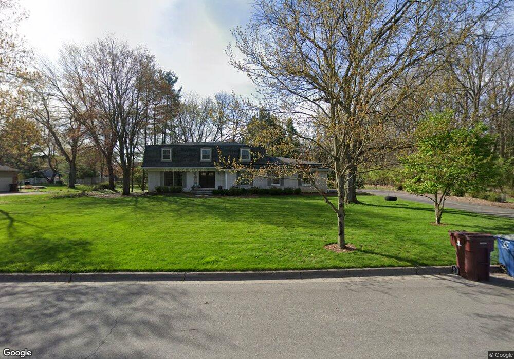
This home is located at 2775 Lowell Rd, Ann Arbor, MI 48103 and is currently estimated at $815,193, approximately $298 per square foot. 2775 Lowell Rd is a home located in Washtenaw County with nearby schools including Wines Elementary School, Forsythe Middle School, and Skyline High School.
Ownership History
Date
Name
Owned For
Owner Type
Purchase Details
Closed on
Nov 1, 2005
Sold by
Beauregard Paul J and Beauregard Margaret A
Bought by
Patselas Christopher and Patselas Jennifer
Current Estimated Value
Home Financials for this Owner
Home Financials are based on the most recent Mortgage that was taken out on this home.
Original Mortgage
$186,000
Outstanding Balance
$100,976
Interest Rate
5.89%
Mortgage Type
Fannie Mae Freddie Mac
Estimated Equity
$714,217
Create a Home Valuation Report for This Property
The Home Valuation Report is an in-depth analysis detailing your home's value as well as a comparison with similar homes in the area
Home Values in the Area
Average Home Value in this Area
Purchase History
| Date | Buyer | Sale Price | Title Company |
|---|---|---|---|
| Patselas Christopher | $428,000 | Liberty Title |
Source: Public Records
Mortgage History
| Date | Status | Borrower | Loan Amount |
|---|---|---|---|
| Open | Patselas Christopher | $186,000 |
Source: Public Records
Tax History Compared to Growth
Tax History
| Year | Tax Paid | Tax Assessment Tax Assessment Total Assessment is a certain percentage of the fair market value that is determined by local assessors to be the total taxable value of land and additions on the property. | Land | Improvement |
|---|---|---|---|---|
| 2025 | $12,197 | $301,600 | $0 | $0 |
| 2024 | $11,896 | $306,500 | $0 | $0 |
| 2023 | $10,969 | $298,500 | $0 | $0 |
| 2022 | $11,953 | $247,600 | $0 | $0 |
| 2021 | $11,671 | $265,500 | $0 | $0 |
| 2020 | $11,284 | $246,200 | $0 | $0 |
| 2019 | $10,739 | $234,000 | $234,000 | $0 |
| 2018 | $10,588 | $232,000 | $0 | $0 |
| 2017 | $10,300 | $224,400 | $0 | $0 |
| 2016 | $8,773 | $205,957 | $0 | $0 |
| 2015 | $9,270 | $201,154 | $0 | $0 |
| 2014 | $9,270 | $194,870 | $0 | $0 |
| 2013 | -- | $194,870 | $0 | $0 |
Source: Public Records
Map
Nearby Homes
- 2277 W Huron River Dr
- 2844 Whippoorwill Ln
- 2136 Newport Rd
- 2134 Overlook Ct
- 341 Corrie Rd
- 2108 Newport Rd Unit Parcel 2108
- 2108 Newport Rd
- 2374 Newport Rd
- 2174 Overlook Ct Unit 326
- 244 Barton Shore Dr
- Morenci Plan at Barton Ridge
- Brant Plan at Barton Ridge
- Haslett Plan at Barton Ridge
- Alma Plan at Barton Ridge
- Decker Plan at Barton Ridge
- 2086 Autumn Hill Dr Unit 82
- 3440 Maple Ridge Dr
- 3470 Maple Ridge Dr
- 102 Samara Lane Ct
- 3415 Maple Ridge Dr
- 2727 Provincetown Ct
- 2765 Lowell Rd
- 2780 Lowell Rd
- 2772 Lowell Rd
- 2723 Provincetown Ct
- 2764 Lowell Rd
- 2745 Lowell Rd
- 2705 Newport Rd
- 2756 Lowell Rd
- 2731 Provincetown Ct
- 2748 Lowell Rd
- 2735 Provincetown Ct
- 2719 Provincetown Ct
- 2715 Provincetown Ct
- 2769 Holyoke Ln
- 2773 Holyoke Ln
- 2765 Holyoke Ln
- 2720 White Oak Dr Unit 2
- 2779 Holyoke Ln
- 2723 White Oak Dr