2775 West St Wrentham, MA 02093
West Wrentham NeighborhoodEstimated Value: $936,000 - $1,051,000
4
Beds
5
Baths
2,936
Sq Ft
$340/Sq Ft
Est. Value
About This Home
This home is located at 2775 West St, Wrentham, MA 02093 and is currently estimated at $997,444, approximately $339 per square foot. 2775 West St is a home located in Norfolk County with nearby schools including Delaney Elementary School, Charles E Roderick, and Rise Prep Mayoral Academy Middle School.
Ownership History
Date
Name
Owned For
Owner Type
Purchase Details
Closed on
May 23, 2018
Sold by
Cron Alan H and Cron Ellen M
Bought by
Cron Ellen M
Current Estimated Value
Purchase Details
Closed on
Apr 23, 1999
Sold by
Pentad Rt
Bought by
Cron Alan H and Cron Ellen Ms
Home Financials for this Owner
Home Financials are based on the most recent Mortgage that was taken out on this home.
Original Mortgage
$260,000
Interest Rate
7.02%
Mortgage Type
Purchase Money Mortgage
Create a Home Valuation Report for This Property
The Home Valuation Report is an in-depth analysis detailing your home's value as well as a comparison with similar homes in the area
Home Values in the Area
Average Home Value in this Area
Purchase History
| Date | Buyer | Sale Price | Title Company |
|---|---|---|---|
| Cron Ellen M | -- | -- | |
| Cron Alan H | $399,000 | -- |
Source: Public Records
Mortgage History
| Date | Status | Borrower | Loan Amount |
|---|---|---|---|
| Previous Owner | Cron Alan H | $260,000 |
Source: Public Records
Tax History Compared to Growth
Tax History
| Year | Tax Paid | Tax Assessment Tax Assessment Total Assessment is a certain percentage of the fair market value that is determined by local assessors to be the total taxable value of land and additions on the property. | Land | Improvement |
|---|---|---|---|---|
| 2025 | $11,310 | $975,800 | $294,500 | $681,300 |
| 2024 | $10,650 | $887,500 | $294,500 | $593,000 |
| 2023 | $10,560 | $836,800 | $268,400 | $568,400 |
| 2022 | $10,124 | $740,600 | $261,600 | $479,000 |
| 2021 | $9,652 | $686,000 | $244,900 | $441,100 |
| 2020 | $9,949 | $698,200 | $188,500 | $509,700 |
| 2019 | $9,270 | $656,500 | $170,300 | $486,200 |
| 2018 | $8,722 | $612,500 | $169,900 | $442,600 |
| 2017 | $8,507 | $597,000 | $166,700 | $430,300 |
| 2016 | $8,340 | $584,000 | $161,900 | $422,100 |
| 2015 | $8,777 | $585,900 | $172,300 | $413,600 |
| 2014 | $8,632 | $563,800 | $165,700 | $398,100 |
Source: Public Records
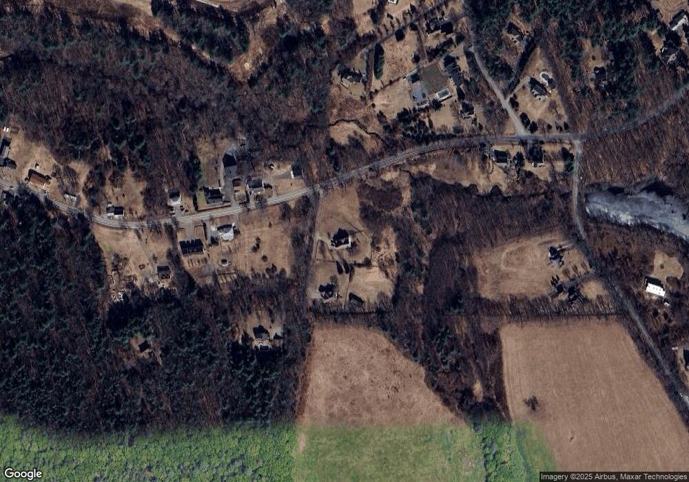
Map
Nearby Homes
- 9 Pebble Cir Unit 9
- 24 Palmetto Dr Unit 24
- 21 Palmetto Dr Unit 21
- 65 Palmetto Dr Unit 65
- 219 Dawn Blvd
- 29 Squire Ln
- 20 Nature View Dr
- 25 Nature View Dr
- 340 Wrentham Rd
- 124 Lake St
- 10 Stoneham Dr
- 444 Knollwood Dr
- 1250 Pulaski Blvd
- 2 Duhamel Way
- 56 Arland Ct
- 2095 West St
- 245 W Wrentham Rd
- 180 Pine Swamp Rd
- 56 Pine Swamp Rd
- 202 Paine St
- 2785 West St
- 710 Wrentham Rd
- 705 Wrentham Rd
- 709 Wrentham Rd
- 703 Wrentham Rd Unit 1
- 703 Wrentham Rd Unit 2
- 703 Wrentham Rd Unit 703B
- 703 Wrentham Rd Unit 703A
- 703 Wrentham Rd
- 700 Wrentham Rd
- 702 Wrentham Rd Unit 700
- 702 Wrentham Rd
- 702 Wrentham Rd Unit 799
- 700 Wrentham Rd Unit 799
- 29 Luke St
- 5 Luke St
- 701 Wrentham Rd
- 2755 West St
- 15 Luke St
- 680-682 Wrentham Rd