2776 Bag End Way Port Orchard, WA 98367
Estimated Value: $665,609 - $785,000
4
Beds
3
Baths
2,684
Sq Ft
$264/Sq Ft
Est. Value
About This Home
This home is located at 2776 Bag End Way, Port Orchard, WA 98367 and is currently estimated at $708,536, approximately $263 per square foot. 2776 Bag End Way is a home with nearby schools including Burley Glenwood Elementary School, Cedar Heights Middle School, and South Kitsap High School.
Ownership History
Date
Name
Owned For
Owner Type
Purchase Details
Closed on
Jul 8, 2025
Sold by
Elite Solutions Llc
Bought by
Remde Waldemar A and Remde Robin
Current Estimated Value
Purchase Details
Closed on
Jul 2, 2013
Sold by
Smith Sean A and Smith Kimberly D
Bought by
Elite Solutions Llc
Home Financials for this Owner
Home Financials are based on the most recent Mortgage that was taken out on this home.
Original Mortgage
$85,000
Interest Rate
3.92%
Mortgage Type
Seller Take Back
Create a Home Valuation Report for This Property
The Home Valuation Report is an in-depth analysis detailing your home's value as well as a comparison with similar homes in the area
Home Values in the Area
Average Home Value in this Area
Purchase History
| Date | Buyer | Sale Price | Title Company |
|---|---|---|---|
| Remde Waldemar A | $313 | None Listed On Document | |
| Elite Solutions Llc | $100,280 | Land Title |
Source: Public Records
Mortgage History
| Date | Status | Borrower | Loan Amount |
|---|---|---|---|
| Previous Owner | Elite Solutions Llc | $85,000 |
Source: Public Records
Tax History Compared to Growth
Tax History
| Year | Tax Paid | Tax Assessment Tax Assessment Total Assessment is a certain percentage of the fair market value that is determined by local assessors to be the total taxable value of land and additions on the property. | Land | Improvement |
|---|---|---|---|---|
| 2026 | $2 | $530,240 | $115,370 | $414,870 |
| 2025 | $4,638 | $530,240 | $115,370 | $414,870 |
| 2024 | $4,498 | $530,240 | $115,370 | $414,870 |
| 2023 | $4,468 | $530,240 | $115,370 | $414,870 |
| 2022 | $4,270 | $424,240 | $91,960 | $332,280 |
| 2021 | $4,058 | $381,310 | $83,600 | $297,710 |
| 2020 | $3,947 | $360,200 | $79,600 | $280,600 |
| 2019 | $3,337 | $333,810 | $73,570 | $260,240 |
| 2018 | $3,542 | $269,770 | $63,320 | $206,450 |
| 2017 | $2,974 | $269,770 | $63,320 | $206,450 |
| 2016 | $2,011 | $164,530 | $60,310 | $104,220 |
| 2015 | $1,513 | $123,870 | $60,310 | $63,560 |
| 2014 | -- | $57,970 | $52,970 | $5,000 |
| 2013 | -- | $57,970 | $52,970 | $5,000 |
Source: Public Records
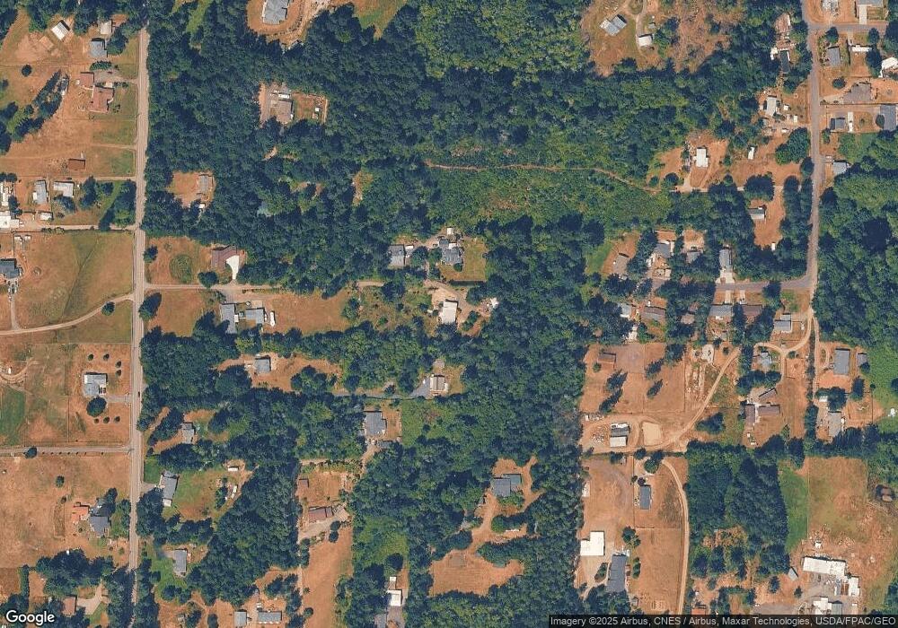
Map
Nearby Homes
- 12524 Westbrook Dr SW
- 3379 SW County Line Rd
- 15721 Fairview Lake Rd SW
- 9207 158th Street Ct NW
- 9113 158th Street Ct NW
- 0 Silver Ln SW
- 0 Lake Helena Trail Unit NWM2446806
- 571 SE Spruce Rd
- 11618 Sidney Rd SW
- 5040 SW Lake Helena Rd
- 11676 Fry Ave SW
- 11291 Cooper Ave SW
- 10569 Glenwood Rd SW
- 453 SW View Dr
- 15102 85th Ave NW
- 1204 SE Oak Rd
- 9216 144th Street Ct NW
- 146 XX Park Dr SE
- 145 XX Park Dr SE
- 1450 SE Spruce Rd
- 2775 Bag End Way
- 14141 Glenwood Rd SW
- 14251 Glenwood Rd SW
- 2380 SW Rapids Dr
- 2403 SW Rapids Dr
- 2595 SW Pine Rd
- 2352 SW Rapids Dr
- 3800 SW Alava Ct Unit 199
- 3815 SW Alava Ct Unit 219
- 2349 SW Rapids Dr
- 14155 Glenwood Rd SW
- 2328 SW Rapids Dr
- 14187 Glenwood Rd SW
- 2782 SW Mccay Dr
- 2321 SW Rapids Dr
- 2633 SW Pine Rd
- 14137 Glenwood Rd SW
- 2300 SW Rapids Dr
- 2499 SW Pine Rd