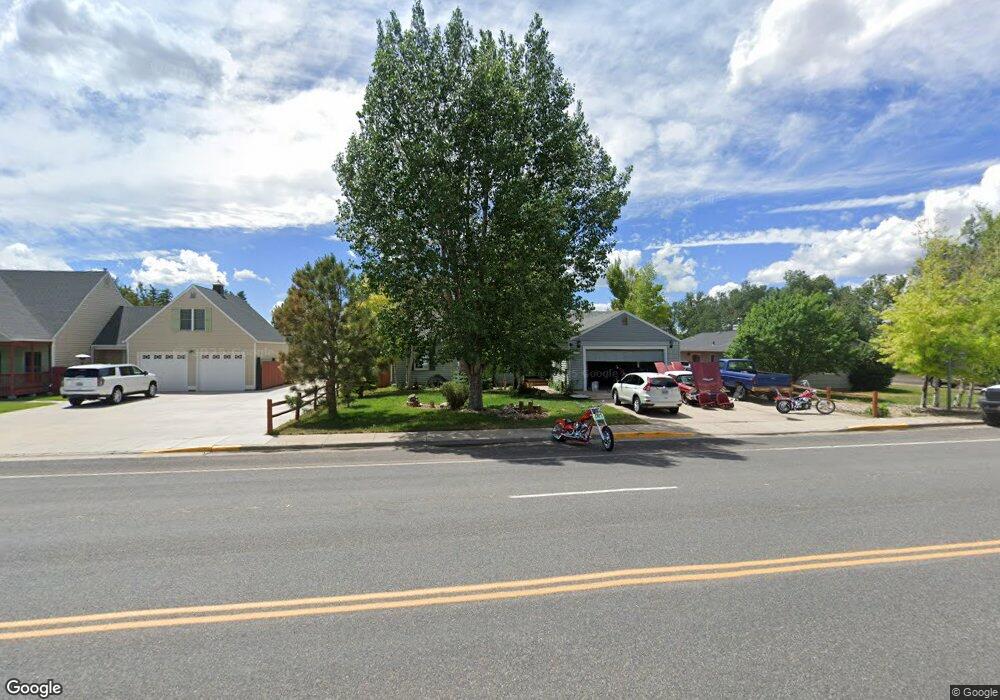
2776 Snowy Range Rd Laramie, WY 82070
Estimated Value: $338,000 - $372,316
3
Beds
2
Baths
1,433
Sq Ft
$243/Sq Ft
Est. Value
About This Home
This home is located at 2776 Snowy Range Rd, Laramie, WY 82070 and is currently estimated at $347,579, approximately $242 per square foot. 2776 Snowy Range Rd is a home located in Albany County with nearby schools including Velma Linford Elementary School, Laramie Middle School, and Laramie High School.
Ownership History
Date
Name
Owned For
Owner Type
Purchase Details
Closed on
Dec 22, 2021
Sold by
Martinez Joseph T
Bought by
Martinez Mercedes M and Martinez Mya B
Current Estimated Value
Purchase Details
Closed on
Mar 20, 2009
Sold by
Hassler Martha M
Bought by
Martinez Joseph T
Purchase Details
Closed on
Sep 9, 2008
Sold by
Hassler Martha M and Martinez Joseph T
Bought by
Hassler Martha M
Create a Home Valuation Report for This Property
The Home Valuation Report is an in-depth analysis detailing your home's value as well as a comparison with similar homes in the area
Home Values in the Area
Average Home Value in this Area
Purchase History
| Date | Buyer | Sale Price | Title Company |
|---|---|---|---|
| Martinez Mercedes M | -- | None Listed On Document | |
| Martinez Joseph T | -- | -- | |
| Hassler Martha M | -- | -- |
Source: Public Records
Tax History Compared to Growth
Tax History
| Year | Tax Paid | Tax Assessment Tax Assessment Total Assessment is a certain percentage of the fair market value that is determined by local assessors to be the total taxable value of land and additions on the property. | Land | Improvement |
|---|---|---|---|---|
| 2025 | $2,106 | $22,508 | $3,452 | $19,056 |
| 2024 | $2,106 | $28,855 | $4,425 | $24,430 |
| 2023 | $2,067 | $28,321 | $4,425 | $23,896 |
| 2022 | $1,788 | $24,496 | $4,425 | $20,071 |
| 2021 | $1,603 | $21,956 | $4,425 | $17,531 |
| 2020 | $1,535 | $21,026 | $3,991 | $17,035 |
| 2019 | $1,408 | $19,294 | $3,991 | $15,303 |
| 2018 | $1,297 | $17,766 | $3,311 | $14,455 |
| 2017 | $1,304 | $17,861 | $3,311 | $14,550 |
| 2016 | $1,260 | $17,258 | $2,734 | $14,524 |
| 2015 | $1,249 | $17,111 | $3,785 | $13,326 |
| 2014 | $1,239 | $16,977 | $0 | $0 |
Source: Public Records
Map
Nearby Homes
- 2166 W Wyoming Ave Unit 29
- 2166 W Wyoming Ave Unit 25
- 174 N Colorado Ave
- 2075 Jefferson St
- 416 Arthur St
- 370 S Buchanan St
- 541 S Johnson St
- 1012 A-B S Colorado Ave
- 627 S Colorado Ave
- 427 S Pierce St
- 1990 Truman St
- 262 N Taylor St Unit 5
- 2260 Franklin St Unit 27
- 2260 Franklin St Unit 38
- 529 S Pierce St
- 8 Star Struck Ln
- 1866 Truman St
- 1416 S Colorado Ave
- 1414 S Colorado Ave
- 1412 S Colorado Ave
- 2462 Wyoming Ave
- 2466 Wyoming Ave
- 2766 Snowy Range Rd
- 2472 Wyoming Ave
- 2378 Wyoming Ave
- 119 S Cleveland St
- 2756 Snowy Range Rd
- 109 S Cleveland St
- 2465 Wyoming Ave
- 2478 Wyoming Ave
- 2372 Wyoming Ave
- 127 Cleveland St
- 2467 Jefferson St
- 2463 Jefferson St
- 2377 Wyoming Ave
- 2373 Jefferson St
- 2367 Jefferson St
- 106 S Grant St
- 2363 Jefferson St
- 106 S Cleveland St