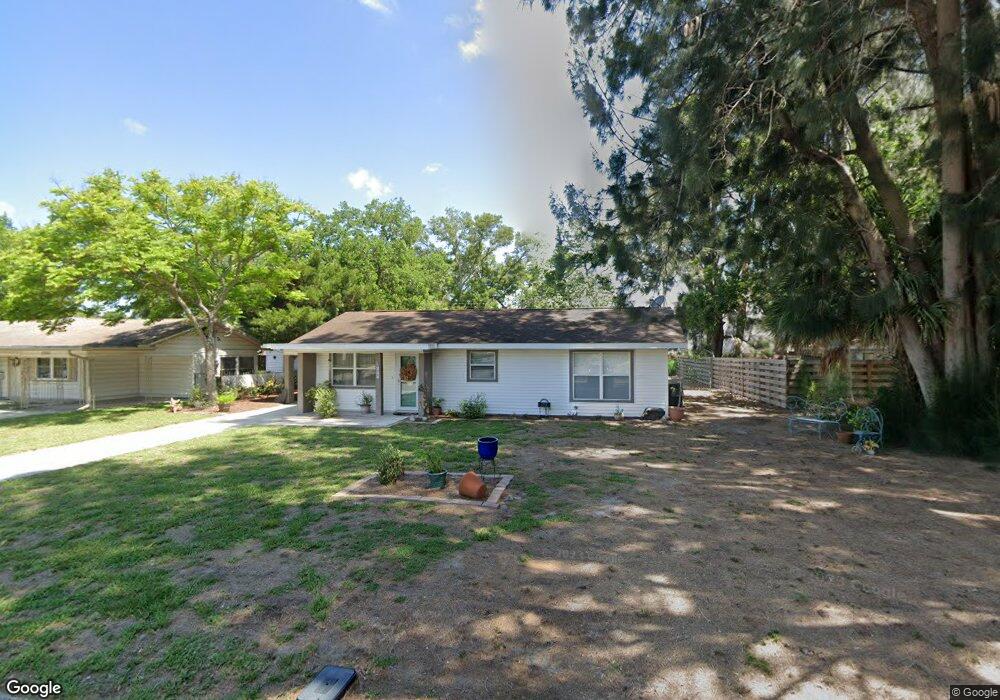
2777 Martin St Unit 2 Sarasota, FL 34237
Downtown Sarasota NeighborhoodEstimated Value: $417,459 - $444,000
4
Beds
2
Baths
1,440
Sq Ft
$301/Sq Ft
Est. Value
About This Home
This home is located at 2777 Martin St Unit 2, Sarasota, FL 34237 and is currently estimated at $433,365, approximately $300 per square foot. 2777 Martin St Unit 2 is a home located in Sarasota County with nearby schools including Alta Vista Elementary School, Booker Middle School, and Sarasota High School.
Ownership History
Date
Name
Owned For
Owner Type
Purchase Details
Closed on
Sep 28, 2011
Sold by
Freedom House Buyers Llc
Bought by
Brock Deborah J
Current Estimated Value
Home Financials for this Owner
Home Financials are based on the most recent Mortgage that was taken out on this home.
Original Mortgage
$110,675
Outstanding Balance
$75,992
Interest Rate
4.24%
Mortgage Type
New Conventional
Estimated Equity
$357,373
Purchase Details
Closed on
Mar 4, 2011
Sold by
Mcnitt Buddy G and Mcnitt John M
Bought by
Freedom House Buyers Llc
Create a Home Valuation Report for This Property
The Home Valuation Report is an in-depth analysis detailing your home's value as well as a comparison with similar homes in the area
Home Values in the Area
Average Home Value in this Area
Purchase History
| Date | Buyer | Sale Price | Title Company |
|---|---|---|---|
| Brock Deborah J | $116,500 | Desjarlais Title Company | |
| Freedom House Buyers Llc | $24,000 | Banyan Escrow & Securities T |
Source: Public Records
Mortgage History
| Date | Status | Borrower | Loan Amount |
|---|---|---|---|
| Open | Brock Deborah J | $110,675 |
Source: Public Records
Tax History Compared to Growth
Tax History
| Year | Tax Paid | Tax Assessment Tax Assessment Total Assessment is a certain percentage of the fair market value that is determined by local assessors to be the total taxable value of land and additions on the property. | Land | Improvement |
|---|---|---|---|---|
| 2024 | $1,456 | $125,029 | -- | -- |
| 2023 | $1,456 | $121,387 | $0 | $0 |
| 2022 | $1,374 | $117,851 | $0 | $0 |
| 2021 | $1,383 | $114,418 | $0 | $0 |
| 2020 | $1,389 | $112,838 | $0 | $0 |
| 2019 | $1,343 | $110,301 | $0 | $0 |
| 2018 | $1,314 | $108,244 | $0 | $0 |
| 2017 | $1,292 | $106,018 | $0 | $0 |
| 2016 | $1,279 | $202,500 | $76,400 | $126,100 |
| 2015 | $1,296 | $170,900 | $58,400 | $112,500 |
| 2014 | $1,289 | $100,785 | $0 | $0 |
Source: Public Records
Map
Nearby Homes
- 2677 Martin St
- 2877 Michigan St
- 2647 Sydelle St
- 2616 Martin St
- 95 S Briggs Ave
- 2953 Oak St
- 128 N Briggs Ave
- 2508 Belvoir Blvd
- 2484 Ringling Blvd
- 2524 Novus St
- 2470 Ringling Blvd
- 2564 Wood St
- 2485 S Milmar Dr
- 2492 S Milmar Dr
- 2450 Ringling Blvd
- 236 Davis Blvd
- 161 Suntan Ave
- 2461 Ringling Blvd
- Lots 3 & 4 S Briggs Ave
- Lots 7 & 8 S Briggs Ave
- 2765 Martin St
- 2789 Martin St
- 2753 Martin St
- 2774 Martin St
- 2762 Martin St
- 2740 Davis Blvd
- 2741 Martin St
- 2750 Martin St
- 2730 Davis Blvd Unit N/A
- 2730 Davis Blvd
- 345 S Tuttle Ave
- 341 S Tuttle Ave
- 2775 Sydelle St
- 2738 Martin St
- 2763 Sydelle St
- 2729 Martin St
- 407 S Tuttle Ave
- 2751 Sydelle St
- 335 S Tuttle Ave
- 2720 Davis Blvd
