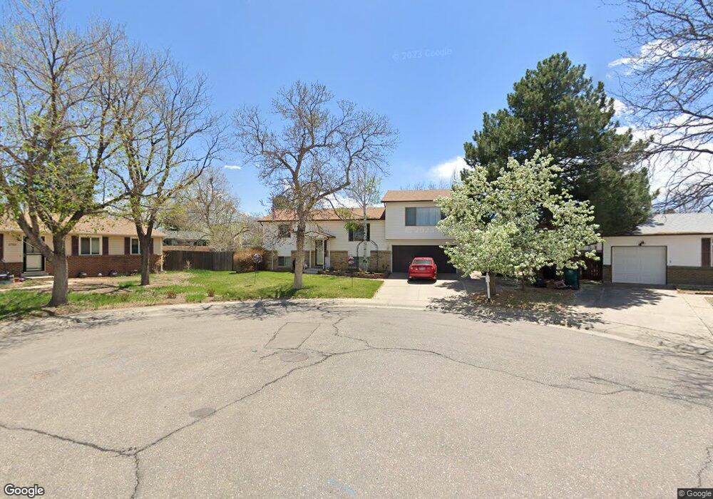
2778 S Lewiston St Aurora, CO 80013
Meadowood NeighborhoodEstimated Value: $458,000 - $511,000
4
Beds
2
Baths
1,308
Sq Ft
$369/Sq Ft
Est. Value
About This Home
This home is located at 2778 S Lewiston St, Aurora, CO 80013 and is currently estimated at $482,905, approximately $369 per square foot. 2778 S Lewiston St is a home located in Arapahoe County with nearby schools including Dartmouth Elementary School, Columbia Middle School, and Rangeview High School.
Ownership History
Date
Name
Owned For
Owner Type
Purchase Details
Closed on
May 3, 1990
Sold by
Heitman Donald L and Heitman Kevan C
Bought by
Heitman Cynthia L Heitman Kevan C
Current Estimated Value
Purchase Details
Closed on
Mar 15, 1990
Sold by
Heitman Cynthia L Heitman Kevan C
Bought by
Heitman Donald L and Heitman Kevan C
Purchase Details
Closed on
Mar 1, 1984
Sold by
Conversion Arapco
Bought by
Conversion Arapco
Purchase Details
Closed on
Jul 4, 1776
Bought by
Conversion Arapco
Create a Home Valuation Report for This Property
The Home Valuation Report is an in-depth analysis detailing your home's value as well as a comparison with similar homes in the area
Home Values in the Area
Average Home Value in this Area
Purchase History
| Date | Buyer | Sale Price | Title Company |
|---|---|---|---|
| Heitman Cynthia L Heitman Kevan C | -- | -- | |
| Heitman Donald L | -- | -- | |
| Heitman Cynthia L Heitman Kevan C | -- | -- | |
| Conversion Arapco | -- | -- | |
| Conversion Arapco | -- | -- |
Source: Public Records
Tax History Compared to Growth
Tax History
| Year | Tax Paid | Tax Assessment Tax Assessment Total Assessment is a certain percentage of the fair market value that is determined by local assessors to be the total taxable value of land and additions on the property. | Land | Improvement |
|---|---|---|---|---|
| 2024 | $2,935 | $32,743 | -- | -- |
| 2023 | $2,935 | $31,577 | $0 | $0 |
| 2022 | $2,555 | $25,444 | $0 | $0 |
| 2021 | $2,637 | $25,444 | $0 | $0 |
| 2020 | $2,347 | $22,544 | $0 | $0 |
| 2019 | $2,335 | $22,544 | $0 | $0 |
| 2018 | $2,140 | $20,239 | $0 | $0 |
| 2017 | $1,862 | $20,239 | $0 | $0 |
| 2016 | $1,496 | $15,928 | $0 | $0 |
| 2015 | $1,444 | $15,928 | $0 | $0 |
| 2014 | -- | $11,080 | $0 | $0 |
| 2013 | -- | $12,810 | $0 | $0 |
Source: Public Records
Map
Nearby Homes
- 16215 E Brunswick Dr
- 16341 E Bates Dr
- 2822 S Mobile St
- 2615 S Laredo Ct
- 2832 S Mobile St
- 2884 S Mobile St
- 16096 E Columbia Place
- 16497 E Vassar Ave
- 3035 S Idalia St
- 16570 E Lasalle Place
- 2497 S Mobile St
- 2493 S Kalispell Cir
- 3138 S Joplin Ct
- 2463 S Memphis Way
- 3060 S Hannibal St
- 16879 E Amherst Ave
- 16025 E Eldorado Place
- 3155 S Norfolk St
- 15640 E Eldorado Dr
- 16180 E Flora Place
- 2788 S Lewiston St
- 16225 E Brunswick Dr
- 2820 S Lewiston St
- 16235 E Brunswick Dr
- 2768 S Lewiston St
- 2748 S Lewiston St
- 2840 S Lewiston St
- 16245 E Brunswick Dr
- 2738 S Lewiston St
- 16255 E Brunswick Dr
- 2787 S Lewiston St
- 2797 S Lewiston St
- 16265 E Brunswick Dr
- 16224 E Brown Place
- 2777 S Lewiston St
- 2819 S Lewiston St
- 16216 E Brunswick Dr
- 2767 S Lewiston St
- 16220 E Linvale Ave
- 16210 E Linvale Ave