2779 Cedar Kay Trail Duluth, GA 30097
Estimated Value: $630,000 - $738,000
5
Beds
5
Baths
3,318
Sq Ft
$205/Sq Ft
Est. Value
About This Home
This home is located at 2779 Cedar Kay Trail, Duluth, GA 30097 and is currently estimated at $681,524, approximately $205 per square foot. 2779 Cedar Kay Trail is a home with nearby schools including M. H. Mason Elementary School, Hull Middle School, and Peachtree Ridge High School.
Ownership History
Date
Name
Owned For
Owner Type
Purchase Details
Closed on
Feb 29, 2024
Sold by
Limbarno Imelda
Bought by
Budihardjo Daniel and Limbarno Imelda
Current Estimated Value
Purchase Details
Closed on
Dec 17, 2012
Sold by
Pulte Home Corp
Bought by
Limbarno Imelda and Budihardjo Daniel
Home Financials for this Owner
Home Financials are based on the most recent Mortgage that was taken out on this home.
Original Mortgage
$249,600
Interest Rate
3.38%
Mortgage Type
New Conventional
Create a Home Valuation Report for This Property
The Home Valuation Report is an in-depth analysis detailing your home's value as well as a comparison with similar homes in the area
Home Values in the Area
Average Home Value in this Area
Purchase History
| Date | Buyer | Sale Price | Title Company |
|---|---|---|---|
| Budihardjo Daniel | -- | -- | |
| Budihardjo Daniel | -- | -- | |
| Limbarno Imelda | $317,625 | -- |
Source: Public Records
Mortgage History
| Date | Status | Borrower | Loan Amount |
|---|---|---|---|
| Previous Owner | Limbarno Imelda | $249,600 |
Source: Public Records
Tax History Compared to Growth
Tax History
| Year | Tax Paid | Tax Assessment Tax Assessment Total Assessment is a certain percentage of the fair market value that is determined by local assessors to be the total taxable value of land and additions on the property. | Land | Improvement |
|---|---|---|---|---|
| 2025 | $6,959 | $249,320 | $50,000 | $199,320 |
| 2024 | $6,361 | $249,320 | $50,000 | $199,320 |
| 2023 | $6,361 | $217,480 | $38,000 | $179,480 |
| 2022 | $5,501 | $172,000 | $32,000 | $140,000 |
| 2021 | $5,600 | $172,000 | $32,000 | $140,000 |
| 2020 | $5,640 | $174,960 | $32,000 | $142,960 |
| 2019 | $5,311 | $164,280 | $28,800 | $135,480 |
| 2018 | $5,298 | $164,280 | $28,800 | $135,480 |
| 2016 | $5,189 | $157,440 | $28,800 | $128,640 |
| 2015 | $4,818 | $138,040 | $28,800 | $109,240 |
| 2014 | -- | $131,480 | $28,800 | $102,680 |
Source: Public Records
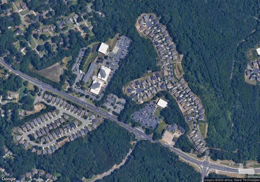
Map
Nearby Homes
- 2822 Salem Oak Way
- 2539 Larson Creek Cove
- 2816 Staunton Dr
- 2893 Thurleston Ln
- 2883 Thurleston Ln
- 2747 Mount Pleasant Trail
- 2741 Willowstone Dr
- 2818 Willowstone Dr
- 2820 Bluebird Cir NW
- 2491 Cannon Farm Ln
- 2578 Worrall Hill Way
- 2437 Staunton Dr
- 2938 Willowstone Dr
- 2502 Oak Hill Overlook
- 2895 Dogwood Creek Pkwy Unit 1
- 2932 Hunting Wood Walk
- 3088 Willowstone Dr
- 3315 Oak Hampton Way Unit 1
- 2568 Gadsen Walk
- 2918 Major Ridge Trail
- 2769 Cedar Kay Trail
- 2778 Cedar Kay Trail
- 2759 Cedar Kay Trail
- 2768 Cedar Kay Trail
- 2749 Cedar Kay Trail
- 2758 Cedar Kay Trail
- 2748 Cedar Kay Trail
- 2739 Cedar Kay Trail
- 2518 Duluth Highway 120
- 2518 Duluth Highway 120
- 2738 Cedar Kay Trail
- 2729 Cedar Kay Trail
- 2728 Cedar Kay Trail
- 2508 Duluth Highway 120
- 2719 Cedar Kay Trail
- 2718 Cedar Kay Trail
- 2420 Northmont Pkwy
- 2708 Cedar Kay Trail
- 2430 Northmont Pkwy
- 2439 Alnwick Dr