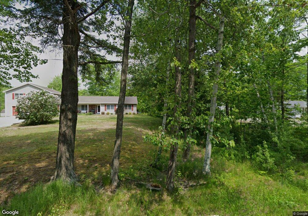
277B Rooks Rd Holden, ME 04429
Estimated Value: $364,000 - $453,000
--
Bed
--
Bath
--
Sq Ft
2
Acres
About This Home
This home is located at 277B Rooks Rd, Holden, ME 04429 and is currently estimated at $404,450. 277B Rooks Rd is a home.
Ownership History
Date
Name
Owned For
Owner Type
Purchase Details
Closed on
Aug 23, 2021
Sold by
Ebersole Joyce A and Ebersole Burton R
Bought by
Salley Kimberly K and Salley Paul J
Current Estimated Value
Home Financials for this Owner
Home Financials are based on the most recent Mortgage that was taken out on this home.
Original Mortgage
$193,600
Outstanding Balance
$176,042
Interest Rate
2.9%
Mortgage Type
Purchase Money Mortgage
Estimated Equity
$228,408
Create a Home Valuation Report for This Property
The Home Valuation Report is an in-depth analysis detailing your home's value as well as a comparison with similar homes in the area
Home Values in the Area
Average Home Value in this Area
Purchase History
| Date | Buyer | Sale Price | Title Company |
|---|---|---|---|
| Salley Kimberly K | -- | None Available |
Source: Public Records
Mortgage History
| Date | Status | Borrower | Loan Amount |
|---|---|---|---|
| Open | Salley Kimberly K | $193,600 |
Source: Public Records
Tax History Compared to Growth
Tax History
| Year | Tax Paid | Tax Assessment Tax Assessment Total Assessment is a certain percentage of the fair market value that is determined by local assessors to be the total taxable value of land and additions on the property. | Land | Improvement |
|---|---|---|---|---|
| 2024 | $4,573 | $236,330 | $55,000 | $181,330 |
| 2023 | $4,462 | $243,140 | $55,000 | $188,140 |
| 2022 | $4,347 | $243,550 | $55,000 | $188,550 |
| 2021 | $4,295 | $240,640 | $53,500 | $187,140 |
| 2020 | $4,296 | $240,670 | $53,500 | $187,170 |
| 2019 | $4,098 | $241,030 | $53,500 | $187,530 |
| 2018 | $4,043 | $242,810 | $53,500 | $189,310 |
| 2017 | $3,867 | $243,200 | $53,500 | $189,700 |
| 2016 | $3,602 | $230,130 | $52,500 | $177,630 |
| 2015 | $3,109 | $198,650 | $52,500 | $146,150 |
| 2014 | $3,109 | $198,650 | $52,500 | $146,150 |
| 2013 | $3,099 | $198,650 | $52,500 | $146,150 |
Source: Public Records
Map
Nearby Homes
- 929 Levenseller Rd
- 271 Clark Hill Rd
- 124 Collette Rd
- 1068 Main Rd
- 0 Tbd Chemo Pond Rd
- 46 Pond Rd
- 0 Tbd Mountain View Dr
- 22 Comins Ln
- 56 Royal Ridge Rd
- 017-35 Airline Rd
- 131 Comins Ln
- 619 Main Rd
- 269 Bruckoff Rd
- 128 Holbrook Rd
- 100 Airline Rd
- 5 Abbey Ln
- 15-3 Royal Ridge
- 32 Charles Dr
- 993 Main Rd
- 20 Lakeman Ln
- 277 Rooks Rd
- 810 Levenseller Rd
- 815 Levenseller Rd
- 276 Rooks Rd
- 820 Levenseller Rd
- 269 Rooks Rd
- 804 Levenseller Rd
- 847 Levenseller Rd
- 265 Rooks Rd
- 842 Levenseller Rd
- 407 Clark Hill Rd
- 400 Clark Hill Rd
- 794 Levenseller Rd
- 0 Clark Hill Rd Lot #5
- 218 Rooks Rd
- 224 Rooks Rd
- 252 Rooks Rd
- 270 Rooks Rd
- 228 Rooks Rd
- 876 Levenseller Rd