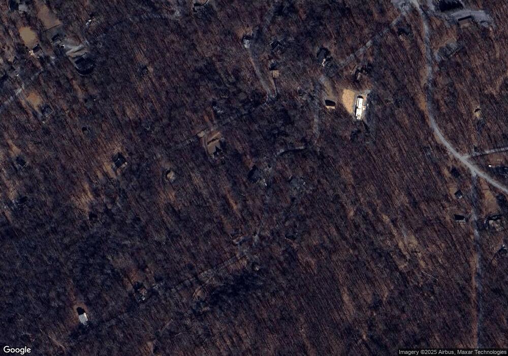
278 Boulder Rd Front Royal, VA 22630
Estimated Value: $501,390 - $563,000
3
Beds
3
Baths
2,305
Sq Ft
$231/Sq Ft
Est. Value
About This Home
This home is located at 278 Boulder Rd, Front Royal, VA 22630 and is currently estimated at $532,848, approximately $231 per square foot. 278 Boulder Rd is a home located in Warren County with nearby schools including Hilda J. Barbour Elementary School, Warren County High School, and Dominion Ridge Academy.
Ownership History
Date
Name
Owned For
Owner Type
Purchase Details
Closed on
Sep 12, 2014
Sold by
Haworth Michael T
Bought by
Haworth Michael T and Haworth Yanileth L
Current Estimated Value
Home Financials for this Owner
Home Financials are based on the most recent Mortgage that was taken out on this home.
Original Mortgage
$358,500
Outstanding Balance
$274,252
Interest Rate
4.12%
Mortgage Type
VA
Estimated Equity
$258,596
Purchase Details
Closed on
Apr 15, 2009
Sold by
Valley Building Systems Inc
Bought by
United Bank
Create a Home Valuation Report for This Property
The Home Valuation Report is an in-depth analysis detailing your home's value as well as a comparison with similar homes in the area
Home Values in the Area
Average Home Value in this Area
Purchase History
| Date | Buyer | Sale Price | Title Company |
|---|---|---|---|
| Haworth Michael T | -- | None Available | |
| United Bank | -- | -- |
Source: Public Records
Mortgage History
| Date | Status | Borrower | Loan Amount |
|---|---|---|---|
| Open | Haworth Michael T | $358,500 |
Source: Public Records
Tax History Compared to Growth
Tax History
| Year | Tax Paid | Tax Assessment Tax Assessment Total Assessment is a certain percentage of the fair market value that is determined by local assessors to be the total taxable value of land and additions on the property. | Land | Improvement |
|---|---|---|---|---|
| 2025 | $2,894 | $604,200 | $57,100 | $547,100 |
| 2024 | $2,426 | $457,700 | $69,000 | $388,700 |
| 2023 | $2,243 | $457,700 | $69,000 | $388,700 |
| 2022 | $2,176 | $332,200 | $60,000 | $272,200 |
| 2021 | $1,393 | $332,200 | $60,000 | $272,200 |
| 2020 | $2,118 | $323,400 | $60,000 | $263,400 |
| 2019 | $2,118 | $323,400 | $60,000 | $263,400 |
| 2018 | $1,930 | $292,400 | $50,000 | $242,400 |
| 2017 | $1,901 | $292,400 | $50,000 | $242,400 |
| 2016 | $2,433 | $292,400 | $50,000 | $242,400 |
| 2015 | -- | $292,400 | $50,000 | $242,400 |
| 2014 | -- | $231,400 | $45,000 | $186,400 |
Source: Public Records
Map
Nearby Homes
- Lot 29 Split Rail Rd
- Lot 26 Massanutten Mountain Dr
- 689 Windy Way
- 60 High Knob Ct
- 00 Corner of Brooklyn Road and Summit Point Dr
- 0 Wapping Farm Rd Unit VAWR2011058
- 0 Panoramic Ln
- 66 Bluejay Ct
- 0 Hillandale Rd Unit VAWR2010962
- 31 Hillandale Rd
- 14 Summit Point Dr
- 275 Gap Rd
- 3938 Remount Rd
- 8 Creek Rd
- 00 Hickory Tree Rd
- 527 Grimes Golden Rd
- 47 Newton Dr
- 1073 Mountain Heights Rd
- 126 Locust Tree Ln
- 0 Northern Spy Dr
- 297 Trent Trail Ct
- 1491 Massanutten Mountain Dr
- 209 Trent Trail Ct
- 272 Trent Trail Ct
- 1464 Massanutten Mountain Dr
- 1561 Massanutten Mountain Dr
- 1561 Massanutten Mt Dr
- 20 Trent Trail Ct
- 210 Trent Trail Ct
- 169 Boulder Rd
- 160 Boulder Rd
- 104 Turkey Trot Rd
- 1375 Massanutten Mountain Dr
- 1331 Massanutten Mountain Dr
- 1600 Massanutten Mountain Dr
- 1336 Massanutten Mountain Dr
- 118 Boulder Rd
- 103 Trent Trail Ct
- 138 Trent Trail Ct
- 97 Boulder Rd
