Estimated Value: $294,427 - $337,000
--
Bed
--
Bath
--
Sq Ft
0.37
Acres
About This Home
This home is located at 278 Currant Ct, Omro, WI 54963 and is currently estimated at $312,357. 278 Currant Ct is a home located in Winnebago County with nearby schools including Patch Elementary School, Omro Elementary School, and Omro Middle School.
Ownership History
Date
Name
Owned For
Owner Type
Purchase Details
Closed on
Jan 5, 2007
Sold by
Slominski Todd A
Bought by
Richardson Michael H and Richardson Lisa M
Current Estimated Value
Home Financials for this Owner
Home Financials are based on the most recent Mortgage that was taken out on this home.
Original Mortgage
$31,250
Interest Rate
6.02%
Mortgage Type
New Conventional
Purchase Details
Closed on
Apr 12, 2005
Sold by
Slominski Kandi M
Bought by
Slominski Todd A
Create a Home Valuation Report for This Property
The Home Valuation Report is an in-depth analysis detailing your home's value as well as a comparison with similar homes in the area
Home Values in the Area
Average Home Value in this Area
Purchase History
| Date | Buyer | Sale Price | Title Company |
|---|---|---|---|
| Richardson Michael H | $156,200 | Esc Assurance Title | |
| Slominski Todd A | -- | None Available |
Source: Public Records
Mortgage History
| Date | Status | Borrower | Loan Amount |
|---|---|---|---|
| Closed | Richardson Michael H | $31,250 | |
| Closed | Richardson Michael H | $31,250 |
Source: Public Records
Tax History Compared to Growth
Tax History
| Year | Tax Paid | Tax Assessment Tax Assessment Total Assessment is a certain percentage of the fair market value that is determined by local assessors to be the total taxable value of land and additions on the property. | Land | Improvement |
|---|---|---|---|---|
| 2024 | $4,367 | $167,800 | $24,000 | $143,800 |
| 2023 | $3,947 | $167,800 | $24,000 | $143,800 |
| 2022 | $3,899 | $167,800 | $24,000 | $143,800 |
| 2021 | $3,675 | $167,800 | $24,000 | $143,800 |
| 2020 | $3,631 | $165,200 | $24,000 | $141,200 |
| 2019 | $3,493 | $165,200 | $24,000 | $141,200 |
| 2018 | $3,499 | $165,200 | $24,000 | $141,200 |
| 2017 | $3,190 | $134,300 | $20,000 | $114,300 |
| 2016 | $3,116 | $134,300 | $20,000 | $114,300 |
| 2015 | $3,250 | $134,300 | $20,000 | $114,300 |
| 2014 | -- | $134,300 | $20,000 | $114,300 |
| 2013 | -- | $134,300 | $20,000 | $114,300 |
Source: Public Records
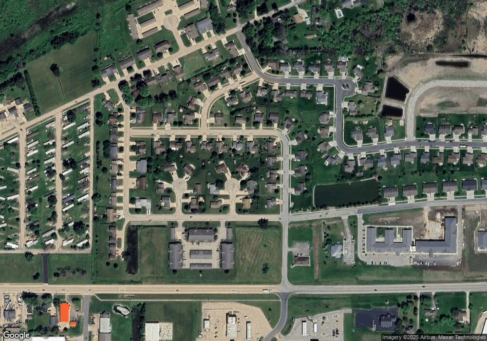
Map
Nearby Homes
- 1741 Jaimee Dr
- 366 Brooke Dr
- 364 Brooke Dr
- 367 Brooke Dr
- 320 Brooke Dr
- 314 Brooke Dr
- 1365-BA Plan at Springview Acres
- 1343-CE Plan at Springview Acres
- 1328-CH Plan at Springview Acres
- 1110 E Main St
- 1860 Justin Dr
- 220 Brooke Dr Unit 1
- 343 Dakota Lee Way
- 768 Konnor Ct
- 831 Annrich Ave
- 610 Tyler Ave
- 131 Madison Ave
- 6059 E Scott St
- 0 Springbrook Rd Unit 1990202
- 330 Jefferson Ave
- 283 Currant Ct
- 268 Currant Ct
- 273 Currant Ct
- 255 Currant Ct
- 252 Currant Ct
- 1720 Jaimee Dr
- 263 Goldenrod Dr
- 273 Goldenrod Dr
- 1708 Jaimee Dr
- 1728 Jaimee Dr
- 283 Goldenrod Dr
- 255 Goldenrod Dr
- 1700 Jaimee Dr
- 278 Arbutus Ct
- 295 Goldenrod Dr
- 268 Arbutus Ct
- 1684 Jaimee Dr
- 273 Arbutus Ct
- 252 Arbutus Ct
- 1684 Huckleberry Ave