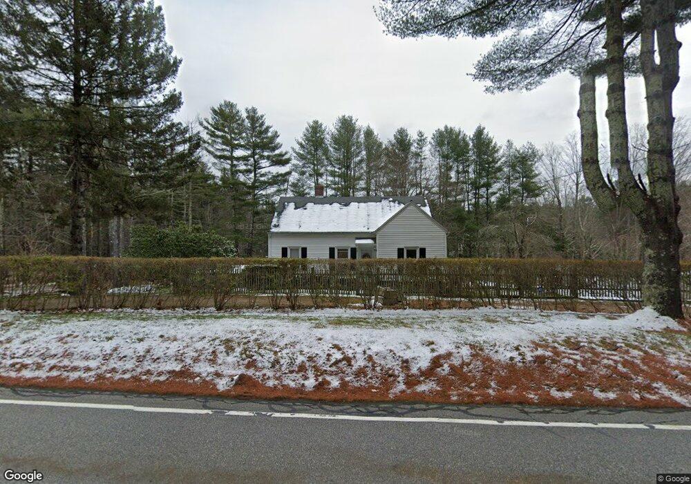
278 Eastford Rd Eastford, CT 06242
Estimated Value: $318,200 - $356,000
3
Beds
1
Bath
1,502
Sq Ft
$225/Sq Ft
Est. Value
About This Home
This home is located at 278 Eastford Rd, Eastford, CT 06242 and is currently estimated at $337,550, approximately $224 per square foot. 278 Eastford Rd is a home located in Windham County with nearby schools including Eastford Elementary School.
Ownership History
Date
Name
Owned For
Owner Type
Purchase Details
Closed on
Mar 18, 2008
Sold by
Safin Paul T
Bought by
Safin Mark W
Current Estimated Value
Home Financials for this Owner
Home Financials are based on the most recent Mortgage that was taken out on this home.
Original Mortgage
$182,800
Outstanding Balance
$113,759
Interest Rate
5.72%
Estimated Equity
$223,791
Create a Home Valuation Report for This Property
The Home Valuation Report is an in-depth analysis detailing your home's value as well as a comparison with similar homes in the area
Home Values in the Area
Average Home Value in this Area
Purchase History
| Date | Buyer | Sale Price | Title Company |
|---|---|---|---|
| Safin Mark W | $35,248 | -- |
Source: Public Records
Mortgage History
| Date | Status | Borrower | Loan Amount |
|---|---|---|---|
| Open | Safin Mark W | $182,800 | |
| Previous Owner | Safin Mark W | $99,000 | |
| Previous Owner | Safin Mark W | $80,000 | |
| Previous Owner | Safin Mark W | $15,000 |
Source: Public Records
Tax History Compared to Growth
Tax History
| Year | Tax Paid | Tax Assessment Tax Assessment Total Assessment is a certain percentage of the fair market value that is determined by local assessors to be the total taxable value of land and additions on the property. | Land | Improvement |
|---|---|---|---|---|
| 2025 | $3,772 | $177,940 | $33,670 | $144,270 |
| 2024 | $3,505 | $177,940 | $33,670 | $144,270 |
| 2023 | $3,100 | $112,730 | $28,800 | $83,930 |
| 2022 | $2,959 | $112,730 | $28,800 | $83,930 |
| 2021 | $2,931 | $112,730 | $28,800 | $83,930 |
| 2020 | $2,887 | $112,730 | $28,800 | $83,930 |
| 2019 | $2,887 | $112,730 | $28,800 | $83,930 |
| 2018 | $2,803 | $107,350 | $26,500 | $80,850 |
| 2017 | $2,803 | $107,350 | $26,500 | $80,850 |
| 2016 | $2,696 | $107,350 | $26,500 | $80,850 |
| 2015 | $2,696 | $107,350 | $26,500 | $80,850 |
| 2014 | $2,662 | $107,350 | $26,500 | $80,850 |
Source: Public Records
Map
Nearby Homes
- Lot 4A Weeks Rd
- 86A County Rd
- 89 John Perry Rd
- 96 Westford Rd
- 0 Boston Turnpike
- 5 Nahaco Hill Ln
- 8 Nahaco Hill Ln
- 140 Ragged Hill Rd
- 402 Perrin Rd
- 698 Brayman Hollow Rd
- 60 Indian Spring Rd
- 77 Lakeside Dr
- 29 General Lyon Rd
- Lot 0 Kozey Rd
- 23 Little Bungee Hill Rd
- 30 Lyon Rd
- 0 Hemlock Dr
- 16 Pilfershire Rd
- 29 Crooked Trail Extension
- 145 Perrin Rd