278 Freeman Rd Denison, TX 75021
Estimated Value: $848,996
Studio
--
Bath
1,792
Sq Ft
$474/Sq Ft
Est. Value
About This Home
This home is located at 278 Freeman Rd, Denison, TX 75021 and is currently estimated at $848,996, approximately $473 per square foot. 278 Freeman Rd is a home located in Grayson County with nearby schools including Terrell Elementary School, Scott Middle School, and Denison High School.
Ownership History
Date
Name
Owned For
Owner Type
Purchase Details
Closed on
Mar 28, 2022
Sold by
Pennell Family Trust
Bought by
Walters Jake and Walters Sarah
Current Estimated Value
Home Financials for this Owner
Home Financials are based on the most recent Mortgage that was taken out on this home.
Original Mortgage
$552,420
Outstanding Balance
$519,819
Interest Rate
4.42%
Mortgage Type
VA
Estimated Equity
$329,177
Purchase Details
Closed on
Sep 30, 2011
Sold by
Dr Don Freeman Living Trust
Bought by
Pennell Carol Edward and Pennell Rebecca Ann
Create a Home Valuation Report for This Property
The Home Valuation Report is an in-depth analysis detailing your home's value as well as a comparison with similar homes in the area
Home Values in the Area
Average Home Value in this Area
Purchase History
| Date | Buyer | Sale Price | Title Company |
|---|---|---|---|
| Walters Jake | -- | Grayson County Title | |
| Pennell Carol Edward | -- | Grayson County Title |
Source: Public Records
Mortgage History
| Date | Status | Borrower | Loan Amount |
|---|---|---|---|
| Open | Walters Jake | $552,420 |
Source: Public Records
Tax History
| Year | Tax Paid | Tax Assessment Tax Assessment Total Assessment is a certain percentage of the fair market value that is determined by local assessors to be the total taxable value of land and additions on the property. | Land | Improvement |
|---|---|---|---|---|
| 2025 | $2,214 | $214,136 | $21,093 | $193,043 |
| 2024 | $3,510 | $217,856 | $0 | $0 |
| 2023 | $1,919 | $198,706 | $0 | $0 |
| 2022 | $3,003 | $174,190 | $10,442 | $163,748 |
| 2021 | $2,669 | $142,724 | $8,832 | $133,892 |
| 2020 | $2,810 | $141,513 | $9,134 | $132,379 |
| 2019 | $3,332 | $157,304 | $7,913 | $149,391 |
| 2018 | $2,880 | $134,538 | $7,135 | $127,403 |
| 2017 | $2,669 | $132,307 | $7,015 | $125,292 |
| 2016 | $2,433 | $124,884 | $7,015 | $117,869 |
| 2015 | $521 | $111,625 | $5,351 | $106,274 |
| 2014 | $492 | $94,560 | $5,353 | $89,207 |
Source: Public Records
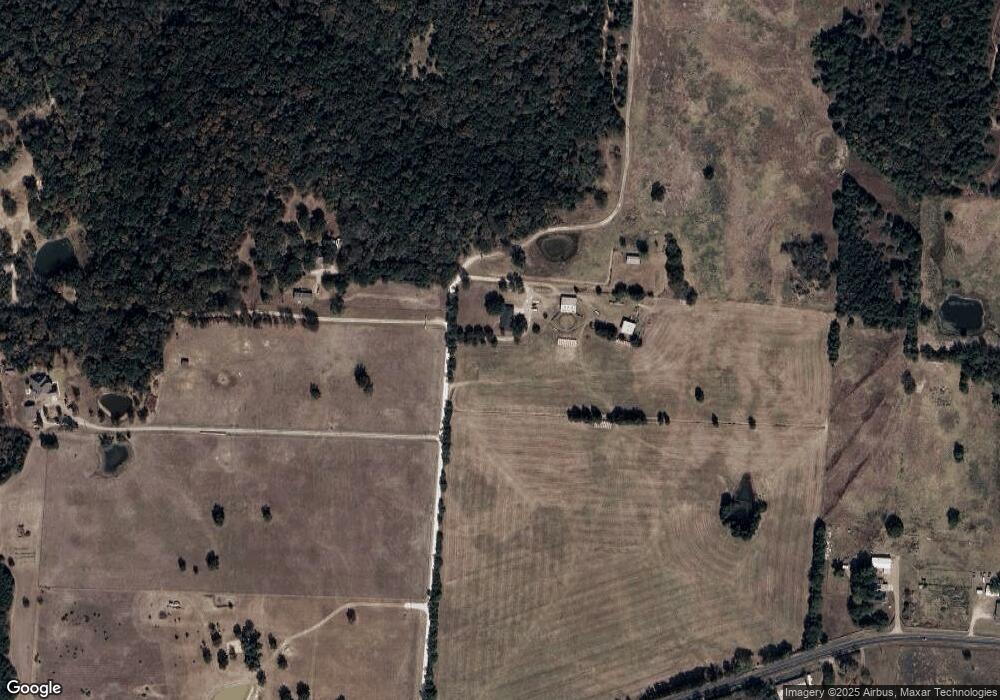
Map
Nearby Homes
- 426 Gun Club Rd
- 194 Middle Rd
- 2550 Farm To Market Road 120
- 1912 E Texas St
- 909 E Sears St
- 1534 E Texas St
- 801 N 8th Ave
- 729 E Sears St
- 727 E Gandy St
- 5.92 Rd
- 708 E Gandy St
- 718 E Crawford St
- 622 E Woodard St
- 618 E Woodard St
- 604 E Morton St
- 417 E Texas St
- TBD E Texas St
- 492 Richerson Rd
- 612 E Gandy St
- 600 E Washington St
- 2 Pelts Dr
- 29 Pelts Dr
- TBD Freeman Rd
- 150 Freeman Rd
- 215 Freeman Rd
- 1505 E Fm 120
- 1482 E Fm 120
- 1551 E Fm 120
- 1106 E Highway 120
- 618 E Fm 120
- 1601 E Fm 120
- 1655 E Fm 120
- 409 Wild Kingdom Rd
- 1700 E Fm 120
- 1680 E Fm 120
- 269 Wild Kingdom Rd
- 212 Wild Kingdom Rd
- 1784 E Fm 120
- 775 E Fm 120
- 234 Wild Kingdom Rd
Your Personal Tour Guide
Ask me questions while you tour the home.