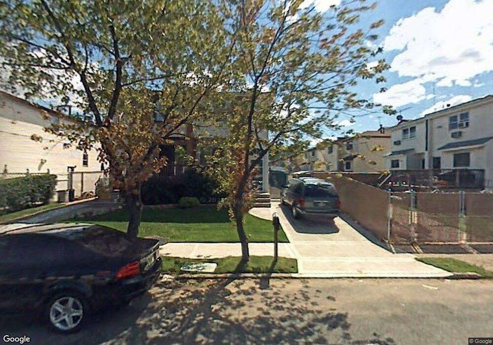
278 Leverett Ave Staten Island, NY 10308
Great Kills NeighborhoodEstimated Value: $634,212 - $740,000
--
Bed
4
Baths
1,376
Sq Ft
$509/Sq Ft
Est. Value
About This Home
This home is located at 278 Leverett Ave, Staten Island, NY 10308 and is currently estimated at $700,053, approximately $508 per square foot. 278 Leverett Ave is a home located in Richmond County with nearby schools including P.S. 32 The Gifford School, I.S. 075 Frank D. Paulo, and Susan E Wagner High School.
Ownership History
Date
Name
Owned For
Owner Type
Purchase Details
Closed on
Jul 12, 2005
Sold by
Livorsi Joseph and Livorsi Lisa
Bought by
Obrien Rhea L
Current Estimated Value
Home Financials for this Owner
Home Financials are based on the most recent Mortgage that was taken out on this home.
Original Mortgage
$312,000
Outstanding Balance
$162,973
Interest Rate
5.67%
Mortgage Type
Fannie Mae Freddie Mac
Estimated Equity
$537,080
Create a Home Valuation Report for This Property
The Home Valuation Report is an in-depth analysis detailing your home's value as well as a comparison with similar homes in the area
Home Values in the Area
Average Home Value in this Area
Purchase History
| Date | Buyer | Sale Price | Title Company |
|---|---|---|---|
| Obrien Rhea L | $390,000 | Hamilton Title Agency Llc |
Source: Public Records
Mortgage History
| Date | Status | Borrower | Loan Amount |
|---|---|---|---|
| Open | Obrien Rhea L | $312,000 |
Source: Public Records
Tax History Compared to Growth
Tax History
| Year | Tax Paid | Tax Assessment Tax Assessment Total Assessment is a certain percentage of the fair market value that is determined by local assessors to be the total taxable value of land and additions on the property. | Land | Improvement |
|---|---|---|---|---|
| 2025 | $5,879 | $38,520 | $6,735 | $31,785 |
| 2024 | $5,891 | $35,760 | $6,845 | $28,915 |
| 2023 | $5,869 | $30,299 | $6,563 | $23,736 |
| 2022 | $5,419 | $32,520 | $7,980 | $24,540 |
| 2021 | $5,515 | $30,420 | $7,980 | $22,440 |
| 2020 | $5,439 | $30,360 | $7,980 | $22,380 |
| 2019 | $5,054 | $30,060 | $7,980 | $22,080 |
| 2018 | $4,849 | $25,249 | $7,300 | $17,949 |
| 2017 | $4,556 | $23,820 | $7,980 | $15,840 |
| 2016 | $4,296 | $23,040 | $7,980 | $15,060 |
| 2015 | $3,783 | $22,578 | $6,543 | $16,035 |
| 2014 | $3,783 | $21,300 | $6,660 | $14,640 |
Source: Public Records
Map
Nearby Homes
- 270 Leverett Ave
- 271 Doane Ave
- 20 Michael Ct
- 200 Giffords Ln
- 234 Brookfield Ave
- 15 Woodland Ave
- 12 Lexington Ln
- 223 Abingdon Ave
- 339 Abingdon Ave
- 248 Abingdon Ave
- 168 Leverett Ave
- 72 Eric Ln
- 63 Genesee Ave
- 360 Barlow Ave Unit 32
- 360 Barlow Ave Unit 12
- 37 E Stroud Ave
- 59 Gibson Ave
- 151 Abingdon Ave
- 919 Armstrong Ave
- 108 Giffords Ln
- 276 Leverett Ave
- 272 Leverett Ave
- 279 Doane Ave
- 277 Doane Ave
- 281 Doane Ave
- 276 Elverton Ave
- 274 Elverton Ave
- 269 Doane Ave
- 270 Elverton Ave
- 267 Doane Ave
- 268 Elverton Ave
- 265 Doane Ave
- 266 Elverton Ave
- 266 Elverton Ave Unit 1-F
- 277 Leverett Ave
- 279 Leverett Ave
- 273 Leverett Ave
- 283 Leverett Ave
- 261 Doane Ave
- 271 Leverett Ave