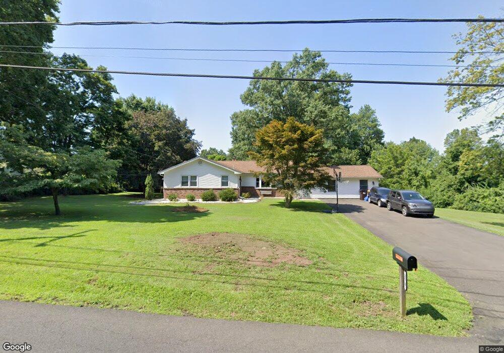
278 Old New Rd Doylestown, PA 18901
Estimated Value: $494,000 - $628,000
3
Beds
2
Baths
1,956
Sq Ft
$289/Sq Ft
Est. Value
About This Home
This home is located at 278 Old New Rd, Doylestown, PA 18901 and is currently estimated at $565,964, approximately $289 per square foot. 278 Old New Rd is a home located in Bucks County with nearby schools including Mill Creek Elementary School, Unami Middle School, and Central Bucks High School - South.
Ownership History
Date
Name
Owned For
Owner Type
Purchase Details
Closed on
Aug 27, 1999
Sold by
Buchany Stephen
Bought by
Bitters Brian L
Current Estimated Value
Home Financials for this Owner
Home Financials are based on the most recent Mortgage that was taken out on this home.
Original Mortgage
$172,850
Outstanding Balance
$49,985
Interest Rate
7.5%
Estimated Equity
$515,979
Purchase Details
Closed on
Aug 30, 1971
Bought by
Buchany Stephen
Create a Home Valuation Report for This Property
The Home Valuation Report is an in-depth analysis detailing your home's value as well as a comparison with similar homes in the area
Home Values in the Area
Average Home Value in this Area
Purchase History
| Date | Buyer | Sale Price | Title Company |
|---|---|---|---|
| Bitters Brian L | $169,000 | -- | |
| Buchany Stephen | -- | -- |
Source: Public Records
Mortgage History
| Date | Status | Borrower | Loan Amount |
|---|---|---|---|
| Open | Bitters Brian L | $172,850 |
Source: Public Records
Tax History Compared to Growth
Tax History
| Year | Tax Paid | Tax Assessment Tax Assessment Total Assessment is a certain percentage of the fair market value that is determined by local assessors to be the total taxable value of land and additions on the property. | Land | Improvement |
|---|---|---|---|---|
| 2025 | $4,998 | $28,240 | $6,800 | $21,440 |
| 2024 | $4,998 | $28,240 | $6,800 | $21,440 |
| 2023 | $4,765 | $28,240 | $6,800 | $21,440 |
| 2022 | $4,712 | $28,240 | $6,800 | $21,440 |
| 2021 | $4,615 | $28,240 | $6,800 | $21,440 |
| 2020 | $4,594 | $28,240 | $6,800 | $21,440 |
| 2019 | $4,545 | $28,240 | $6,800 | $21,440 |
| 2018 | $4,530 | $28,240 | $6,800 | $21,440 |
| 2017 | $4,495 | $28,240 | $6,800 | $21,440 |
| 2016 | $4,467 | $28,240 | $6,800 | $21,440 |
| 2015 | -- | $28,240 | $6,800 | $21,440 |
| 2014 | -- | $28,240 | $6,800 | $21,440 |
Source: Public Records
Map
Nearby Homes
- 20 Woodstone Dr
- 52 Tradesville Dr Unit 83
- Vetri Plan at Doylestown Walk
- 52 Tradesville Dr
- 2 Mill Creek Dr
- 2 Mill Creek Dr Unit 137
- 73 Tradesville Dr
- 73 Tradesville Dr Unit 80
- 6 Mill Creek Dr
- 47 Mill Creek Dr Unit 32
- 47 Mill Creek Dr
- 1 Mill Creek Dr
- 21 Mill Creek Dr Unit 11
- 21 Mill Creek Dr
- 23 Mill Creek Dr
- 25 Mill Creek Dr
- 25 Mill Creek Dr Unit 13
- 1101 Deerfield Ln
- 612 Bethel Ln Unit THE ROOSEVELT PLAN
- 242 Snapdragon St
- 270 Old New Rd
- 286 Old New Rd
- 1567 Lower State Rd
- 264 Old New Rd
- 1553 Lower State Rd
- 71 Brinker Dr
- 291 Old New Rd
- 277 Old New Rd
- 261 Old New Rd
- 1600 Lower State Rd
- 69 Brinker Dr
- 258 Old New Rd
- 1560 Lower State Rd
- 1541 Lower State Rd
- 246 Old New Rd
- 70 Brinker Dr
- 73 Brinker Dr
- 72 Brinker Dr
- 67 Brinker Dr
- 1615 Lower State Rd