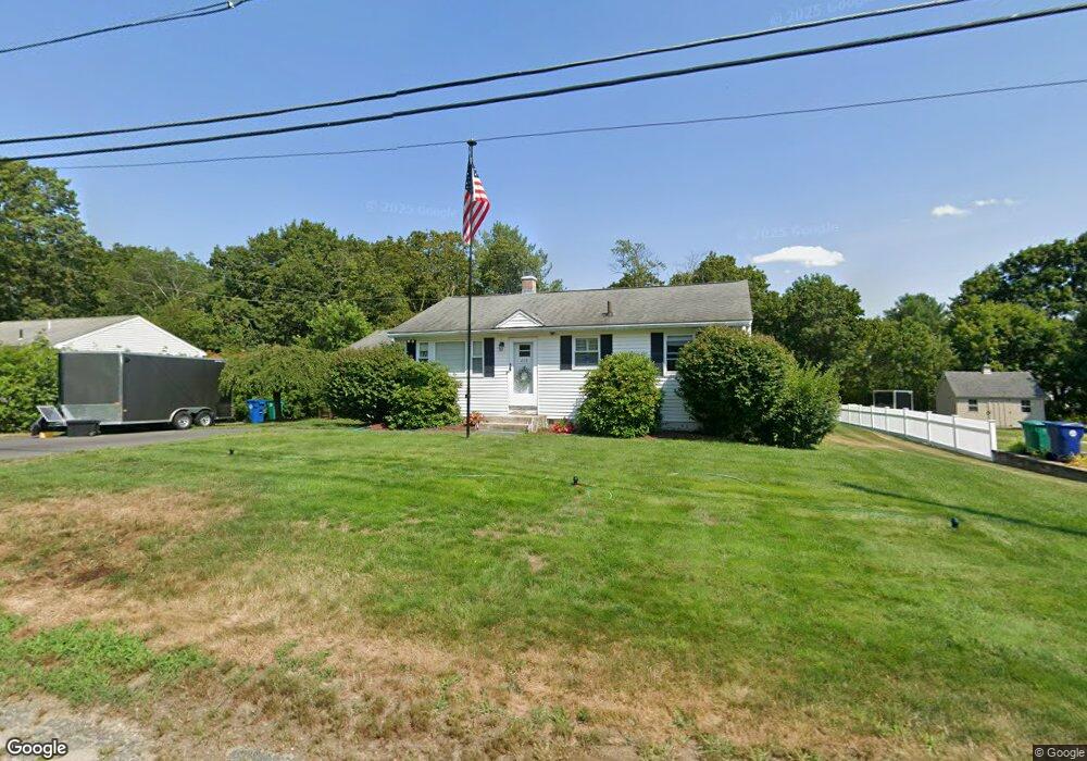
278 Rangeway Rd North Billerica, MA 01862
Estimated Value: $543,000 - $673,000
3
Beds
2
Baths
1,201
Sq Ft
$483/Sq Ft
Est. Value
About This Home
This home is located at 278 Rangeway Rd, North Billerica, MA 01862 and is currently estimated at $580,414, approximately $483 per square foot. 278 Rangeway Rd is a home located in Middlesex County with nearby schools including Billerica Memorial High School and Lighthouse School.
Ownership History
Date
Name
Owned For
Owner Type
Purchase Details
Closed on
Mar 18, 1994
Sold by
Scachetti Nicholas and Scachetti Serafine
Bought by
Mclaughlin Todd and Mclaughlin Annabelle
Current Estimated Value
Home Financials for this Owner
Home Financials are based on the most recent Mortgage that was taken out on this home.
Original Mortgage
$116,100
Interest Rate
6.9%
Mortgage Type
Purchase Money Mortgage
Create a Home Valuation Report for This Property
The Home Valuation Report is an in-depth analysis detailing your home's value as well as a comparison with similar homes in the area
Home Values in the Area
Average Home Value in this Area
Purchase History
| Date | Buyer | Sale Price | Title Company |
|---|---|---|---|
| Mclaughlin Todd | $129,000 | -- |
Source: Public Records
Mortgage History
| Date | Status | Borrower | Loan Amount |
|---|---|---|---|
| Closed | Mclaughlin Todd | $116,100 | |
| Previous Owner | Mclaughlin Todd | $25,000 |
Source: Public Records
Tax History Compared to Growth
Tax History
| Year | Tax Paid | Tax Assessment Tax Assessment Total Assessment is a certain percentage of the fair market value that is determined by local assessors to be the total taxable value of land and additions on the property. | Land | Improvement |
|---|---|---|---|---|
| 2025 | $5,230 | $460,000 | $285,200 | $174,800 |
| 2024 | $4,773 | $422,800 | $258,100 | $164,700 |
| 2023 | $4,515 | $380,400 | $218,800 | $161,600 |
| 2022 | $4,298 | $340,000 | $201,400 | $138,600 |
| 2021 | $4,606 | $320,900 | $188,600 | $132,300 |
| 2020 | $4,072 | $313,500 | $181,200 | $132,300 |
| 2019 | $3,785 | $280,800 | $159,400 | $121,400 |
| 2018 | $3,655 | $257,600 | $147,700 | $109,900 |
| 2017 | $3,393 | $240,800 | $140,900 | $99,900 |
| 2016 | $3,382 | $239,200 | $139,300 | $99,900 |
| 2015 | $3,287 | $234,100 | $134,200 | $99,900 |
| 2014 | $3,231 | $226,100 | $126,200 | $99,900 |
Source: Public Records
Map
Nearby Homes
- 13 Westgate Rd
- 360 Boston Rd
- 218 Rangeway Rd Unit 261
- 14 Belmont Dr
- 216 Rangeway Rd Unit 114
- Map29-14-1 Rangeway Rd
- 28 Savoy St
- 21 Shedd Rd
- 1 Kenwood St
- 15 Blades Cir
- 19 Shedd Rd
- 175 Mill Rd
- 162 Mill Rd Unit 162A
- 66 Mill Rd
- 1 Kay's Walk
- 1 Kay's Walk Unit 1
- 13 Kay's Walk
- 3 Kay's Walk Unit 3
- 3 Kay's Walk
- 15 Kay's Walk Unit 4