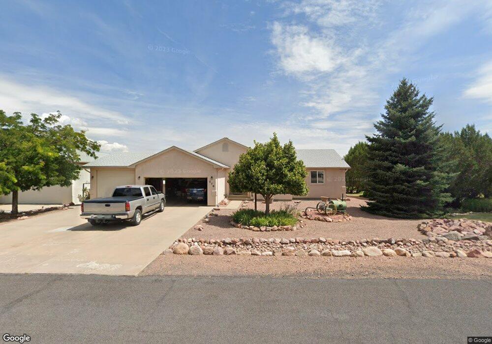
278 Savage Loop Canon City, CO 81212
Estimated Value: $590,000 - $639,000
3
Beds
3
Baths
3,796
Sq Ft
$160/Sq Ft
Est. Value
About This Home
This home is located at 278 Savage Loop, Canon City, CO 81212 and is currently estimated at $605,758, approximately $159 per square foot. 278 Savage Loop is a home with nearby schools including Lincoln School of Science & Technology, Canon City Middle School, and Canon City High School.
Ownership History
Date
Name
Owned For
Owner Type
Purchase Details
Closed on
May 27, 2005
Sold by
Hauber Richard A
Bought by
Simonton Robert L and Simonton Merrilee
Current Estimated Value
Home Financials for this Owner
Home Financials are based on the most recent Mortgage that was taken out on this home.
Original Mortgage
$191,200
Outstanding Balance
$96,522
Interest Rate
5.25%
Mortgage Type
Adjustable Rate Mortgage/ARM
Estimated Equity
$509,236
Purchase Details
Closed on
Aug 4, 1999
Sold by
Cornella Brothers Inc
Bought by
Hauber
Purchase Details
Closed on
Mar 4, 1999
Sold by
Tezak
Bought by
Cornella Brothers Inc
Purchase Details
Closed on
Apr 1, 1997
Sold by
Tezak
Bought by
Tezak
Create a Home Valuation Report for This Property
The Home Valuation Report is an in-depth analysis detailing your home's value as well as a comparison with similar homes in the area
Home Values in the Area
Average Home Value in this Area
Purchase History
| Date | Buyer | Sale Price | Title Company |
|---|---|---|---|
| Simonton Robert L | $239,000 | Stewart Title | |
| Hauber | $187,800 | -- | |
| Cornella Brothers Inc | $31,000 | -- | |
| Tezak | -- | -- |
Source: Public Records
Mortgage History
| Date | Status | Borrower | Loan Amount |
|---|---|---|---|
| Open | Simonton Robert L | $191,200 |
Source: Public Records
Tax History Compared to Growth
Tax History
| Year | Tax Paid | Tax Assessment Tax Assessment Total Assessment is a certain percentage of the fair market value that is determined by local assessors to be the total taxable value of land and additions on the property. | Land | Improvement |
|---|---|---|---|---|
| 2024 | $2,332 | $36,716 | $0 | $0 |
| 2023 | $2,332 | $33,032 | $0 | $0 |
| 2022 | $2,151 | $31,736 | $0 | $0 |
| 2021 | $2,157 | $32,649 | $0 | $0 |
| 2020 | $1,691 | $27,281 | $0 | $0 |
| 2019 | $1,670 | $27,281 | $0 | $0 |
| 2018 | $1,510 | $24,945 | $0 | $0 |
| 2017 | $1,406 | $24,945 | $0 | $0 |
| 2016 | $1,234 | $24,820 | $0 | $0 |
| 2015 | $1,814 | $24,820 | $0 | $0 |
| 2012 | $1,784 | $25,626 | $3,980 | $21,646 |
Source: Public Records
Map
Nearby Homes
- 200 Wolf Cub Trail
- 206 Wolf Cub Trail
- 265 Pelage Ct
- 207 Savage Loop
- TBD Forge Rd
- 1751 Forge Rd
- 133 Blue Grouse Dr
- 121 Mourning Dove Dr
- 159 Blue Grouse Dr
- 29 Kyndra Ct
- 98 Wild Rose Dr
- TBD Wild Rose Dr
- 58 Wild Rose Dr
- 147 Mourning Dove Dr
- 105 Bobwhite Loop
- 123 Wild Rose Dr
- 311 Bellows Ct
- 306 Bellows Ct
- 28 Eagle Crest Dr
- 46 Wild Rose Dr
- 115 Gere Ct
- 269 Savage Loop
- 244 Wolf Cub Trail
- 110 Gere Ct
- 281 Savage Loop
- 236 Wolf Cub Trail
- 123 Gere Ct
- 255 Savage Loop
- 228 Wolf Cub Trail
- 118 Gere Ct
- 295 Savage Loop
- 138 Gere Ct
- 220 Wolf Cub Trail
- 245 Wolf Cub Trail
- 299 Savage Loop
- 239 Wolf Cub Trail
- 49 Luna Ct
- 105 Shiloh Dr
- 131 Gere Ct
- 231 Wolf Cub Trail