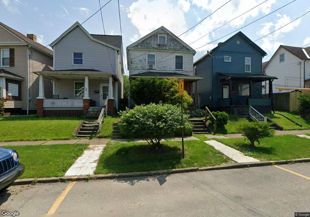
278 Sherman Ave Vandergrift, PA 15690
Estimated Value: $69,000 - $124,000
Studio
--
Bath
--
Sq Ft
2,744
Sq Ft Lot
About This Home
This home is located at 278 Sherman Ave, Vandergrift, PA 15690 and is currently estimated at $97,622. 278 Sherman Ave is a home located in Westmoreland County with nearby schools including Kiski Area High School.
Ownership History
Date
Name
Owned For
Owner Type
Purchase Details
Closed on
Jun 15, 2004
Sold by
Ewrin Keith D and Ewin Laurie L
Bought by
Ban Falicia and Ruggeri Brad
Current Estimated Value
Home Financials for this Owner
Home Financials are based on the most recent Mortgage that was taken out on this home.
Original Mortgage
$54,400
Outstanding Balance
$30,146
Interest Rate
8.65%
Mortgage Type
Purchase Money Mortgage
Estimated Equity
$67,476
Purchase Details
Closed on
Feb 7, 2001
Sold by
Lasalle Bank
Bought by
Erwin Keith D and Erwin Laurie L
Create a Home Valuation Report for This Property
The Home Valuation Report is an in-depth analysis detailing your home's value as well as a comparison with similar homes in the area
Home Values in the Area
Average Home Value in this Area
Purchase History
| Date | Buyer | Sale Price | Title Company |
|---|---|---|---|
| Ban Falicia | $45,000 | -- | |
| Erwin Keith D | $18,000 | -- |
Source: Public Records
Mortgage History
| Date | Status | Borrower | Loan Amount |
|---|---|---|---|
| Open | Ban Falicia | $54,400 |
Source: Public Records
Tax History
| Year | Tax Paid | Tax Assessment Tax Assessment Total Assessment is a certain percentage of the fair market value that is determined by local assessors to be the total taxable value of land and additions on the property. | Land | Improvement |
|---|---|---|---|---|
| 2026 | $1,383 | $8,270 | $1,680 | $6,590 |
| 2025 | $1,349 | $8,270 | $1,680 | $6,590 |
| 2024 | $1,285 | $8,270 | $1,680 | $6,590 |
| 2023 | $1,183 | $8,270 | $1,680 | $6,590 |
| 2022 | $1,159 | $8,270 | $1,680 | $6,590 |
| 2021 | $1,159 | $8,270 | $1,680 | $6,590 |
| 2020 | $1,156 | $8,270 | $1,680 | $6,590 |
| 2019 | $1,152 | $8,270 | $1,680 | $6,590 |
| 2018 | $1,135 | $8,270 | $1,680 | $6,590 |
| 2017 | $1,111 | $8,270 | $1,680 | $6,590 |
| 2016 | $1,095 | $8,270 | $1,680 | $6,590 |
| 2015 | $1,095 | $8,270 | $1,680 | $6,590 |
| 2014 | $1,090 | $8,270 | $1,680 | $6,590 |
Source: Public Records
Map
Nearby Homes
- 247 Sherman Ave
- 219 Quay St
- 225 Mckinley Ave
- 1116 Grant St
- 250 Kennedy Ave
- 166 Grant Ave
- 112 Farragut Ave Unit 3
- 137 Sherman Ave
- 133 Sherman Ave
- 109 Washington Ave
- 419 Vandergrift Ln
- 109 E Adams Ave
- 1252 Jefferson St
- 2106 River Rd
- 608 Kennedy Ave
- 510 Franklin Ave
- 322 Chestnut St
- 1212 Gravel Bar Rd
- 311 Elm St
- 712 16th St
Your Personal Tour Guide
Ask me questions while you tour the home.