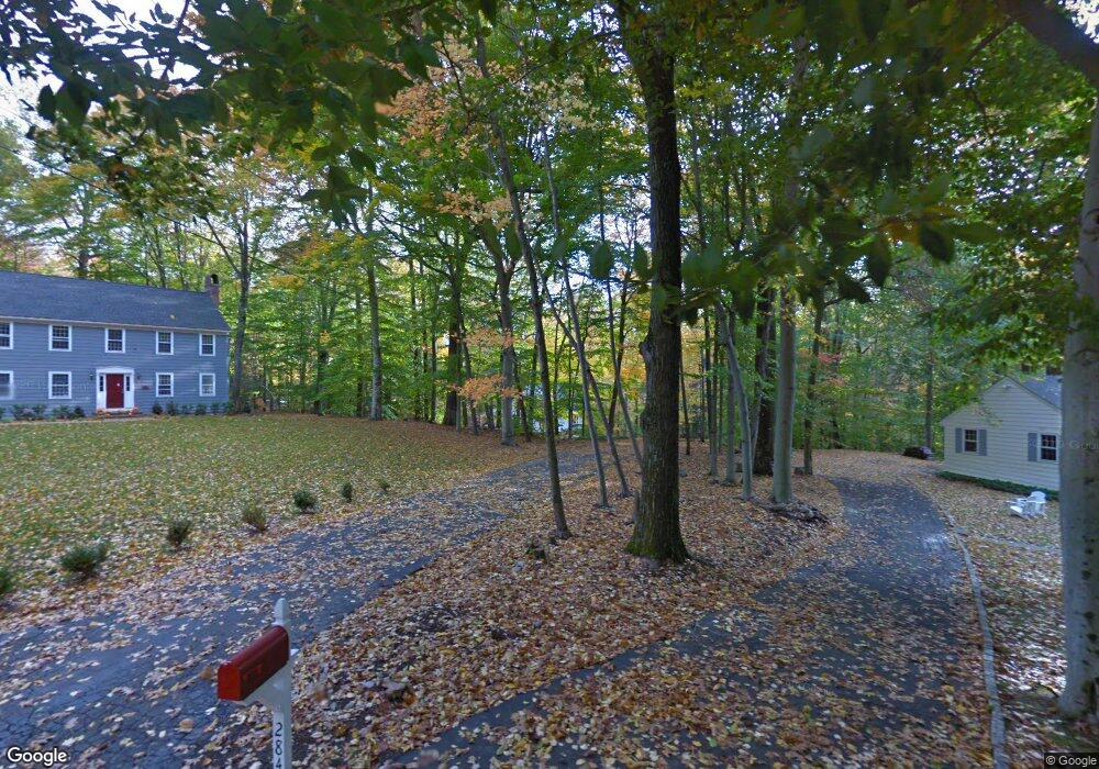
278 Whiting Pond Rd Fairfield, CT 06824
Greenfield Hill NeighborhoodEstimated Value: $1,036,000 - $1,127,000
4
Beds
3
Baths
2,328
Sq Ft
$466/Sq Ft
Est. Value
About This Home
This home is located at 278 Whiting Pond Rd, Fairfield, CT 06824 and is currently estimated at $1,085,760, approximately $466 per square foot. 278 Whiting Pond Rd is a home located in Fairfield County with nearby schools including Burr Elementary School, Tomlinson Middle School, and Fairfield Warde High School.
Ownership History
Date
Name
Owned For
Owner Type
Purchase Details
Closed on
Jul 2, 1996
Sold by
Santangelo Thomas J and Santangelo Carmela T
Bought by
Longley John H and Longley Virginia P
Current Estimated Value
Home Financials for this Owner
Home Financials are based on the most recent Mortgage that was taken out on this home.
Original Mortgage
$294,500
Interest Rate
8.05%
Mortgage Type
Unknown
Purchase Details
Closed on
Jul 11, 1988
Sold by
Bachand Gregory N
Bought by
Santangelo Carmela T
Create a Home Valuation Report for This Property
The Home Valuation Report is an in-depth analysis detailing your home's value as well as a comparison with similar homes in the area
Home Values in the Area
Average Home Value in this Area
Purchase History
| Date | Buyer | Sale Price | Title Company |
|---|---|---|---|
| Longley John H | $347,000 | -- | |
| Longley John H | $347,000 | -- | |
| Santangelo Carmela T | $345,000 | -- |
Source: Public Records
Mortgage History
| Date | Status | Borrower | Loan Amount |
|---|---|---|---|
| Open | Santangelo Carmela T | $272,739 | |
| Closed | Santangelo Carmela T | $294,500 |
Source: Public Records
Tax History Compared to Growth
Tax History
| Year | Tax Paid | Tax Assessment Tax Assessment Total Assessment is a certain percentage of the fair market value that is determined by local assessors to be the total taxable value of land and additions on the property. | Land | Improvement |
|---|---|---|---|---|
| 2025 | $12,772 | $449,890 | $256,480 | $193,410 |
| 2024 | $12,552 | $449,890 | $256,480 | $193,410 |
| 2023 | $12,376 | $449,890 | $256,480 | $193,410 |
| 2022 | $12,255 | $449,890 | $256,480 | $193,410 |
| 2021 | $12,138 | $449,890 | $256,480 | $193,410 |
| 2020 | $11,976 | $447,020 | $247,310 | $199,710 |
| 2019 | $11,976 | $447,020 | $247,310 | $199,710 |
| 2018 | $11,783 | $447,020 | $247,310 | $199,710 |
| 2017 | $11,542 | $447,020 | $247,310 | $199,710 |
| 2016 | $11,377 | $447,020 | $247,310 | $199,710 |
| 2015 | $11,981 | $483,280 | $290,640 | $192,640 |
| 2014 | $11,792 | $483,280 | $290,640 | $192,640 |
Source: Public Records
Map
Nearby Homes
- 2015 Redding Rd
- 2281 Redding Rd
- 3853 Congress St
- 22 Brett Rd
- 4800 Congress St
- 480 Riders Ln
- 158 Coventry Ln
- 180 Catamount Rd
- 2425 Merwins Ln
- 101 Brambley Hedge Cir
- 88 Merry Meet Cir
- 212 Fence Row Dr
- 2959 Congress St
- 2190 Sturges Hwy
- 342 Midlock Rd
- 312 Towne House Rd
- 2492 Congress St
- 109 Buckboard Ln
- 2775 North St
- 99 Old Academy Rd
- 2058 Redding Rd
- 284 Whiting Pond Rd
- 273 Whiting Pond Rd
- 2142 Redding Rd
- 260 Whiting Pond Rd
- 2036 Redding Rd
- 2080 Redding Rd
- 245 Whiting Pond Rd
- 2124 Redding Rd
- 2170 Redding Rd
- 2200 Redding Rd
- 1992 Redding Rd
- 236 Whiting Pond Rd
- 208 Whiting Pond Rd
- 2232 Redding Rd
- 2031 Redding Rd Unit Cottage
- 171 Whiting Pond Rd
- 2101 Redding Rd
- 137 Whiting Pond Rd
- 2211 Redding Rd