2780 Evon Rd Saginaw, MI 48601
Estimated Value: $100,000 - $149,000
--
Bed
1
Bath
1,008
Sq Ft
$125/Sq Ft
Est. Value
About This Home
This home is located at 2780 Evon Rd, Saginaw, MI 48601 and is currently estimated at $125,546, approximately $124 per square foot. 2780 Evon Rd is a home located in Saginaw County with nearby schools including Thomas White School, Martin G. Atkins Elementary School, and Bridgeport High School.
Ownership History
Date
Name
Owned For
Owner Type
Purchase Details
Closed on
Jun 5, 2009
Sold by
Smith Elmer D and Smith Juanita J
Bought by
Mcdole Ann
Current Estimated Value
Purchase Details
Closed on
Dec 28, 2001
Sold by
Strzynski Kevin D and Strzynski Ann
Bought by
Strzynski Kevin D and Strzynski Ann
Home Financials for this Owner
Home Financials are based on the most recent Mortgage that was taken out on this home.
Original Mortgage
$93,750
Interest Rate
6.7%
Mortgage Type
Purchase Money Mortgage
Create a Home Valuation Report for This Property
The Home Valuation Report is an in-depth analysis detailing your home's value as well as a comparison with similar homes in the area
Home Values in the Area
Average Home Value in this Area
Purchase History
| Date | Buyer | Sale Price | Title Company |
|---|---|---|---|
| Mcdole Ann | -- | -- | |
| Strzynski Kevin D | -- | -- |
Source: Public Records
Mortgage History
| Date | Status | Borrower | Loan Amount |
|---|---|---|---|
| Previous Owner | Strzynski Kevin D | $93,750 |
Source: Public Records
Tax History Compared to Growth
Tax History
| Year | Tax Paid | Tax Assessment Tax Assessment Total Assessment is a certain percentage of the fair market value that is determined by local assessors to be the total taxable value of land and additions on the property. | Land | Improvement |
|---|---|---|---|---|
| 2025 | $1,815 | $59,200 | $0 | $0 |
| 2024 | $515 | $55,900 | $0 | $0 |
| 2023 | $491 | $53,200 | $0 | $0 |
| 2022 | $1,388 | $43,800 | $0 | $0 |
| 2021 | $1,269 | $41,300 | $0 | $0 |
| 2020 | $1,072 | $40,400 | $0 | $0 |
| 2019 | $1,024 | $36,600 | $5,000 | $31,600 |
| 2018 | $361 | $34,650 | $0 | $0 |
| 2017 | $926 | $33,900 | $0 | $0 |
| 2016 | $965 | $31,950 | $0 | $0 |
| 2014 | -- | $32,250 | $0 | $30,250 |
| 2013 | -- | $33,550 | $0 | $0 |
Source: Public Records
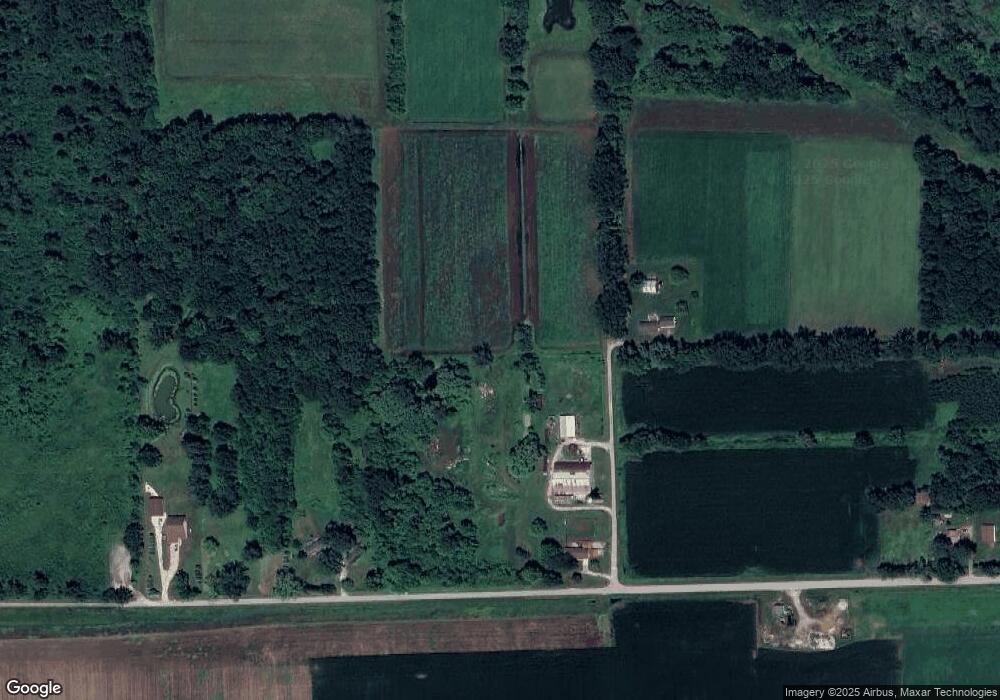
Map
Nearby Homes
- 5665 East Rd
- 5126 Youngstown Place
- 5521 Cole Rd
- 1891 W Moore Rd
- 1865 W Moore Rd
- 3933 East St
- 1321 Ruby Ann Dr
- 1906 Banner Rd
- 6493 Mower Rd
- 4365 Jo Dr
- 5651 Sheridan Rd
- 3930 S Washington Rd
- 3308 Douglass St
- 1374 E Moore Rd
- 3137 S Washington Ave
- 1531 Gilbert St
- 3006 Douglass St
- 2500 Salt St
- 1517 Stanley St
- 2105 Williamson Rd