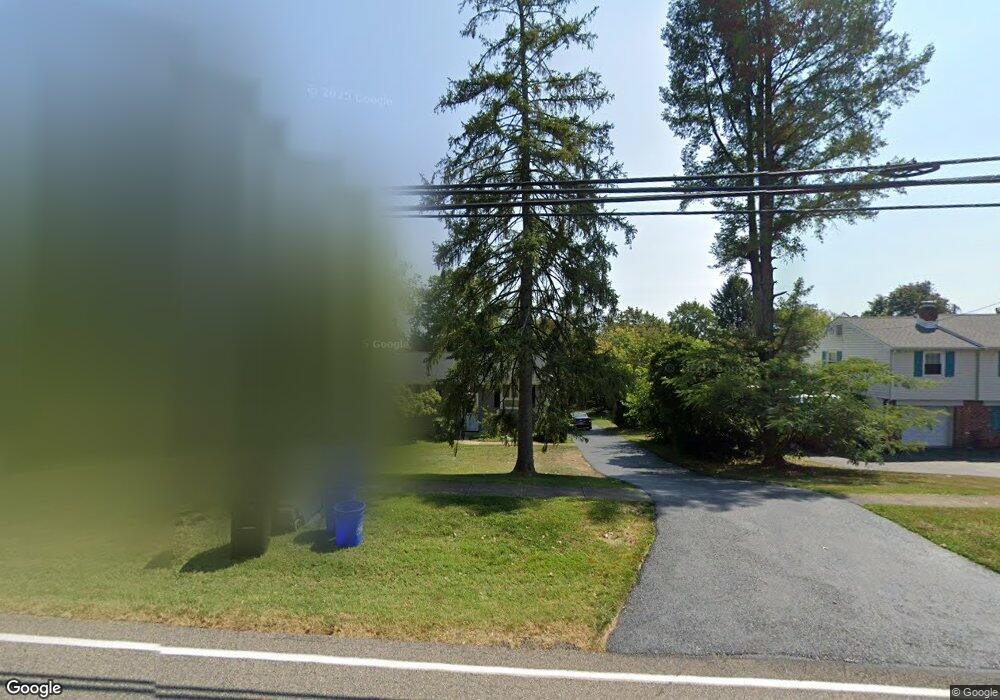
2780 Lenni Rd Aston, PA 19014
Estimated Value: $452,000 - $519,000
3
Beds
3
Baths
1,907
Sq Ft
$259/Sq Ft
Est. Value
About This Home
This home is located at 2780 Lenni Rd, Aston, PA 19014 and is currently estimated at $494,405, approximately $259 per square foot. 2780 Lenni Rd is a home located in Delaware County with nearby schools including St. Thomas Apostle School.
Ownership History
Date
Name
Owned For
Owner Type
Purchase Details
Closed on
Apr 15, 2019
Sold by
Vance Noel J
Bought by
Vance Noel J and Vance Sheri E
Current Estimated Value
Home Financials for this Owner
Home Financials are based on the most recent Mortgage that was taken out on this home.
Original Mortgage
$196,000
Outstanding Balance
$171,256
Interest Rate
4%
Mortgage Type
New Conventional
Estimated Equity
$323,149
Purchase Details
Closed on
Sep 8, 2011
Sold by
Vance Noel J and Vance Laurie L
Bought by
Vance Noel J
Create a Home Valuation Report for This Property
The Home Valuation Report is an in-depth analysis detailing your home's value as well as a comparison with similar homes in the area
Home Values in the Area
Average Home Value in this Area
Purchase History
| Date | Buyer | Sale Price | Title Company |
|---|---|---|---|
| Vance Noel J | -- | First American Title Ins Co | |
| Vance Noel J | -- | None Available |
Source: Public Records
Mortgage History
| Date | Status | Borrower | Loan Amount |
|---|---|---|---|
| Open | Vance Noel J | $196,000 |
Source: Public Records
Tax History Compared to Growth
Tax History
| Year | Tax Paid | Tax Assessment Tax Assessment Total Assessment is a certain percentage of the fair market value that is determined by local assessors to be the total taxable value of land and additions on the property. | Land | Improvement |
|---|---|---|---|---|
| 2025 | $7,860 | $302,880 | $100,700 | $202,180 |
| 2024 | $7,860 | $302,880 | $100,700 | $202,180 |
| 2023 | $7,507 | $302,880 | $100,700 | $202,180 |
| 2022 | $7,239 | $302,880 | $100,700 | $202,180 |
| 2021 | $11,171 | $302,880 | $100,700 | $202,180 |
| 2020 | $5,388 | $131,920 | $59,530 | $72,390 |
| 2019 | $5,284 | $131,920 | $59,530 | $72,390 |
| 2018 | $5,060 | $131,920 | $0 | $0 |
| 2017 | $4,953 | $131,920 | $0 | $0 |
| 2016 | $724 | $131,920 | $0 | $0 |
| 2015 | $724 | $131,920 | $0 | $0 |
| 2014 | $724 | $131,920 | $0 | $0 |
Source: Public Records
Map
Nearby Homes
- 1605 Country Ln
- 47 Bishop Dr
- 183 Bishop Dr
- 103 Valleybrook Rd
- 346 Lenni Rd
- 4301 Aston Mills Rd
- 2721 Mount Rd
- 116 Ivy Mills Rd
- 277 W Baltimore Pike
- 9 Ivy Ln
- 234 Elm Ave
- 505 Schick Rd
- 117 Segel Dr
- 20 Highland Dr
- 41 Hutton Ln
- 268 Miley Rd Unit 268
- 6107 Lydia Hollow Dr Unit 6107
- 65 Pole Cat Rd
- 242 Moria Place
- 2202 Lydia Hollow Dr Unit A1