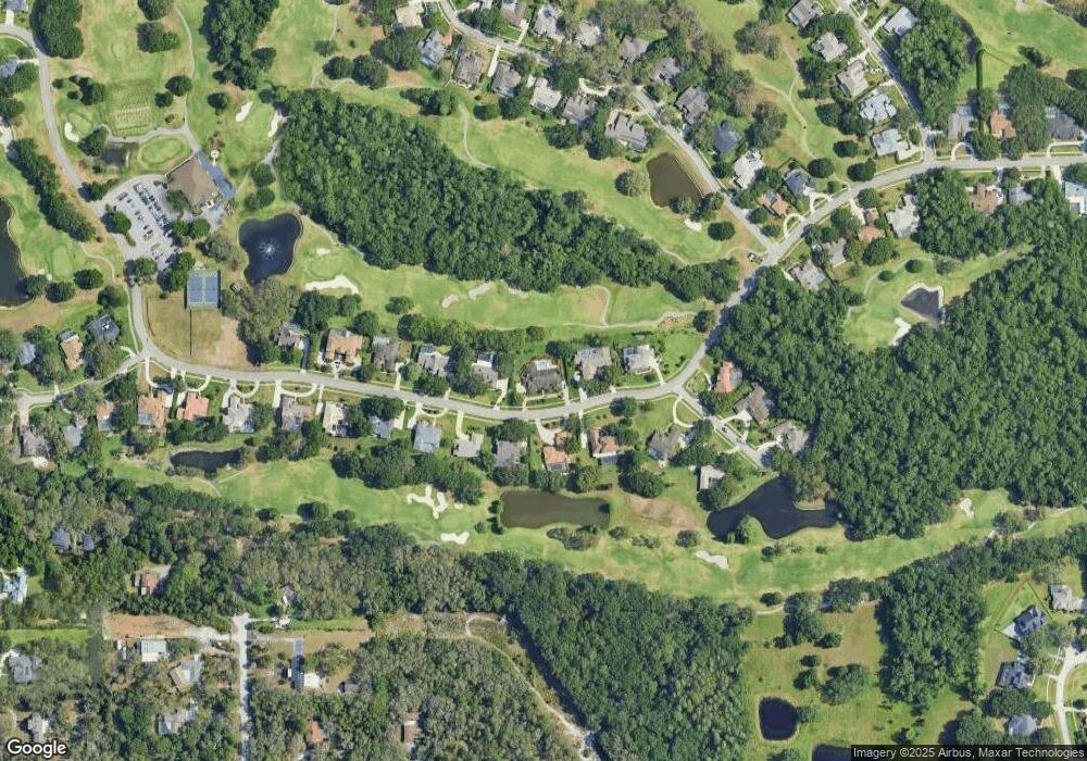
2781 Saint Andrews Blvd Tarpon Springs, FL 34688
Estimated Value: $991,226 - $1,312,000
--
Bed
--
Bath
4,782
Sq Ft
$238/Sq Ft
Est. Value
About This Home
This home is located at 2781 Saint Andrews Blvd, Tarpon Springs, FL 34688 and is currently estimated at $1,138,057, approximately $237 per square foot. 2781 Saint Andrews Blvd is a home located in Pinellas County with nearby schools including Brooker Creek Elementary School, East Lake High School, and Tarpon Springs Middle School.
Ownership History
Date
Name
Owned For
Owner Type
Purchase Details
Closed on
Jul 28, 2022
Sold by
Sgroi Jr Ralph O and Sgroi Jennifer Laura
Bought by
Sgroi Steven J and Sgroi Mark Tracy
Current Estimated Value
Purchase Details
Closed on
Sep 29, 1999
Sold by
Christine Richard J and Christine T Romanek S
Bought by
Sgroi Ralph and Sgroi Laura
Create a Home Valuation Report for This Property
The Home Valuation Report is an in-depth analysis detailing your home's value as well as a comparison with similar homes in the area
Home Values in the Area
Average Home Value in this Area
Purchase History
| Date | Buyer | Sale Price | Title Company |
|---|---|---|---|
| Sgroi Steven J | $100 | Ortiz Phillip A | |
| Sgroi Ralph O | $100 | None Listed On Document | |
| Sgroi Ralph | $365,000 | -- |
Source: Public Records
Mortgage History
| Date | Status | Borrower | Loan Amount |
|---|---|---|---|
| Previous Owner | Sgroi Ralph | $80,000 |
Source: Public Records
Tax History Compared to Growth
Tax History
| Year | Tax Paid | Tax Assessment Tax Assessment Total Assessment is a certain percentage of the fair market value that is determined by local assessors to be the total taxable value of land and additions on the property. | Land | Improvement |
|---|---|---|---|---|
| 2024 | $8,020 | $487,380 | -- | -- |
| 2023 | $8,020 | $473,184 | $0 | $0 |
| 2022 | $7,813 | $459,402 | $0 | $0 |
| 2021 | $7,921 | $446,021 | $0 | $0 |
| 2020 | $7,910 | $439,863 | $0 | $0 |
| 2019 | $7,789 | $429,974 | $0 | $0 |
| 2018 | $7,696 | $421,957 | $0 | $0 |
| 2017 | $7,643 | $413,278 | $0 | $0 |
| 2016 | $7,591 | $404,778 | $0 | $0 |
| 2015 | $7,704 | $401,964 | $0 | $0 |
| 2014 | $7,672 | $398,774 | $0 | $0 |
Source: Public Records
Map
Nearby Homes
- 632 Royal Dornock Ct
- 1008 Royal Birkdale Dr
- 490 Silver Moss Ln
- 414 Westgate Rd
- 2639 Royal Liverpool Dr
- 1093 Muirfield Ct
- 2595 Royal Liverpool Dr
- 2947 Cedar Trace
- 1003 Berkshire Ln
- 712 Estates Blvd
- 3031 Cedar Trace
- 249 Dogwood Trace
- 1252 E Lake Dr
- 211 Rue Des Chateaux
- 1033 Hammock Cir
- 1230 Berkshire Ln
- 0 Old Lake E
- 2271 Keystone Rd
- 1130 Kings Way Ln
- 1115 Kings Way Ln
- 0 St Andrews Blvd Unit U7607187
- 2797 Saint Andrews Blvd
- 2796 Saint Andrews Blvd
- 2778 Saint Andrews Blvd
- 2810 Saint Andrews Blvd
- 2755 Saint Andrews Blvd
- 2770 Saint Andrews Blvd
- 2811 St Andrews Blvd
- 2756 St Andrews Blvd
- 2756 Saint Andrews Blvd
- 680 Turnberry Ct
- 2741 Saint Andrews Blvd
- 2742 Saint Andrews Blvd
- 681 Turnberry Ct
- 644 Turnberry Ct
- 2725 Saint Andrews Blvd
- 2726 Saint Andrews Blvd
- 2715 Saint Andrews Blvd
- 2716 Saint Andrews Blvd
- 868 Royal Birkdale Dr Unit 1
