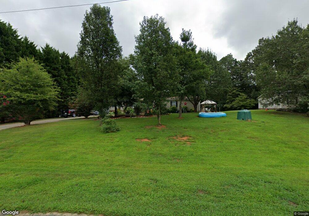
2782 Wingtip Ct Iron Station, NC 28080
Estimated Value: $217,000 - $327,000
3
Beds
2
Baths
1,944
Sq Ft
$139/Sq Ft
Est. Value
About This Home
This home is located at 2782 Wingtip Ct, Iron Station, NC 28080 and is currently estimated at $269,333, approximately $138 per square foot. 2782 Wingtip Ct is a home located in Lincoln County with nearby schools including Iron Station Elementary School, East Lincoln Middle School, and East Lincoln High School.
Ownership History
Date
Name
Owned For
Owner Type
Purchase Details
Closed on
Aug 3, 2018
Sold by
Lutz C Dean C and Lutz Ginger V
Bought by
Cdl Housing Llc
Current Estimated Value
Purchase Details
Closed on
Jun 25, 2004
Bought by
Lutz Clyde Dean and Ginger Voyles Lut
Purchase Details
Closed on
Nov 13, 2003
Bought by
Primestar Properties Inc
Purchase Details
Closed on
Jun 9, 1999
Bought by
Gillespie Derek D and Gillespie Elizabeth L
Create a Home Valuation Report for This Property
The Home Valuation Report is an in-depth analysis detailing your home's value as well as a comparison with similar homes in the area
Purchase History
| Date | Buyer | Sale Price | Title Company |
|---|---|---|---|
| Cdl Housing Llc | -- | None Available | |
| Lutz Clyde Dean | $21,000 | -- | |
| Primestar Properties Inc | $41,000 | -- | |
| Gillespie Derek D | $31,000 | -- |
Source: Public Records
Tax History
| Year | Tax Paid | Tax Assessment Tax Assessment Total Assessment is a certain percentage of the fair market value that is determined by local assessors to be the total taxable value of land and additions on the property. | Land | Improvement |
|---|---|---|---|---|
| 2025 | $1,072 | $150,582 | $30,673 | $119,909 |
| 2024 | $1,052 | $150,582 | $30,673 | $119,909 |
| 2023 | $1,027 | $150,582 | $30,673 | $119,909 |
| 2022 | $827 | $96,778 | $24,744 | $72,034 |
| 2021 | $827 | $96,778 | $24,744 | $72,034 |
| 2020 | $692 | $96,778 | $24,744 | $72,034 |
| 2019 | $692 | $96,778 | $24,744 | $72,034 |
| 2018 | $729 | $86,351 | $22,378 | $63,973 |
| 2017 | $628 | $86,351 | $22,378 | $63,973 |
| 2016 | $628 | $86,351 | $22,378 | $63,973 |
| 2015 | $702 | $86,351 | $22,378 | $63,973 |
| 2014 | $776 | $97,902 | $24,790 | $73,112 |
Source: Public Records
Map
Nearby Homes
- 821 Latrobe Dr
- 4242 John Ritchie Rd
- 1987 & 1981 Magnolia Grove Rd
- 1371 Alexis High Shoals Rd
- 1481 Depot St
- 1279 Craig Dr
- 4394 Mountain Creek Rd
- 6 Hager Mountain Ln
- 4435 Cornett Dr
- 3132 Fox Den Cir
- 1259 Hardin Rd
- 162 Terry Lane Dr
- 1222 Hardin Rd
- 0001 Mayberry Rd
- 5013 Angelina Dr
- 4106 Olga Ct
- 914 Spring Lake Dr
- 324 Old Hardin Rd
- 325 Holly Ridge Rd
- 310 Old Hardin Rd
- 2774 Wingtip Ct
- 2486 Longneck Dr
- 2494 Longneck Dr
- 2797 Wingtip Ct
- 2767 Wingtip Ct
- 2771 Wingtip Ct
- 2783 Wingtip Ct
- 2793 Wingtip Ct
- 2509 Longneck Dr
- 2457 Longneck Dr
- 2522 Longneck Dr
- 2471 Longneck Dr
- 2479 Longneck Dr
- 2441 Longneck Dr
- 2525 Longneck Dr
- 2420 Longneck Dr
- 2534 Longneck Dr
- 2420 Long Neck Dr
- 2909 Amethyst Ln
- 2537 Longneck Dr
Your Personal Tour Guide
Ask me questions while you tour the home.