27829 133rd St Lees Summit, MO 64086
Estimated Value: $542,000 - $592,000
3
Beds
4
Baths
2,518
Sq Ft
$225/Sq Ft
Est. Value
About This Home
This home is located at 27829 133rd St, Lees Summit, MO 64086 and is currently estimated at $567,153, approximately $225 per square foot. 27829 133rd St is a home with nearby schools including Woodland Elementary School, Pleasant Lea Middle School, and Lee's Summit Senior High School.
Ownership History
Date
Name
Owned For
Owner Type
Purchase Details
Closed on
Dec 11, 2020
Sold by
Dave Richards Home Building Inc
Bought by
Dlugolecki Ray D and Dlugolecki Mallory I
Current Estimated Value
Home Financials for this Owner
Home Financials are based on the most recent Mortgage that was taken out on this home.
Original Mortgage
$322,880
Outstanding Balance
$287,460
Interest Rate
2.7%
Mortgage Type
New Conventional
Estimated Equity
$279,694
Purchase Details
Closed on
Apr 22, 2020
Sold by
Davies Ronald B and Davies Karen E
Bought by
Dave Richards Home Building Inc
Create a Home Valuation Report for This Property
The Home Valuation Report is an in-depth analysis detailing your home's value as well as a comparison with similar homes in the area
Purchase History
| Date | Buyer | Sale Price | Title Company |
|---|---|---|---|
| Dlugolecki Ray D | -- | Security 1St Title Llc | |
| Dave Richards Home Building Inc | -- | None Available |
Source: Public Records
Mortgage History
| Date | Status | Borrower | Loan Amount |
|---|---|---|---|
| Open | Dlugolecki Ray D | $322,880 |
Source: Public Records
Tax History
| Year | Tax Paid | Tax Assessment Tax Assessment Total Assessment is a certain percentage of the fair market value that is determined by local assessors to be the total taxable value of land and additions on the property. | Land | Improvement |
|---|---|---|---|---|
| 2025 | $6,816 | $98,798 | $11,379 | $87,419 |
| 2024 | $6,732 | $85,912 | $11,972 | $73,940 |
| 2023 | $6,732 | $85,913 | $17,279 | $68,634 |
| 2022 | $7,728 | $87,020 | $11,505 | $75,515 |
| 2021 | $7,720 | $87,020 | $11,505 | $75,515 |
| 2020 | $1,147 | $11,533 | $11,533 | $0 |
| 2019 | $1,425 | $11,533 | $11,533 | $0 |
| 2018 | $0 | $29 | $29 | $0 |
Source: Public Records
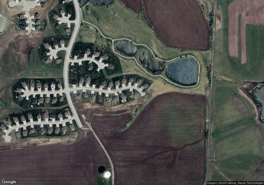
Map
Nearby Homes
- 27817 E 133rd St
- 27601 E 128th Ct
- 27810 E 133rd Ct
- 27805 134th St
- 12800 S Foxborough Ct
- 27614 E Red Fox St
- 27604 E 128th Ct
- 13104 S 7 Hwy
- 27302 Herring Rd
- 12602 S Parkwood Ln
- 27020 E Olive Dr
- 27013 E Olive Dr
- 27016 E Dogwood Ln
- 12428 S Aspen Ln
- 27016 E Dogwood Ln
- 12429 S Redwood St
- 12418 E Acacia Dr
- 12416 E Acacia Dr
- 27014 E Dogwood Ln
- 27014 E Dogwood Ln
- 27815 E 133rd St
- 27816 E 133rd St
- 27818 E 133rd St
- 27820 E 133rd St
- 27819 E 133rd St
- 27817 133rd St
- 27812 E 133rd Ct
- 27813 133rd Ct
- 27901 E Lake Point Dr
- 27810 133rd Ct
- 27811 133rd Ct
- 27903 E Lake Point Dr
- 27830 E 133rd Ct
- 27826 E 133rd Ct
- 27825 E 133rd Ct
- 27821 E 133rd Ct
- 27814 E 133rd Ct
- 0 E 133rd Ct
- 27905 E Lake Point Dr
- 27808 133rd Ct
Your Personal Tour Guide
Ask me questions while you tour the home.