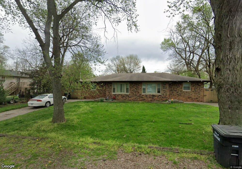
2783 Emerson St Unit 85 Portage, IN 46368
Estimated Value: $200,000 - $254,000
2
Beds
1
Bath
897
Sq Ft
$265/Sq Ft
Est. Value
About This Home
This home is located at 2783 Emerson St Unit 85, Portage, IN 46368 and is currently estimated at $237,935, approximately $265 per square foot. 2783 Emerson St Unit 85 is a home located in Porter County with nearby schools including Wallace Aylesworth Elementary, William Fegely Middle School, and Portage High School.
Ownership History
Date
Name
Owned For
Owner Type
Purchase Details
Closed on
Jan 5, 2024
Sold by
Scott Richard E and Scott Robert E
Bought by
Mahome Deante
Current Estimated Value
Home Financials for this Owner
Home Financials are based on the most recent Mortgage that was taken out on this home.
Original Mortgage
$258,250
Outstanding Balance
$254,013
Interest Rate
7.29%
Mortgage Type
VA
Estimated Equity
-$16,078
Purchase Details
Closed on
Mar 23, 2016
Sold by
Scott Richard E and Scott Robert E
Bought by
Scott Richard E and Scott Robert E
Create a Home Valuation Report for This Property
The Home Valuation Report is an in-depth analysis detailing your home's value as well as a comparison with similar homes in the area
Home Values in the Area
Average Home Value in this Area
Purchase History
| Date | Buyer | Sale Price | Title Company |
|---|---|---|---|
| Mahome Deante | -- | Chicago Title | |
| Scott Richard E | -- | None Available |
Source: Public Records
Mortgage History
| Date | Status | Borrower | Loan Amount |
|---|---|---|---|
| Open | Mahome Deante | $258,250 |
Source: Public Records
Tax History Compared to Growth
Tax History
| Year | Tax Paid | Tax Assessment Tax Assessment Total Assessment is a certain percentage of the fair market value that is determined by local assessors to be the total taxable value of land and additions on the property. | Land | Improvement |
|---|---|---|---|---|
| 2024 | $3,030 | $231,400 | $39,500 | $191,900 |
| 2023 | $2,990 | $149,500 | $37,600 | $111,900 |
| 2022 | $2,830 | $141,500 | $37,600 | $103,900 |
| 2021 | $2,684 | $132,200 | $37,600 | $94,600 |
| 2020 | $2,376 | $116,800 | $34,300 | $82,500 |
| 2019 | $2,376 | $116,800 | $34,300 | $82,500 |
| 2018 | $2,288 | $112,400 | $34,300 | $78,100 |
| 2017 | $2,166 | $106,300 | $34,300 | $72,000 |
| 2016 | $2,046 | $100,300 | $30,600 | $69,700 |
| 2014 | $2,042 | $100,100 | $30,700 | $69,400 |
| 2013 | -- | $98,000 | $30,700 | $67,300 |
Source: Public Records
Map
Nearby Homes
- 5630 Mulberry Ave
- 5550 Morehouse Ct
- 5426 Mulberry Ave
- 5723 Independence Ave
- 2853 Belmont St
- 5747 Independence Ave
- 2980 Elmwood St
- 2565 Charles St
- 3011 Peterson St
- 3049 Debra St
- 3042 Wood St
- 5589 Robbins Ave
- 3109 Oakwood St
- 5811 Stone Ave
- 3066 Fawn Ln
- 5193 Terry Ave
- 3074 Fawn Ln
- 2814 Monnier St
- 2471 Woodward St
- 3106 Fawn Ln
- 2783-85 Emerson St
- 2787 Emerson St
- 5531 Mulberry Ave
- 2790 Whittier St
- 2784 Whittier St
- 2780 Emerson St
- 2803 Emerson St
- 2796 Whittier St
- 5523 Mulberry Ave
- 2806 Whittier St
- 2804 Emerson St
- 5542 Mulberry Ave
- 5542 Mulberry Ave Unit 3
- 5542 Mulberry Ave Unit 2
- 5542 Mulberry Ave Unit 1
- 5536 Mulberry Ave
- 5528 Mulberry Ave
- 2811 Emerson St
- 5548 Mulberry Ave
- 2810 Whittier St