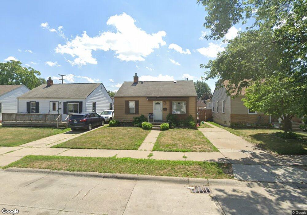
2783 Norman St Melvindale, MI 48122
Estimated Value: $102,061 - $128,000
Studio
--
Bath
725
Sq Ft
$161/Sq Ft
Est. Value
About This Home
This home is located at 2783 Norman St, Melvindale, MI 48122 and is currently estimated at $116,765, approximately $161 per square foot. 2783 Norman St is a home located in Wayne County with nearby schools including Rogers Early Elementary School, Allendale Elementary School, and Julian O. Strong Middle School.
Ownership History
Date
Name
Owned For
Owner Type
Purchase Details
Closed on
Aug 12, 2015
Sold by
Varney Roger and Varney Deborah
Bought by
Kozlowski Patrick Wayne
Current Estimated Value
Purchase Details
Closed on
Apr 28, 2015
Sold by
Kozlowski Patrick Wayne and Kozlowski Patrick
Bought by
Kozlowski Patrick Wayne
Purchase Details
Closed on
Jun 11, 2010
Sold by
Kozlowski Patrick Wayne and Klimek Sheila
Bought by
Klimek Sheila and Frescurra Sherry
Purchase Details
Closed on
Aug 5, 1994
Sold by
Ritter Masel and Kozlowski Masel
Bought by
Varney Shelia and Kozlowski Patrick Wayne
Create a Home Valuation Report for This Property
The Home Valuation Report is an in-depth analysis detailing your home's value as well as a comparison with similar homes in the area
Home Values in the Area
Average Home Value in this Area
Purchase History
| Date | Buyer | Sale Price | Title Company |
|---|---|---|---|
| Kozlowski Patrick Wayne | -- | Attorney | |
| Kozlowski Patrick Wayne | -- | Attorney | |
| Kozlowski Patrick Wayne | -- | None Available | |
| Klimek Sheila | -- | None Available | |
| Varney Shelia | -- | Minnesota Title |
Source: Public Records
Tax History
| Year | Tax Paid | Tax Assessment Tax Assessment Total Assessment is a certain percentage of the fair market value that is determined by local assessors to be the total taxable value of land and additions on the property. | Land | Improvement |
|---|---|---|---|---|
| 2025 | $771 | $52,000 | $0 | $0 |
| 2024 | $749 | $44,300 | $0 | $0 |
| 2023 | $1,452 | $38,500 | $0 | $0 |
| 2022 | $1,386 | $34,500 | $0 | $0 |
| 2021 | $1,343 | $30,700 | $0 | $0 |
| 2020 | $1,339 | $23,900 | $0 | $0 |
| 2019 | $1,241 | $20,400 | $0 | $0 |
| 2018 | $742 | $19,600 | $0 | $0 |
| 2017 | $921 | $20,000 | $0 | $0 |
| 2016 | $1,176 | $18,800 | $0 | $0 |
| 2015 | $1,707 | $17,200 | $0 | $0 |
| 2013 | $1,660 | $17,400 | $0 | $0 |
| 2012 | $734 | $17,000 | $2,900 | $14,100 |
Source: Public Records
Map
Nearby Homes
- 2735 Margaret St
- 19120 Dix Rd
- 19305 Wall St
- 19238 Harlow St
- 000 Harlow St
- 19504 Roger St
- 2140 Olive Ave
- 3603 Harlow Ave
- 18666 Reed St
- 24558 Outer Dr
- 1862 Montie Rd
- 1836 Reo Ave
- 2190 Morris Ave
- 2105 Morris Ave
- 2091 Morris Ave
- 2065 Morris Ave
- 18634 Wood St
- 3511 Elizabeth St
- 18295 Henry St
- 3492 Elizabeth St
- 2775 Norman St
- 2791 Norman St
- 2767 Norman St
- 2801 Norman St
- 2761 Norman St
- 2782 David St
- 2809 Norman St
- 2790 David St
- 2774 David St
- 2766 David St
- 2753 Norman St
- 2782 Norman St
- 2774 Norman St
- 2790 Norman St
- 2758 David St
- 2800 David St Unit Bldg-Unit
- 2810 David St
- 2798 Norman St
- 2764 Norman St
- 2745 Norman St
Your Personal Tour Guide
Ask me questions while you tour the home.