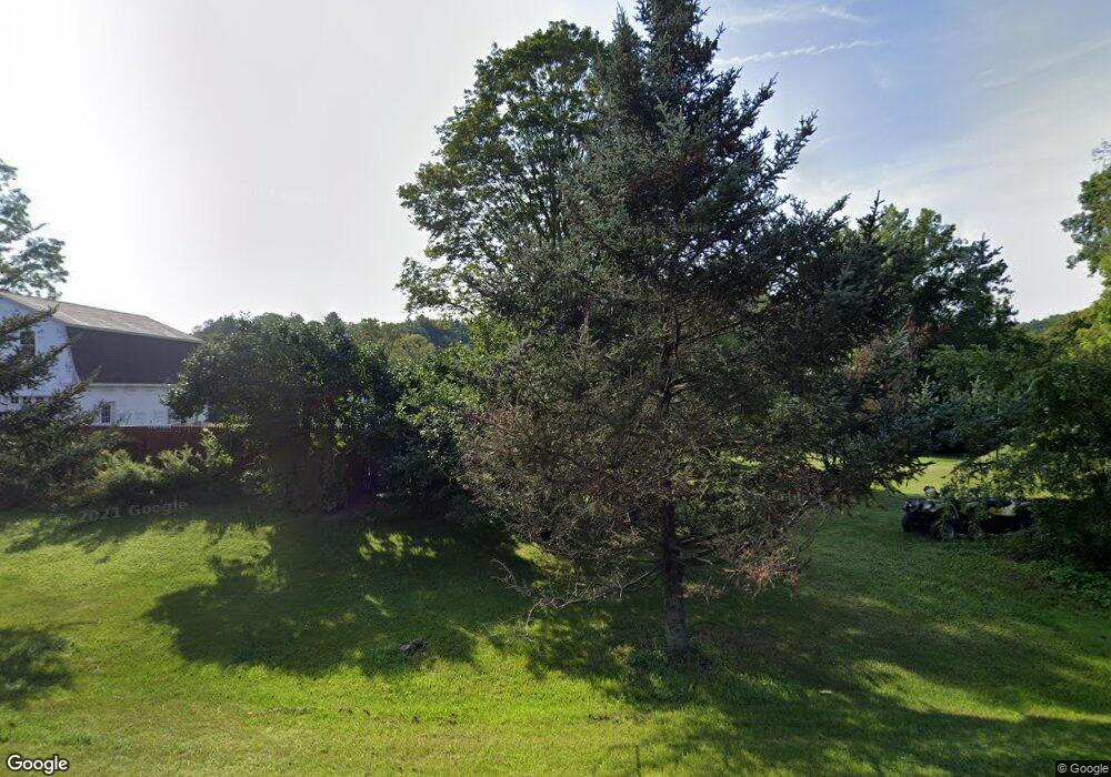
2784 State Route 29 Greenwich, NY 12834
Estimated Value: $250,000 - $308,114
2
Beds
1
Bath
1,169
Sq Ft
$238/Sq Ft
Est. Value
About This Home
This home is located at 2784 State Route 29, Greenwich, NY 12834 and is currently estimated at $278,779, approximately $238 per square foot. 2784 State Route 29 is a home located in Washington County with nearby schools including Greenwich Elementary School and Greenwich Junior/Senior High School.
Ownership History
Date
Name
Owned For
Owner Type
Purchase Details
Closed on
Jan 25, 2017
Sold by
Pailley Joseph F
Bought by
Pailley Joseph
Current Estimated Value
Home Financials for this Owner
Home Financials are based on the most recent Mortgage that was taken out on this home.
Original Mortgage
$89,000
Outstanding Balance
$43,724
Interest Rate
3.44%
Mortgage Type
Purchase Money Mortgage
Estimated Equity
$235,055
Purchase Details
Closed on
Nov 28, 1995
Sold by
Gilchrist Terry D Smith Lillis
Bought by
Brown Kevin J and Brown Betty J
Create a Home Valuation Report for This Property
The Home Valuation Report is an in-depth analysis detailing your home's value as well as a comparison with similar homes in the area
Home Values in the Area
Average Home Value in this Area
Purchase History
| Date | Buyer | Sale Price | Title Company |
|---|---|---|---|
| Pailley Joseph | -- | Elizabeth Donahue | |
| Brown Kevin J | $85,000 | -- |
Source: Public Records
Mortgage History
| Date | Status | Borrower | Loan Amount |
|---|---|---|---|
| Open | Pailley Joseph | $89,000 |
Source: Public Records
Tax History Compared to Growth
Tax History
| Year | Tax Paid | Tax Assessment Tax Assessment Total Assessment is a certain percentage of the fair market value that is determined by local assessors to be the total taxable value of land and additions on the property. | Land | Improvement |
|---|---|---|---|---|
| 2024 | $5,216 | $258,800 | $38,400 | $220,400 |
| 2023 | $4,929 | $227,000 | $38,400 | $188,600 |
| 2022 | $4,411 | $193,500 | $38,400 | $155,100 |
| 2021 | $4,335 | $170,400 | $38,400 | $132,000 |
| 2020 | $3,629 | $163,800 | $38,400 | $125,400 |
| 2019 | $3,179 | $153,800 | $38,400 | $115,400 |
| 2018 | $3,179 | $145,100 | $38,400 | $106,700 |
| 2017 | $3,169 | $145,100 | $38,400 | $106,700 |
| 2016 | $3,043 | $139,700 | $38,400 | $101,300 |
| 2015 | -- | $137,000 | $38,400 | $98,600 |
| 2014 | -- | $137,000 | $38,400 | $98,600 |
Source: Public Records
Map
Nearby Homes
- 246 Ryan Rd
- L22 Ryan Rd
- 717 County Route 62
- 3 White Birch Ln
- 531 Sullivan Way
- 2158 State Route 29
- 236 Colfax Rd
- L9.1-4 Nealy Ln
- 9 McDougal Lake Rd
- 3638 State Route 29
- 393 Spraguetown Rd
- 217 Old Cambridge Rd
- 2 Highland St
- 42 Stanton Rd
- 15 Barber Ave
- 1 Cambridge Rd
- 4 Bridge St
- 5 Cabel St
- 76 & 79 Eddy St
- 40-42 Hill St
- 2788 State Route 29
- 2796 State Route 29
- 2795 State Route 29
- 2800 New York 29
- 2800 State Route 29
- 2799 State Route 29
- 2803 State Route 29
- 2806 New York 29
- 2805 State Route 29
- 2806 State Route 29
- 2770 State Route 29
- 2805 New York 29
- 2823 State Rt 29
- 2823 State Route 29
- 122 Brophy Rd
- 2825 New York 29
- 2825 State Route 29
- 2835 New York 29
- 2835 State Route 29
- 2824 State Route 29
