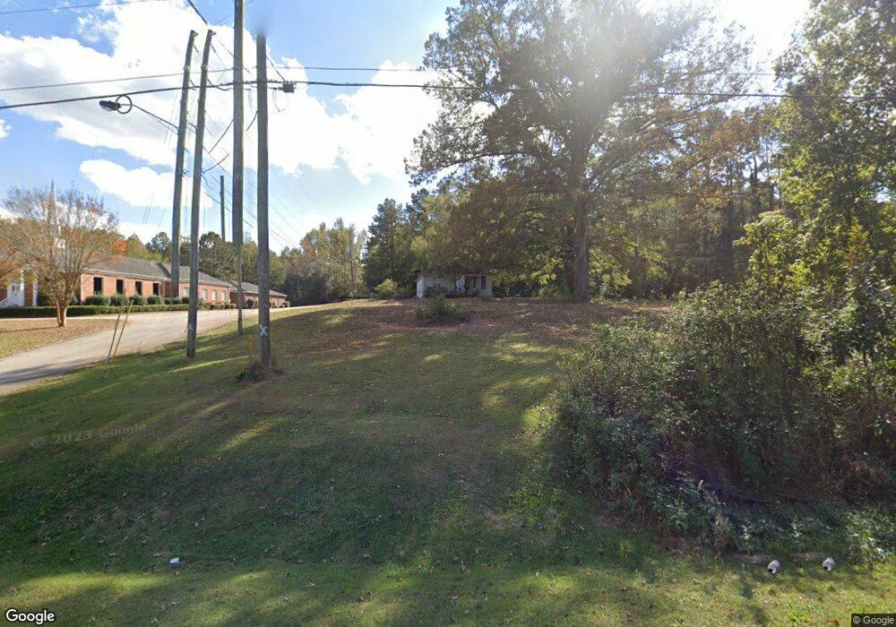
2785 West Point Rd Lagrange, GA 30240
Estimated Value: $87,193 - $149,000
2
Beds
1
Bath
852
Sq Ft
$132/Sq Ft
Est. Value
About This Home
This home is located at 2785 West Point Rd, Lagrange, GA 30240 and is currently estimated at $112,064, approximately $131 per square foot. 2785 West Point Rd is a home located in Troup County with nearby schools including Berta Weathersbee Elementary School, Long Cane Elementary School, and Whitesville Road Elementary School.
Ownership History
Date
Name
Owned For
Owner Type
Purchase Details
Closed on
May 29, 2022
Sold by
Ayres Memorial Methodist Church
Bought by
Ayres Memorial Church Inc
Current Estimated Value
Purchase Details
Closed on
Jun 7, 2000
Sold by
Harper Fred A and Harper Sherrie B
Bought by
Church Ayres Mem United Meth
Purchase Details
Closed on
May 10, 2000
Sold by
Harry Harper
Bought by
Harper Fred A and Harper Sherrie B
Purchase Details
Closed on
Jan 1, 1964
Bought by
Harry Harper
Purchase Details
Closed on
Jan 1, 1949
Create a Home Valuation Report for This Property
The Home Valuation Report is an in-depth analysis detailing your home's value as well as a comparison with similar homes in the area
Purchase History
| Date | Buyer | Sale Price | Title Company |
|---|---|---|---|
| Ayres Memorial Church Inc | -- | -- | |
| Church Ayres Mem United Meth | $30,000 | -- | |
| Harper Fred A | -- | -- | |
| Harry Harper | -- | -- | |
| -- | -- | -- |
Source: Public Records
Tax History
| Year | Tax Paid | Tax Assessment Tax Assessment Total Assessment is a certain percentage of the fair market value that is determined by local assessors to be the total taxable value of land and additions on the property. | Land | Improvement |
|---|---|---|---|---|
| 2025 | $711 | $26,064 | $5,640 | $20,424 |
| 2024 | $607 | $22,240 | $5,640 | $16,600 |
| 2023 | $528 | $19,368 | $5,640 | $13,728 |
| 2022 | $516 | $18,488 | $5,640 | $12,848 |
| 2021 | $415 | $13,748 | $5,240 | $8,508 |
| 2020 | $415 | $13,748 | $5,240 | $8,508 |
| 2019 | $422 | $13,976 | $5,240 | $8,736 |
| 2018 | $397 | $13,164 | $5,240 | $7,924 |
| 2017 | $397 | $13,164 | $5,240 | $7,924 |
| 2016 | $405 | $13,427 | $5,260 | $8,167 |
| 2015 | $406 | $13,427 | $5,260 | $8,167 |
| 2014 | $393 | $12,997 | $5,260 | $7,737 |
| 2013 | -- | $13,066 | $12,736 | $330 |
Source: Public Records
Map
Nearby Homes
- 808 S Fling Rd
- 0 Bradfield Dr Unit 10568803
- 8 Horace Carter Rd
- 427 Fling Rd
- 509 Connie Dr
- 0 Glass Bridge Rd Unit 10679358
- 275 Hanson Dr
- 0 Hanson Dr Unit 10641272
- 22 Freeman Rd
- 103 Hawthorne Cir
- 124 Foxdale Dr
- 3 Reed Dr
- 105 Redwood Dr
- 266 Glass Bridge Rd
- 104 Bridlewood Dr
- 0 Unit 10514554
- 336 Whitaker Rd
- 640 Hudson Rd
- 223 Pinehaven Dr
- 3835 W Point Rd
- 2809 West Point Rd
- 24 Oakridge Dr
- 2760 West Point Rd
- 44 Oakridge Dr
- 56 Oakridge Dr
- 2800 West Point Rd
- 2714 W Point Rd
- 25 Oakridge Dr
- 2829 W Point Rd
- 17 Oakridge Dr
- 799 S Fling Rd
- 2829 West Point Rd
- 801 S Fling Rd
- 803 S Fling Rd
- 2725 West Point Rd
- 2842 W Point Rd
- 74 Oakridge Dr
- 45 Oakridge Dr
- 2726 W Point Rd
- 2726 West Point Rd
Your Personal Tour Guide
Ask me questions while you tour the home.