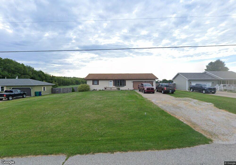
2787 S 350 E La Porte, IN 46350
La Porte AreaEstimated Value: $240,000 - $272,000
About This Home
This home is located at 2787 S 350 E, La Porte, IN 46350 and is currently estimated at $252,632, approximately $190 per square foot. 2787 S 350 E is a home located in LaPorte County with nearby schools including Indian Trail Elementary School, La Porte High School, and La Porte Middle School.
Ownership History
We collect this data history from publicly available records. To have your information removed, we recommend requesting removal directly through your county’s website.
Purchase Details
Home Financials for this Owner
Home Financials are based on the most recent Mortgage that was taken out on this home.Purchase History
We collect this data history from publicly available records. To have your information removed, we recommend requesting removal directly through your county’s website.
| Date | Buyer | Sale Price | Title Company |
|---|---|---|---|
| -- | Ticor Title Insurance Co |
Mortgage History
We collect this data history from publicly available records. To have your information removed, we recommend requesting removal directly through your county’s website.
| Date | Status | Borrower | Loan Amount |
|---|---|---|---|
| Open | $103,200 | ||
| Closed | $110,000 | ||
| Closed | $147,250 |
Tax History
We collect this data history from publicly available records. To have your information removed, we recommend requesting removal directly through your county’s website.
| Year | Tax Paid | Tax Assessment Tax Assessment Total Assessment is a certain percentage of the fair market value that is determined by local assessors to be the total taxable value of land and additions on the property. | Land | Improvement |
|---|---|---|---|---|
| 2025 | $1,796 | $190,800 | $18,900 | $171,900 |
| 2024 | $1,878 | $183,400 | $18,900 | $164,500 |
| 2022 | $1,622 | $163,600 | $18,900 | $144,700 |
| 2021 | $1,530 | $149,900 | $18,900 | $131,000 |
| 2020 | $1,511 | $149,900 | $18,900 | $131,000 |
| 2019 | $1,577 | $157,200 | $30,000 | $127,200 |
| 2018 | $1,145 | $129,100 | $20,000 | $109,100 |
| 2017 | $1,061 | $123,200 | $20,000 | $103,200 |
| 2016 | $1,215 | $136,300 | $20,000 | $116,300 |
| 2014 | $1,135 | $136,800 | $20,000 | $116,800 |
Map
- 3381 E 300 S
- 2530 S 400 E
- 3882 E 200 S
- 0 E State Road 4
- 4725 E State Road 4
- 4552 E 200 S
- 2672 E State Road 4
- 3466 S State Road 104
- 3408 E 100 S
- 2252 E 400 S
- 761 S 300 E
- 15.39 Ac S Hupp Rd
- 3961 State Road 104
- 1532 E State Road 4
- 6781 E 200 S
- 2372 S Taylor Rd
- 82 Prince William Ct
- 105 Greenwood Dr
- 0 N Fail Rd Unit NRA838039
- 102 W 250 S
Ask me questions while you tour the home.